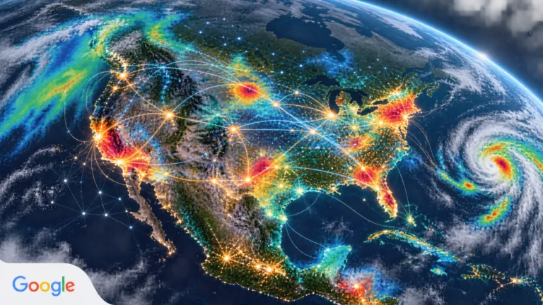
Google Earth AI Wants to Turn Place Into Public-Health Infrastructure
Google's Population Dynamics Foundation Model combines mobility, search, environmental and place signals to improve disease forecasting. The opportunity is significant, but so are the validation, access and governance questions.

Google's Population Dynamics Foundation Model combines mobility, search, environmental and place signals to improve disease forecasting. The opportunity is significant, but so are the validation, access and governance questions.
Videos
From Aerial Image to AI-Enabled Product | The Next Geo by Geoawesome

Dual use EO trend necessity or new normal | The Next Geo by Geoawesome
Geo4Good Teaching Drones in Africa | The Next Geo by Geoawesome
The End of Blurry Point Clouds: 3D Gaussian Splatting Explained
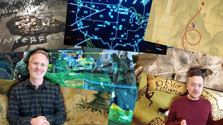
Expert Reviews MOVIE MAPS
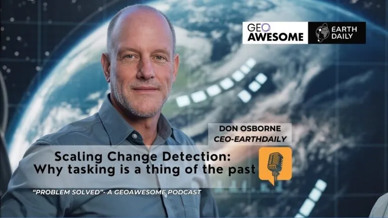
Scaling Change Detection: Why tasking is a thing of the past | Problem Solved | Geoawesome Podcast
The latest








Podcasts
All PodcastsToday’s Featured

More Stories



Search

