
Geo Sessions 2026 explores how organizations turn AI from experimentation into operational geospatial workflows
Artificial intelligence has dominated conversations across the geospatial industry for the past couple years. Every conference, webinar, and product announcement seem to include AI in some form. But the conversation is changing. The question is no longer whether AI has potential. Most organizations already believe it does. The real question is much more practical: How do you turn AI into something that delivers measurable value?
That challenge, operationalizing GeoAI, is becoming one of the defining topics in geospatial technology. “We’ve largely solved the collection problem,” said Dan Gruidel, Vice President of Strategy & Business Development at NV5. “Commercial satellites, drones, and airborne sensors are generating unprecedented amounts of information. The real challenge is helping decision-makers understand what matters and what action they should take.”
In other words, AI isn’t valuable because it can analyze data. It’s valuable because it can help organizations make better decisions faster.
Moving Beyond AI Pilots
Across industries, organizations have experimented with AI for image classification, feature extraction, object detection, and predictive analytics. Many of those pilots have been successful. Scaling them has been another matter.
Geospatial workflows rarely involve a single dataset or a single tool. They span imagery, lidar, SAR, GIS, enterprise systems, field operations, and subject matter experts. Moving from isolated AI models to connected operational workflows remains one of the industry’s biggest challenges.
That’s why conversations are shifting from algorithms to implementation. How do organizations integrate GeoAI into existing workflows? How do they connect multiple datasets? How do they ensure people trust the results? And how do they move from experimentation to everyday operations?
From Technology to Outcomes
The answers differ by industry, but the goal is remarkably consistent. Transportation agencies want to prioritize infrastructure inspections. Utilities need better visibility into network conditions. Environmental organizations want to understand change across landscapes. Emergency managers need timely information they can act on. In every case, GeoAI is only one part of a much larger workflow. The value comes from connecting data, analytics, and operational systems so organizations can move from information to action with greater speed and confidence. As Gruidel puts it, “Success isn’t measured by how much data you have. It’s measured by how quickly you transform that data into action.”
A Conversation the Industry Is Ready to Have
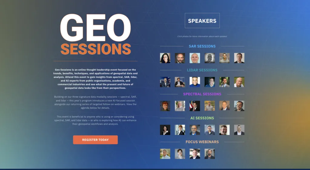
That focus is reflected in Geo Sessions, NV5’s annual virtual thought leadership event, which brings together experts from industry, government, academia, and technology organizations to discuss practical applications of geospatial technology. For the first time, the event includes a dedicated GeoAI track focused entirely on operational adoption. According to Ors Kovacs, Geo Sessions Committee Chair, the theme emerged naturally from conversations taking place across the industry. “This year’s bonus session asks the question everyone is asking: How do we operationalize and extract benefits from GeoAI?”
Rather than focusing on GeoAI as a standalone technology, the program examines how organizations are integrating it into real-world geospatial workflows alongside lidar, SAR, spectral imagery, GIS, and other remote sensing technologies. That practical perspective has always shaped the event. “We believe technologies become valuable when they help solve a problem,” Kovacs said. “That’s why we gear Geo Sessions toward practical, application-based content rather than overly technical presentations.”
From Hype to Practice
The geospatial industry has never lacked innovation. What’s changing now is the emphasis on implementation. Organizations are no longer asking whether AI belongs in geospatial workflows. They’re asking where it delivers the greatest value, how it integrates with existing systems, and how to deploy it responsibly at scale.
Those are the conversations that will shape the next generation of geospatial technology. And they’re the conversations Geo Sessions 2026 aims to bring together.
Whether you’re exploring GeoAI for the first time or looking to move beyond pilot projects into production, the event offers an opportunity to hear how practitioners, technology leaders, researchers, and end users are tackling the same challenges—and turning geospatial intelligence into operational results.
Register today for Geo Geosessions 2026 (www.NV5GeospatialSoftware.com/Geo-Sessions).




#Events



Next article
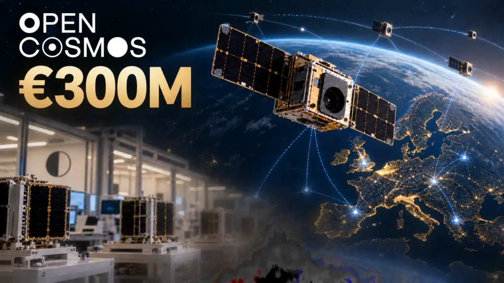
Open Cosmos has raised €300 million to expand satellite manufacturing and build out its Earth observation, connectivity and data-intelligence businesses. It is one of the largest recent funding rounds for a European space company, but its real significance is not the size of the cheque. The company is trying to prove that sovereign space infrastructure can be delivered as a repeatable commercial platform rather than as a series of slow, bespoke government programmes.
The round was led by Lightrock, with participation from European investors, two pension funds and the UK’s National Security Strategic Investment Fund. Open Cosmos says the money will expand four products: OpenOrbit for satellite missions, OpenConstellation for shared capacity, ConnectedCosmos for broadband and IoT, and DataCosmos for operational intelligence.
This is a much larger bet than manufacturing more small satellites.
From satellite projects to infrastructure
Open Cosmos says it can manufacture one satellite per day across facilities in the UK, Spain, Portugal and Greece. That describes theoretical capacity, not current output. The company has not disclosed how many spacecraft it expects to deliver annually after the expansion.
There is evidence of a growing business underneath the announcement. The company reports more than $370 million in signed contracts over three and a half years. Its UK group accounts show turnover rising from £6.5 million in 2023 to £45.9 million in 2025, with a £5.7 million operating profit. That supports the growth claim, although contracts are not recognized revenue.
The round therefore finances a transition. Open Cosmos has shown that it can build missions for institutions and regional governments. It must now show that it can industrialize production while operating its own shared infrastructure and selling higher-margin intelligence and connectivity services on top.
Its most distinctive idea is OpenConstellation. Instead of requiring every country or region to finance a standalone fleet, participating customers contribute satellites and share data from the wider network. Portugal’s planned spacecraft, the UK’s Atlantic Constellation pathfinder and regional missions such as the Balearic Islands’ Posidònia satellite illustrate the model.
For smaller countries, the proposition offers tasking influence and locally relevant data without paying for an entire constellation. For Open Cosmos, sharing assets could create recurring revenue and a larger multisensor network.
Sovereignty is creating a market
The financing arrives as European governments redefine space systems as critical infrastructure. Russia’s invasion of Ukraine exposed the military and political value of commercial satellite imagery and connectivity, but also the risk of depending on infrastructure controlled outside Europe.
That has produced a spectrum of sovereign procurement. Governments can buy access to commercial imagery, reserve capacity, acquire dedicated satellites or fund national constellations. Open Cosmos is positioning itself across all four layers, from spacecraft manufacturing to the final intelligence product.
The model sits between traditional prime contractors and pure data companies. Airbus, Thales Alenia Space and OHB remain formidable. Aerospacelab is scaling mass production through IRIS². Planet offers governments dedicated optical constellations. ICEYE reports seven sovereign radar-system customers and raised €450 million in 2026. EnduroSat raised $205 million days after Open Cosmos to expand standardized fleets.
Open Cosmos is less specialized than ICEYE and much smaller than the primes. Its advantage is flexibility: it can combine different payloads, distribute manufacturing across several European countries and offer shared ownership economics. Its risk is that this breadth creates too many businesses to scale simultaneously.
The hard part is the use case
Open Cosmos describes a compelling future in which a satellite detects a forest temperature anomaly, onboard AI classifies a likely fire, inter-satellite links relay the alert, and connectivity services deliver it directly to responders. Similar architectures could support maritime surveillance, flood response, infrastructure monitoring, agriculture and border security.
But these markets do not struggle because imagery is unavailable. They struggle with cloud cover, revisit gaps, false positives, integration and delays between receiving an alert and acting. A 30-minute delivery claim matters only if the satellite can observe the location, classify the event reliably and reach an operational user.
Connectivity brings a different set of difficulties. Open Cosmos used Liechtenstein’s Ka-band filings for ConnectedCosmos and launched initial satellites quickly, but it subsequently sought more time to meet an International Telecommunication Union deployment milestone after India’s PSLV launcher was grounded. The episode shows that sovereignty does not remove dependence on launch providers, spectrum rules, ground infrastructure or component supply chains.
Open Cosmos must also reconcile shared infrastructure with sovereign control. Governments will ask where data is processed, who can retask assets during a crisis, which components come from outside Europe and what happens when participating countries have conflicting priorities. “Sovereign” cannot simply mean that the supplier is European. It requires enforceable control over operations, encryption, access, maintenance and replacement capacity.
What €300 million must prove
The funding gives Open Cosmos enough capital to become a major European satellite company. It does not guarantee that its four-layer platform will become a coherent business.
The indicators to watch are operational rather than promotional: satellites delivered per year, independently measured mission reliability, revenue recognized from the reported contract book, recurring data and connectivity revenue, and named customers using OpenConstellation intelligence in live workflows. The company also needs to demonstrate that its 30-minute delivery target works across representative use cases, not only selected demonstrations.
If Open Cosmos succeeds, Europe gains something it has often lacked: a commercially disciplined company capable of connecting regional manufacturing, shared satellite infrastructure and operational geospatial services. If it struggles, the likely reason will not be an inability to build satellites. It will be the much harder task of turning sovereign ambitions and orbital data into dependable services that governments use every day.


