#Business
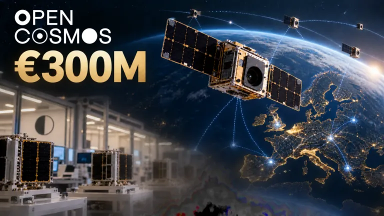
Open Cosmos Raises €300M. Now It Must Prove Sovereign Space Can Scale
Open Cosmos has raised €300 million to scale European satellite manufacturing, shared constellations and sovereign connectivity. The harder test is turning those assets into dependable operational services.

Open Cosmos has raised €300 million to scale European satellite manufacturing, shared constellations and sovereign connectivity. The harder test is turning those assets into dependable operational services.
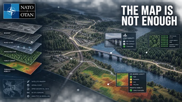
NATO Is Shopping for Geospatial Data That Can Survive the Real World
NATO is exploring global operational datasets that describe whether terrain and infrastructure can support real-world movement, revealing a market where provenance, licensing and interoperability matter as much as coverage.
NATO is exploring global operational datasets that describe whether terrain and infrastructure can support real-world movement, revealing a market where provenance, licensing and interoperability matter as much as coverage.








Search

