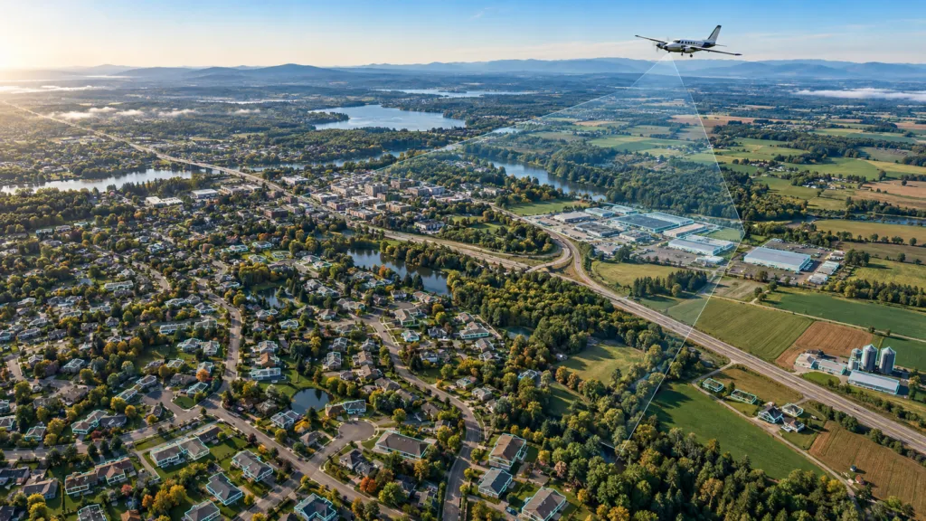

Nearmap has announced an unusually ambitious expansion of its US aerial program. Beginning in January 2027, the company plans to combine a new product called Nearmap Reach with its existing Core program to cover 97% of the US population and 95% of US buildings with 4 cm imagery.
If delivered as described, this would turn detail previously associated with selected urban programs into a broadly available annual layer. Nearmap wants customers to treat national-scale imagery and more than 130 AI-derived property layers as one operational product.
For insurers, governments and construction teams, that could reduce the gap between seeing a property and acting on it. It could also intensify competition with Vexcel and EagleView.
What Nearmap has actually announced
According to the company’s October announcement, Reach will add annual capture outside the metropolitan footprint served by Nearmap Core. Core will continue to cover about 88% of the US population, with some metropolitan areas refreshed up to three times per year.
Nearmap says the combined programs will deliver 4 cm ground sampling distance around 95% of US buildings. The imagery and AI layers will use its standard delivery channels. The expansion relies on its next-generation HyperCamera4 aerial system.
These are product plans, not delivered coverage. Capture is scheduled to start in January 2027, and Nearmap has not yet published detailed flight plans or timing. The announcement also omits price, total land area, delivery latency and independent accuracy measures for the AI layers.
Population and building percentages should not be confused with geographic coverage. A program can reach almost every person and structure while leaving large, sparsely populated areas uncaptured.
Where the claim fits competitively
Nearmap calls Reach the first and only annual 4 cm program at this scale. The resolution claim is the differentiator, not the widest existing footprint.
Vexcel says its current US library covers 99.6% of the population across 50 states. Its 2026 collection plan targets a refresh of 95% of the population and 122 million households: 1.53 million square kilometers at 7.5 cm and 3.64 million at 15 cm, with as many as three urban collections. Vexcel also offers orthogonal, oblique and multispectral imagery, elevation products, 3D city data and AI-derived features.
EagleView emphasizes a different moat. Its Vault archive spans more than 25 years and, according to the company, covers 96% of the US population. Its strength is not just current orthophotography but historical, oblique and property-measurement workflows.
Nearmap therefore is not entering an empty market and is not claiming the largest historical library. Its proposed advantage is a consistent combination of 4 cm detail, broad annual refresh and analytics across most of the built environment.
Nor does 4 cm mean competitors cannot produce sharper data. EagleView advertises imagery down to one-inch ground sampling distance in selected locations. The challenge is uniform quality at scale.
Why four centimeters can matter
At 4 cm, one pixel represents four centimeters on the ground. That does not guarantee object detection, but it provides more evidence for roof features, pavement markings and small changes than 7.5 cm or 15 cm imagery.
The business case becomes stronger when the capture is repeated consistently. An insurer could screen a broader book of properties using the same inputs. A local government could monitor more assets without commissioning separate flights. Construction teams could compare conditions across dispersed sites.
Still, a national AI layer is only useful if its errors are understood. Performance may vary with season, shadows, vegetation, roofing materials and regional building styles. Nearmap has not supplied validation statistics for the 130-plus layers in this announcement. Customers will need per-layer accuracy, capture dates, confidence information and clear rules for human review.
Practitioner discussions also underline that resolution is only one purchasing criterion. Positional accuracy, leaf-on or leaf-off timing, oblique views, spectral bands, archive depth, licensing terms and integration can outweigh a small difference in pixel size.
The bigger shift: imagery becomes infrastructure
The announcement reflects an aerial-imagery market moving away from occasional basemaps toward continuously refreshed decision infrastructure. The winning vendor may not be the one with the sharpest image in a sample. It may be the one that delivers consistent coverage, defensible analytics and predictable access across an entire portfolio.
Nearmap Reach raises that ambition. But until flights begin and customers can assess completeness, latency, accuracy and cost, it remains a 2027 execution promise. The next meaningful evidence will be the capture plan, independent product testing and proof that the AI layers remain reliable beyond the metropolitan areas where such systems are usually developed first.
Disclosure of claims: Coverage, resolution, refresh cadence and AI-layer counts are company claims from Nearmap, Vexcel and EagleView. The planned start date and current product footprints are confirmed in their published materials; future delivery and performance have not been independently verified.
How do you like this article? Read more and subscribe to our monthly newsletter!

#Business

Next article


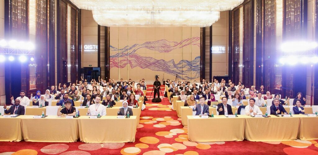
Participants at the inaugural GISTC International in Haikou, China. Image: GISTC International 2026 press material.
AI is changing how we work with geographic information. For GIS teams, the next step is making it useful in everyday projects: updating land records, managing urban infrastructure or improving disaster warnings. That was the focus of the first GISTC International, held in Haikou, China, from 19 to 22 October 2026.
Organized by SuperMap, the Geospatial Intelligence Software Technology Conference International brought together more than 120 experts, industry leaders and researchers from nearly 15 countries, according to the organizers. The event was supported by the United Nations Global Geospatial Knowledge and Innovation Centre and the International Federation of Surveyors (FIG).
International experience with practical GIS projects
Participants from countries including South Korea, Australia, Greece, Brazil, Malaysia, Thailand, Nigeria, Ghana and Indonesia shared experience from national projects. Discussions covered GeoAI, geospatial data infrastructure and the challenges of making these technologies accessible to more organizations.
This is where an international conference can be particularly useful. A land administration team in one country may face many of the same data and coordination problems as a team elsewhere. Comparing approaches helps practitioners understand what they could apply at home, and what would need to change. The mix of countries gave GISTC a useful starting point for those conversations.
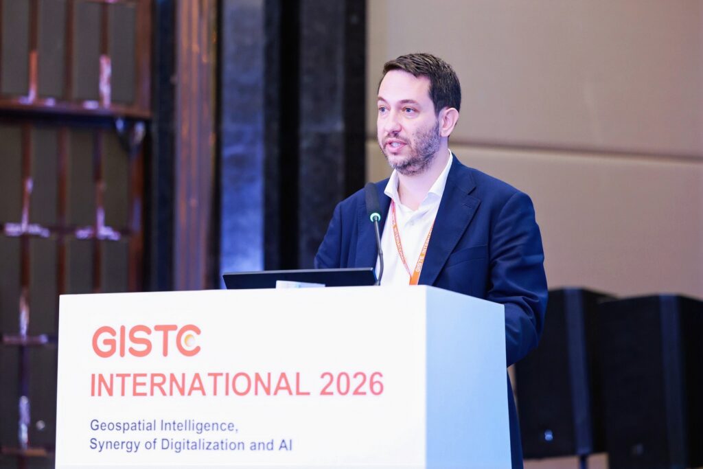
Michalis Kalogiannakis, Vice President of the International Federation of Surveyors (FIG), delivers a presentation.
From GIS tools to geospatial AI agents
SuperMap outlined its direction for combining AI and GIS, including a move toward AI agents with geospatial capabilities. The company also described its I-DAKA framework, a five-layer approach to applying digital and AI technologies.
For practitioners, the interesting part is what this could mean for their work. AI agents could help users carry out GIS tasks more easily, but their value will depend on reliable results and how well they fit existing workflows. Bringing software developers and people responsible for delivering projects into the same room creates an opportunity to discuss those requirements directly.
Time to learn and apply the technology
The program included four parallel forums and an International GIS Workshop, combining discussion with practical training. Topics ranged from land administration and urban planning to water resources, energy and disaster risk. For people choosing where to spend their conference time and budget, that combination offers a clear benefit: a chance to understand the technology and develop the skills to use it.
SuperMap also described its growing international portfolio of industry solutions. According to the company, its software supports projects in Southeast Asia, the Middle East, Latin America and Africa, including AI-assisted mapping, cadastral reform, digital twins and environmental monitoring. These applications give the conversation a concrete basis, especially for organizations working on similar projects.
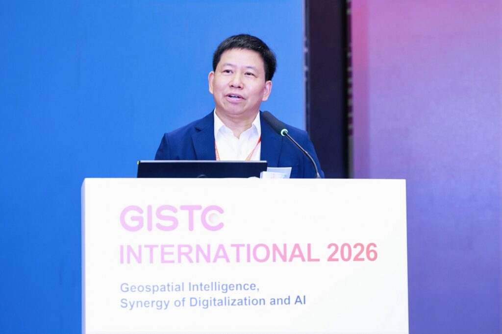
Song Guanfu, Chairman and CEO of SuperMap, addresses the conference.
Put GISTC on your 2027 radar
GISTC International has made a promising start. Its combination of international project experience, software development and practical training gives GIS professionals a reason to follow what comes next.
As you plan your conference calendar for 2027, keep GISTC International in mind. The first edition suggests it could become a useful meeting point for people applying GeoAI in government, infrastructure and natural resource management. Dates for a 2027 edition are still to be confirmed, so watch for the next announcement.
Follow updates on the official GISTC International website.


