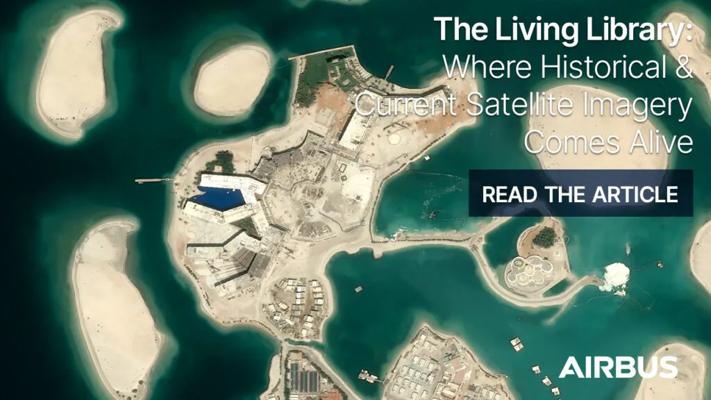
The Living Library: Where Historical and Current Satellite Imagery Comes Alive

In today’s geospatial environment, access to satellite imagery is no longer the challenge. The real challenge is finding the right imagery quickly, accessing it in the format you need, and seamlessly integrating it into existing workflows. The Living Library can help make the imagery you need, quick and easy to access with interoperability into multiple workflows.
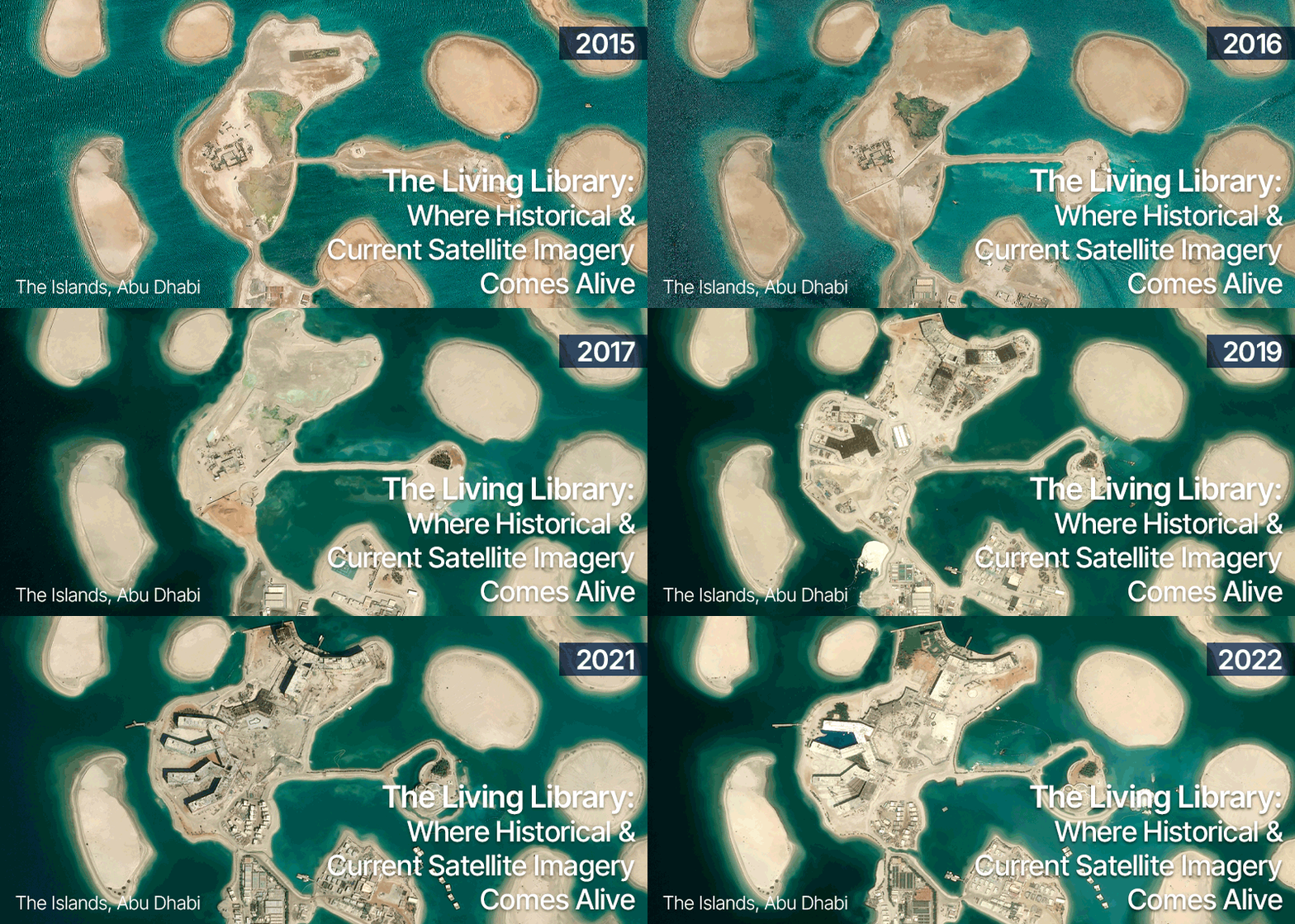
The Living Library is Airbus’ curated, cloud-based archive of premium optical satellite imagery, designed to provide geospatial professionals with rapid access to both recent and historical Earth observation data. Unlike traditional archives that require users to search, order, and wait for delivery, the Living Library offers imagery that is immediately available through streaming, download, APIs, and GIS integrations. The archive is continuously updated with new acquisitions every day, ensuring users have access to both fresh imagery and historical context.
Why Historical Context Matters
A current image can tell you what exists today. A historical archive helps explain how it got there.
Whether monitoring urban expansion, tracking infrastructure development, assessing environmental change, or supporting defense and security operations, understanding change over time is often just as important as understanding current conditions.
The Living Library provides access to curated Airbus imagery at resolutions ranging from 30 cm, 50 cm and 1.5 m resolution data. Subscribers can explore years of historical observations while also benefiting from newly acquired imagery that is added on a daily basis.
For organizations that routinely perform change detection, validation, site monitoring, or training and simulation activities, this temporal depth transforms imagery from a static dataset into a dynamic source of intelligence.
More Than an Archive
What makes the Living Library different from a traditional imagery archive is accessibility.
Users can search, view, stream, and download imagery directly from the cloud without managing large data repositories or waiting for custom production workflows. Access to imagery is flexible, allowing organizations to incorporate premium satellite data directly into their existing operational environments.
This flexibility enables a variety of workflows:
- Stream imagery directly into GIS applications for rapid visualization and analysis.
- Download full-resolution imagery for advanced processing
- Access data programmatically through APIs to automate geospatial processes.
- Integrate satellite imagery into enterprise mapping and decision-support systems.
A key capability of the Living Library that keeps users informed about new imagery over their area of interest is the “Alert on AOI” feature. Within OneAtlas, users can simply draw an AOI and activate an alert, after which they will receive an email notification whenever new imagery becomes available for that location. While new acquisitions are not guaranteed, users are automatically notified as soon as relevant data enters the archive
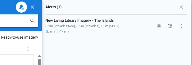
Users can set up an Alert on AOI to get notified when there is a new image over your AOI.
Complementing the Airbus Basemap
While the Living Library provides access to individual image acquisitions across time, the Airbus Global Basemap delivers a seamless, ready-to-use view of the world.
The Global Basemap provides worldwide coverage of up-to-date imagery that can be streamed or downloaded, creating a consistent foundation for mapping, visualization, and analysis. The Global Basemap is a ready-to-use layer with 30cm resolution over urban areas, 50cm and 1.5m resolution over the rest of the Earth’s landmass. Together, the two services provide a powerful combination: a current, globally consistent basemap for operational awareness and a historical imagery archive for temporal analysis and validation.
Users can move from a global view of current conditions to detailed historical imagery for a specific location in just a few clicks, helping answer both “What is here today?” and “How has it changed over time?”
Airbus offers more than just a Global Basemap, with a portfolio that includes global, regional, and customized basemap products that balance resolution, coverage, refresh frequency, and performance to meet diverse user requirements.
Bringing Imagery Directly into ArcGIS Pro
One of the biggest barriers to imagery adoption has traditionally been workflow complexity. Geospatial professionals often need to leave their GIS environment to search, order, and manage imagery.
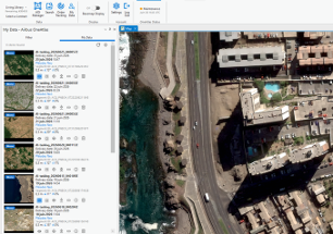
Airbus is helping simplify that process through its expanding integration options, including a new ArcGIS add-in that allows users to discover and access Airbus imagery directly within their ArcGIS environment. Combined with the Living Library subscription service, users can search historical imagery and bring premium satellite data into their projects without switching platforms.
The result is a more streamlined experience that reduces the time between identifying a need for imagery and putting that imagery to work.
The Future of Imagery Access
As satellite constellations continue to generate increasing volumes of data, success will depend less on the amount of imagery available and more on how easily organizations can access and use it.
The Living Library moves beyond traditional imagery archives by providing on-demand access to both historical and current satellite data. Through streaming, downloads, APIs, and ArcGIS integration, users can quickly find, access, and analyze imagery without disrupting their existing workflows.
For geospatial professionals, the value isn’t simply having access to imagery. It’s having the right imagery, at the right time, in the right place within their workflow.
To learn more about Airbus Imagery Services, including the Living Library and Imagery Basemaps, please visit our website.