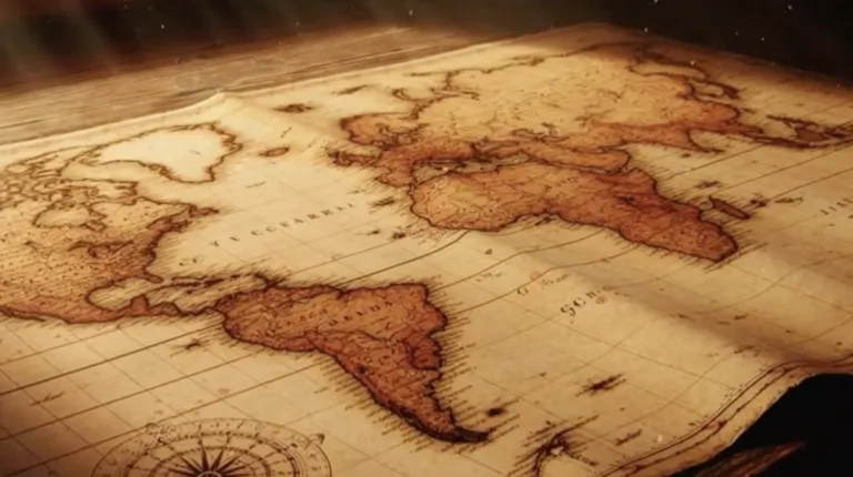
Map – poem by Wislawa Szymborska
Originally, I shared this blog post in 2014 after coming across the English translation of “Map” by Wisława Szymborska in The New Yorker.Reading it again more than a decade later, I felt compelled to …

Videos
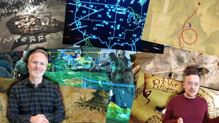
Expert Reviews MOVIE MAPS
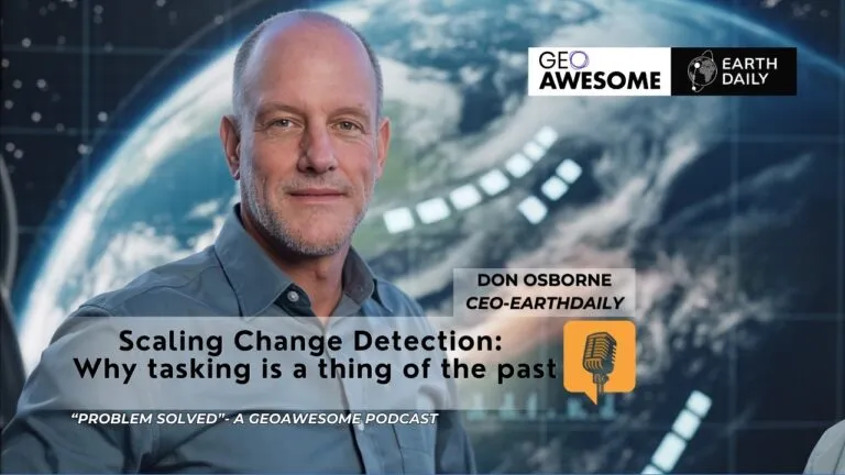
Scaling Change Detection: Why tasking is a thing of the past | Problem Solved | Geoawesome Podcast
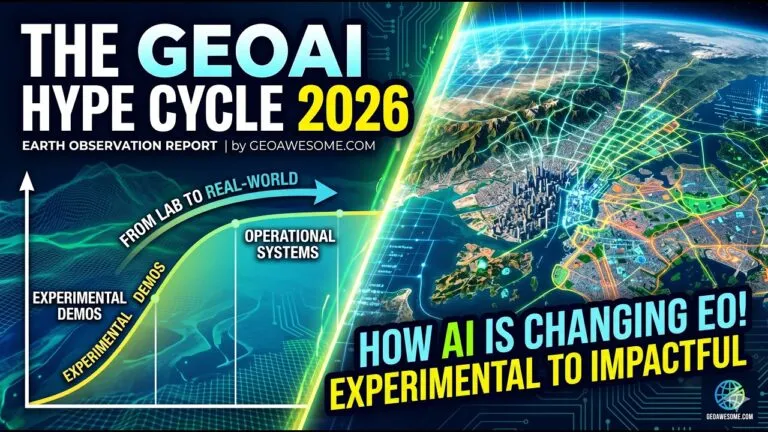
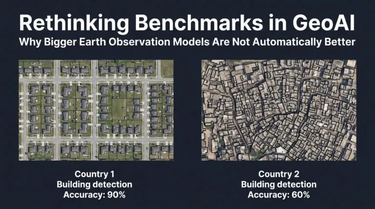
GeoAI Hype Cycle 2026 What’s Real, What’s Next in AI Powered Earth Observation
TW Landsat 9 – More Than Just A Picture
Mapping human well-being and development at the local level

GeoAI: The new frontier of Financial intelligence | GIST Impact | AI & Geospatial Dialogue
The latest


Events
Next Event
08.30.2026
FOSS4G 2026
Podcasts
All PodcastsToday’s Featured


More Stories

Search