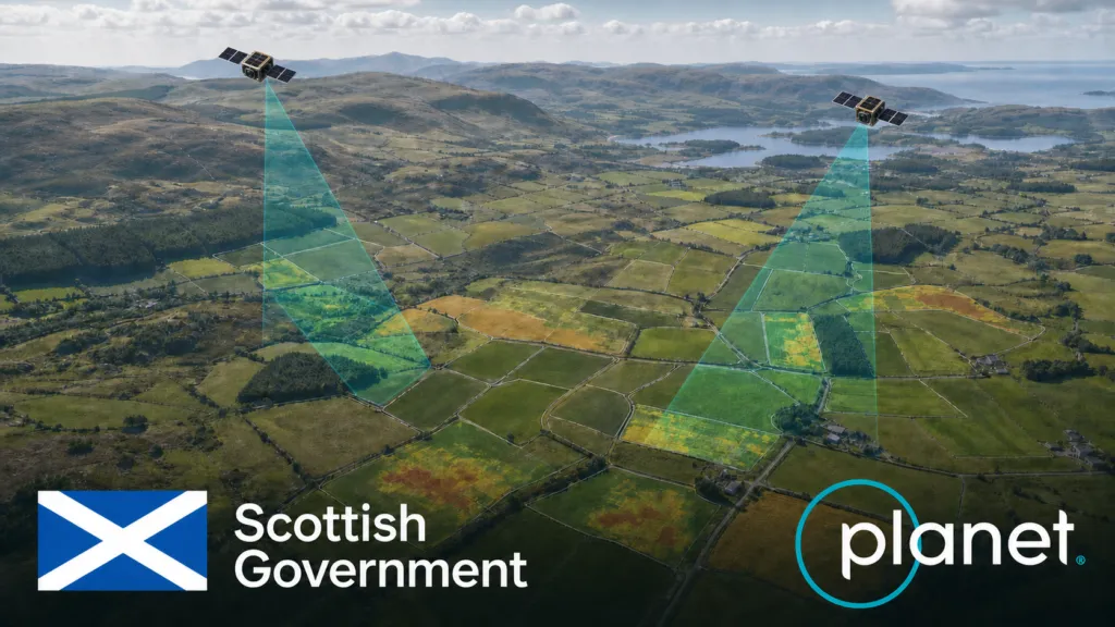

Scotland has selected Planet for a seven-figure agricultural monitoring project that reaches beyond the familiar task of buying satellite images. The one-year agreement combines PlanetScope data with advanced analytics intended to support the Scottish Government’s Agricultural Reform Route Map through 2026.
According to Planet’s corporate disclosure, the award was secured with reseller Computacenter by the Scottish Government’s Agricultural and Rural Economy Directorate. Planet says its archive and AI analysis will help assess progress toward sustainable food production, biodiversity and lower emissions.
The contract value, beyond being described as seven figures, has not been disclosed. Nor have the parties published detailed accuracy thresholds, the precise analytics to be delivered, or how automated findings will be reviewed. Those gaps matter because Scotland is testing more than another Earth-observation dataset: it is exploring how continuous geospatial evidence could become part of agricultural administration.
From satellite images to operational evidence
Public authorities have used satellite imagery in agriculture for years. What is changing is the procurement model. Agencies are increasingly buying an operational monitoring capability: frequent imagery, historical baselines, automated classification and alerts, delivered within a workflow that can influence policy implementation.
Scotland’s own 2026 spending review identifies satellite area-monitoring trials as a route to workforce efficiency. A separate government advisory note says agricultural reform monitoring should align with climate and biodiversity objectives, including indicators for soil health, water quality and greenhouse-gas emissions.
Satellite observations cannot measure all those outcomes directly. They can, however, provide repeatable evidence of land cover, crop development, mowing, bare soil, vegetation change and other observable activity. The critical step is linking those signals to policy indicators without overstating what a pixel or model can prove.
A wider European procurement pattern
Scotland is outside the EU’s Common Agricultural Policy, but its direction resembles changes across Europe. The CAP Area Monitoring System has pushed paying agencies toward automated, parcel-scale checks using Copernicus Sentinel data. The European Commission describes the system as a way to reduce physical inspections, identify errors earlier and simplify reporting.
That public-data foundation is now supporting a market for commercial layers and managed services. Planet markets an Area Monitoring Service for European paying agencies, while the Copernicus Data Space lists a broader ecosystem of CAP monitoring services.
Recent Planet deals illustrate the pattern. In May, the Czech State Agricultural Intervention Fund signed a two-year, seven-figure contract for imagery and AI-powered analytics supporting an agricultural payments system covering about 25,000 holdings. Wales has expanded its use of Planet data from trials toward routine systems for agriculture, water and land-use monitoring. These are not identical procurements, but collectively they show governments moving from experiments toward recurring operational capacity.
The real test is auditability
The attraction is straightforward: satellites can observe large territories repeatedly, while automated analysis can direct staff toward the cases that need attention. The risks are equally clear. Cloud cover, small parcels, mixed land use and differences between an observed activity and a policy outcome can create uncertainty. A model may flag change without explaining its cause.
For that reason, the most important questions are institutional rather than spectral. Will farmers be able to see and challenge the evidence used in a decision? How will confidence scores and ambiguous cases be handled? Which observations come from commercial data, which from public Copernicus missions, and can the process continue if a supplier changes?
Scotland’s project should therefore be judged on more than model accuracy. Its strategic value will depend on whether the government builds an explainable monitoring system with clear human review, proportionate ground verification and durable data governance.
The wider European lesson is that satellite monitoring is becoming infrastructure for agricultural administration. Planet’s Scottish award is another sign that the competitive battleground is shifting from selling imagery to delivering trusted, policy-ready evidence. The companies that succeed will not simply observe land more often; they will make automated observations accountable enough for public decisions.



#Business


Next article
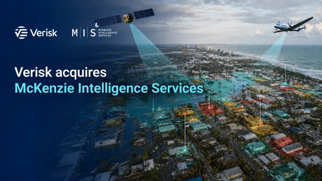
Verisk has acquired McKenzie Intelligence Services, bringing real-time geospatial analysis of catastrophes and conflicts into one of the insurance industry’s largest risk-modelling businesses.
The deal connects two previously separate parts of insurance intelligence: estimating potential losses before an event and understanding the damage while it is unfolding.
Financial terms were not disclosed. Verisk said the acquisition is not expected to have a material effect on its financial results.
From risk models to live events
Traditional catastrophe models help insurers estimate how hurricanes, floods, earthquakes and other hazards could affect their portfolios. They are essential for pricing and capital planning, but they do not necessarily show what is happening during a specific event.
McKenzie Intelligence Services, or MIS, focuses on this operational phase.
Its Global Events Observer platform combines satellite, aerial, drone and ground-level information with radar, sensors and open-source intelligence. Analysts use these sources to estimate affected properties, portfolio exposure and potential losses.
MIS says it can produce an initial exposure layer within 24 hours and more detailed damage and financial assessments within 48 to 72 hours. Its platform has reportedly covered more than 200 catastrophic events since 2021.
Under Verisk, MIS will join the company’s Catastrophe and Risk Solutions division. Its intelligence is expected to complement Verisk’s catastrophe models, loss indexes, claims technology and recently introduced Synergy Studio platform.
The acquisition also strengthens Verisk’s analysis of strikes, riots, civil unrest and political violence, where information can change rapidly and conventional natural-hazard models offer only part of the picture.
Why the combination makes sense
For insurers, the potential value is a more continuous workflow.
A company could use Verisk models to understand its exposure before an event, MIS intelligence to identify damage as the event develops and claims tools to prioritize the response afterward. Bringing these stages together may reduce the time spent transferring data between systems and teams.
That could improve claims triage and help insurers contact affected policyholders sooner. It may also support portfolio-level loss estimates before field inspections are complete.
The more cautious view is that faster intelligence is not automatically better intelligence. Satellite and aerial imagery can be incomplete, obscured or captured at the wrong time. Automated damage classifications still require validation, and insurers need to understand confidence levels before acting on property-level results.
There is also a market-structure question. Integrating modelling, event intelligence and claims workflows with one large supplier may simplify operations, but it can make independent comparison more difficult.
A broader geospatial shift
The deal illustrates how Earth observation is becoming embedded in financial operations rather than delivered as a standalone image or map.
The strategic asset is not simply access to imagery. It is the ability to convert several geospatial sources into defensible decisions while a disaster is still unfolding.
For Verisk, acquiring MIS closes part of the gap between predicted risk and observed damage. The real test will be whether the integration gives insurers faster decisions without hiding uncertainty or reducing their ability to challenge the analysis.
Sources: Verisk’s acquisition announcement, independent coverage from Artemis, and MIS Global Events Observer.


