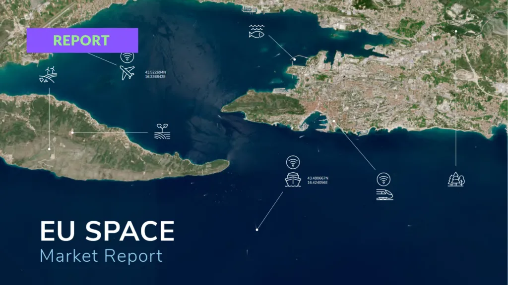

EUSPA launches new EU Space Market Report
The new edition of the EU Space Market Report was published today. For the first time it brings Global Navigation Satellite Systems (GNSS), Earth observation (EO), Secure Satellite Communications, and Space Situational Awareness (SSA) into a single publication, with 16 market segments analysed across the downstream sector.
Bringing together GNSS, Earth Observation, Secure SATCOM, and Space Situational Awareness within a single publication reflects the growing synergies between these domains and their strategic importance for Europe’s economy, resilience, and autonomy.
— Rodrigo da Costa, EUSPA Executive Director
GNSS and EO: a decade of sustained growth
Both markets show sustained growth across all 16 analysed segments. GNSS revenues are forecast to climb from over €300 billion in 2024 to more than €580 billion by 2034, while EO rises from €3.5 billion to €7.9 billion over the same period. Notably, GNSS service revenues are outpacing device revenues — by 2034, enabled services are expected to account for almost 80% of total GNSS revenue.
Annual GNSS device shipments are projected to grow from 1.75 billion units in 2024 to roughly 2.4 billion by 2034, with Consumer Solutions and Road and Automotive together accounting for the majority. Asia-Pacific is now the largest regional GNSS market by revenue.
Where EO revenues come from
Agriculture is the single largest EO segment, accounting for around 21% of revenues in 2024 and forecast to remain among the fastest-growing through 2034. The European supply side leads globally with a 42% share of EO revenues, while the US and Europe combined hold more than 83%.
Secure SATCOM: demand shifting toward security and crisis response
The Secure SATCOM market is structured around three pillars — surveillance, key infrastructure, and crisis management — covering 12 use cases. Data service revenues from EU users are forecast to climb from just over €200 million in 2025 to nearly €1.2 billion by 2040. Maritime surveillance drives demand today; by 2040 the market is expected to be led by law enforcement, civil protection, and force deployment.
Why a single report now
The report examines how climate change, geopolitical instability, and rapid urbanisation are reshaping space markets and pushing EO, GNSS, and Secure SATCOM closer together. Modern downstream products increasingly combine all three — and depend on SSA to keep the underlying space assets safe — which is the case EUSPA is making for treating them as one ecosystem rather than four standalone markets.
Did you like this post? Read more and subscribe to our monthly newsletter!



#Insights


Next article

In early April, reports emerged that Planet had indefinitely restricted access to satellite imagery of Iran and parts of the broader Middle East conflict zone following a request from the U.S. government. For many outside the space industry, it was just another geopolitical headline. For the Earth observation sector, it was something much bigger.
Suddenly, one of the world’s most visible symbols of “open commercial Earth observation” became a reminder of something else entirely: in times of crisis, sovereignty still wins. And honestly, nobody in the EO industry should be surprised.
For years, the space sector sold a vision of democratized access to Earth observation. Daily imagery. Open platforms. APIs for everyone. A future where governments, NGOs, journalists, startups, and researchers would all operate from the same shared visual reality of the planet.
But wars have a habit of exposing the true ownership structure of technology. When commercial imagery becomes tactically relevant, it stops being “just data.” It becomes infrastructure. Intelligence. Strategic leverage. And governments know it.
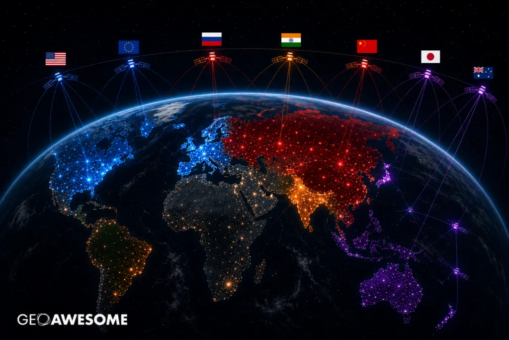
That is why we are seeing a massive acceleration of what could be called EO sovereignty — countries not just buying imagery subscriptions, but building sovereign access to the entire stack: satellites, tasking rights, ground stations, cloud infrastructure, analytics, and increasingly AI-enabled intelligence pipelines.
Poland is one of the clearest examples of this trend.
Over the last few years, Poland has moved aggressively into sovereign EO capabilities. First through the acquisition of optical satellite access from Airbus, then through radar capabilities with ICEYE, and now through the CAMILA constellation initiative led by Creotech Instruments. The direction is obvious: dependence on foreign-controlled access is increasingly viewed as a strategic vulnerability.
And Poland is far from alone. Germany is investing heavily in sovereign SAR infrastructure. Italy is scaling IRIDE. The UK continues expanding military ISR constellations. Across Europe, governments are rediscovering something the defense world always understood: if someone else controls the switch, you do not fully own the capability.
The irony is that this shift is happening precisely at the moment when commercial EO has never been more powerful. The revisit rates are extraordinary. SAR constellations can see through clouds and at night. AI models can detect patterns faster than human analysts ever could. Satellite imagery is no longer a niche geospatial product. It is becoming part of the operational nervous system of modern states.
Which also explains why the debate around Planet Labs became so emotional online. One group argued that restricting imagery undermines transparency, OSINT investigations, journalism, and public accountability. Another argued that unrestricted access during an active conflict could directly support hostile operations. Both sides are right.
This is the uncomfortable reality of dual-use technology. The same imagery helping humanitarian organizations assess damage can also help military actors identify targets. The same AI model detecting infrastructure risks can support battlefield intelligence. And the industry has not fully figured out how to navigate that contradiction.
What is particularly interesting is how the language around EO is changing. Five years ago, the industry conversation revolved around “access to data.” Today the real conversation is about “control of access.” That is a completely different market.
The value is no longer just in owning satellites. Increasingly, the value sits in orchestration, sovereignty, exclusivity agreements, tasking priority, and trusted national partnerships. In many ways, EO companies are slowly transforming from data providers into geopolitical infrastructure providers. And that comes with consequences.
For startups, it means government relationships become even more critical. For investors, it means defense and national security budgets will increasingly shape EO growth. For users, it means the assumption that commercial imagery is universally available can no longer be taken for granted.
For Europe, it also raises a deeper strategic question. Can Europe realistically talk about digital sovereignty, AI sovereignty, or defense sovereignty without sovereign Earth observation capabilities? Probably not.
Because EO is no longer simply about maps or images. It is about strategic awareness. About reducing uncertainty. About seeing faster than your competitors and adversaries. In a world shaped by hybrid threats, drone warfare, infrastructure attacks, disinformation, and geopolitical instability, visibility itself becomes power. And governments are reacting accordingly.
The bigger risk is not that countries invest in sovereign constellations. That part is rational. The bigger risk is fragmentation.
A future where access to Earth observation becomes increasingly divided into geopolitical blocs, controlled ecosystems, and trusted alliances. A future where “commercial” imagery is technically commercial, but operationally shaped by national interests.
That future may already be here.
The Planet story was not an anomaly. It was simply one of the first moments when the industry openly saw the invisible layer of political control sitting behind commercial space infrastructure. The age of “open EO” is not ending. But the age of assuming EO is politically neutral probably is.


