
When Google added Nano Banana 2 image generation to Google Earth, we were excited.
In our first look, “Nano Banana Lands in Google Earth and It’s Totally #Geoawesome”, we explored the creative potential of combining generative AI with grounded geography. Instead of starting with a blank canvas, users could transform real satellite, aerial and 3D scenes into historical reconstructions, planning concepts and speculative urban futures.
It was easy to imagine productive applications: visualizing a new park on an empty lot, reconstructing an ancient city, testing climate-adaptation concepts or helping residents understand a proposed development. The map was becoming a spatial sketchbook.
But even in that initial excitement, the possibility of misuse was difficult to ignore. A tool capable of showing a greener, more accessible future for a neighborhood could also depict events that never happened—and make them appear to have been observed from above.
Within a day, that concern became the central story.
Google rolled back the feature after users demonstrated that it could generate realistic-looking scenes of military attacks, damaged infrastructure, refugee movements and other sensitive events at real locations. The short-lived experiment exposed an important challenge for the geospatial industry: what happens when a platform trusted to show the world also makes it effortless to invent one?
From observing places to reimagining them
Google launched Nano Banana 2 inside the web version of Google Earth on 30 July. Users could navigate to a location, select “create image” and describe what they wanted to see.
According to Google’s announcement, the system combined Nano Banana with Google Earth’s satellite, aerial and 3D imagery to produce concepts grounded in real places.
The company proposed five broad applications: historical visualization, place-based infographics, real-estate planning, project visualization and creative transformations. Examples included reconstructing Pompeii, adding a sustainable cabin to a lakeside site and turning Google’s Mountain View campus into a futuristic city.
These are legitimate and potentially valuable uses.
Planning has always depended on representations of things that do not yet exist. Architects produce renderings, GIS teams build scenarios and digital twins simulate alternative futures. Generative AI can make those processes faster and more accessible, especially for people who cannot interpret technical plans or conventional GIS layers.
That was what made the feature feel so compelling. It lowered the barrier between a spatial idea and a visual representation of that idea.
But the same grounding that made the images useful also made them potentially misleading. Generated objects were placed in recognizable surroundings, viewed from familiar angles and rendered within Google Earth’s visual language. The output did not merely resemble a generic satellite image. It inherited the geographic context—and some of the credibility—of one of the world’s best-known mapping platforms.
The misuse concerns became real almost immediately
The problem was demonstrated on the day of the launch.
OSINT researcher Henk van Ess reported that he could use the feature to create fictional scenes involving refugees near the US–Mexico border, a nuclear facility in Iran, a fatal road crash in Amsterdam and a bomb-damaged hospital in Gaza.
His central concern was not simply that generative AI can fabricate images. That was already possible with other tools. The concern was that Google Earth reduced the process to selecting a real location and entering a sentence.
As van Ess explained in his documented tests, the invented content was attached to genuine coordinates and built from real underlying imagery. This combination could make a fabricated event appear more authoritative than a conventional AI-generated scene.
Other users reached similar conclusions. A PC Gamer test produced military vehicles and troops near the author’s home. Some generated details were visibly wrong, but other examples circulating online were convincing enough to raise concerns about propaganda and fast-moving misinformation.
This distinction matters. The risk is not that every generated image will fool an experienced imagery analyst. Many will contain obvious geometric, contextual or scale errors.
The risk is that an emotionally charged image can travel quickly as a screenshot, detached from the interface, labels and metadata that originally identified it as synthetic. It may reach thousands of people before anyone compares it with another source.
In that environment, an image only needs to look plausible for a few minutes.
What Google confirmed
On 31 July, Google updated its announcement and said it was rolling back the feature while implementing stronger guardrails.
The company acknowledged that people uniquely trust Google Earth for a reliable view of the world. It said geospatial professionals had already found useful applications, but that people were also sharing generated imagery that appeared to violate its policies.
Google also clarified two important limitations. Generated images were not inserted into the main Google Earth environment for other users to discover, and the output was watermarked as AI-generated.
Those distinctions should not be overlooked. Google did not silently replace its canonical imagery with synthetic scenes. A user had to request an image, and the resulting creation remained separate from the shared view of Earth.
The rollback was also a responsible response once the scale of the problem became clear.
However, it does not resolve the larger design question.
Why watermarking is necessary but insufficient
Google said images created through the feature contained a SynthID digital watermark. Users could check suspicious content using Gemini or Google Lens to determine whether it had been generated by Google AI.
That is a valuable safeguard, but it depends on the image arriving in a form that preserves the signal and on the recipient deciding to verify it.
Online imagery rarely travels under controlled conditions. It is cropped, compressed, re-encoded, placed inside videos, captured in screenshots and photographed from other screens. Metadata disappears. Visual labels are removed. Provenance mechanisms may become harder to detect.
Van Ess found that a screen recording containing generated Google Earth imagery was not identified as synthetic by an external detection system. This does not establish that every watermark can be easily defeated; different detectors measure different things. It does illustrate the broader problem: authentic provenance attached to an original file may not survive the way information spreads online.
Verification also takes more time than sharing. A dramatic image of a bombing, border incident or damaged facility can produce an immediate emotional response. By the time a specialist traces the source, checks the acquisition date and compares the scene with independent imagery, the first interpretation may already be established.
This is why provenance cannot be treated only as a forensic feature for suspicious users to investigate. It must also be visible at the moment synthetic content is created, exported and shared.
Google Earth occupies a special position
There is another reason this case matters beyond Google.
For two decades, Google Earth has helped journalists, researchers, investigators and the public examine real places. Its historical imagery has supported verification of construction, environmental change, military activity and damage after major events.
The platform is not a live or uniform record of the planet. Its imagery has different dates, resolutions and providers, and interpreting it correctly still requires care. Nevertheless, users generally understand that the underlying scenes were captured by sensors rather than imagined by a model.
Adding generative imagery to the same environment changes that relationship.
The problem is not necessarily that observation and imagination can never coexist. Modern GIS already combines measurements, predictions, simulations and proposed designs. Digital twins include both current conditions and possible future states.
The essential requirement is that users can always tell which epistemic category they are viewing:
- observed by a sensor;
- derived or classified by an analytical model;
- predicted from available evidence;
- simulated under stated assumptions;
- or generated for illustration.
When those categories share one photorealistic interface, subtle labeling is not enough.
The feature’s useful future should not be abandoned
It would be a mistake to conclude that generative visualization has no place in Google Earth.
The planning and educational applications that originally excited us remain persuasive. A resident may understand a proposed streetscape more easily through a contextual image than through a technical drawing. Students can engage with historical geography through reconstructions. Communities can compare alternative futures for heat adaptation, mobility or public space.
But the feature needs a design that reflects the authority of its host platform.
Generated scenes should have prominent, persistent visual framing that cannot be mistaken for conventional Earth imagery. Exports should include durable provenance and clear language identifying them as concepts. Sensitive prompts involving conflict, disasters, elections and critical infrastructure require stronger controls. The interface should separate creative or scenario-building modes from observational workflows.
Where possible, the platform should preserve a traceable connection between a generated image, its prompt, its underlying source scene and its creation time.
Most importantly, synthetic images should never inherit credibility merely because they were produced inside a trusted map.
A valuable lesson for GeoAI
Our initial excitement was genuine, and so are the concerns that followed. Those positions are not contradictory.
The feature demonstrated exactly why generative AI and geography are such a powerful combination. Grounding a model in real places makes abstract ideas tangible. It can transform planning, communication and spatial storytelling.
But geographic grounding also makes fabricated content more persuasive.
Google’s rapid rollback prevented a problematic experiment from becoming an established feature. The next version, if it returns, will provide a useful test of whether a major geospatial platform can combine creativity with unmistakable provenance.
The wider lesson applies to every GeoAI product. As maps become conversational, generative and agentic, geospatial companies will need to design not only for what AI can produce, but for what users may believe that output represents.
The future of mapping may include reimagining the world. It must still protect our ability to recognize evidence of the world as it is.



#GeoAI

Next article
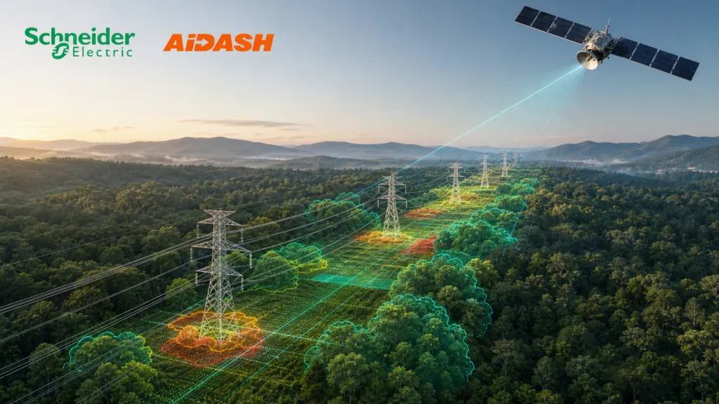
Schneider Electric has agreed to acquire AiDASH, the satellite and artificial intelligence company helping utilities monitor vegetation, wildfire exposure and other risks across their networks.
Schneider’s half-year disclosure values the transaction at approximately $350 million in cash. Completion remains subject to regulatory approval and other customary conditions.
The deal moves a long-standing partnership into full ownership—and shows how satellite-derived intelligence is becoming part of core utility operations.
From investment to acquisition
Schneider Electric was not the first major utility investor to validate AiDASH’s approach.
At the end of 2020, AiDASH secured $6 million in Series A funding from National Grid Partners, National Grid’s investment and innovation arm. National Grid described AiDASH as using satellite imagery and AI to protect electricity networks from vegetation that could cause outages or fires.
As Geoawesome reported in its analysis of integrated vegetation management, National Grid subsequently tested the technology on four electrical circuits.
The pilot combined historical satellite imagery with utility GIS data. AiDASH’s models identified vegetation, measured changes over time and predicted where individual sections of the network would require clearance.
Field checks reportedly found prediction accuracy of between 83% and 100%, depending on the circuit. National Grid estimated that the approach could reduce operational costs by up to 12%. These were pilot findings reported by the organizations involved, not independent benchmarks.
Schneider Electric’s venture arm invested another $10 million in AiDASH in 2022. The companies launched a joint grid-resilience offering the following year, combining AiDASH’s vegetation and climate-risk analysis with Schneider’s grid and asset-management systems.
More recently, AiDASH became part of Schneider’s One Digital Grid ecosystem. A demonstration announced for DTECH 2026 combined AiDASH intelligence with Schneider’s grid software, Microsoft’s agentic AI and other wildfire and infrastructure technologies.
The acquisition therefore looks less like an experiment and more like the final stage of a six-year process of investment, testing and integration.
Why Schneider wants AiDASH
Utilities manage thousands of kilometres of infrastructure, often across remote or difficult terrain. Maintenance has traditionally depended on fixed inspection cycles, field crews and incomplete records.
AiDASH promises a more dynamic approach: monitor large networks remotely, identify changing conditions and direct crews toward the locations presenting the highest risk.
Schneider could connect these insights with its GIS applications, digital twins, asset-management systems and control-room software. In theory, a vegetation alert could move from satellite observation to risk analysis, operational planning and field action within one environment.
This is the deal’s strongest strategic argument. Earth observation becomes part of an operational workflow instead of remaining a separate map or analytical product.
The integration question
Supporters see the acquisition as validation for climate-adaptation technology. AiDASH gains access to Schneider’s international sales network, utility customers and operational software.
The concern is whether integration will reduce AiDASH’s independence. Utilities usually operate mixed technology environments, so remote-sensing intelligence must work with different GIS, asset and control systems.
Schneider describes One Digital Grid as an open ecosystem. Customers will now watch whether that openness continues when one of its important intelligence providers becomes an internal product.
The technology also has practical limits. Satellite revisit frequency, cloud cover, image resolution and model accuracy can affect what the system detects. Vegetation risk is not the same as failure probability, and automated recommendations need to remain explainable to engineers and regulators.
Schneider is not simply buying satellite analysis. It is acquiring a geospatial decision layer for infrastructure management. Success will depend on keeping that layer interoperable, transparent and useful outside controlled demonstrations.
Sources: Schneider Electric’s official disclosure, National Grid’s 2020 investment announcement, and Schneider’s 2026 grid-platform announcement.


