FOSS4G:UK 2026: Registration, Call for Talks and Sponsorship Are Now Open

Join the UK’s open source geospatial community in Leeds on 12–13 October 2026.
FOSS4G:UK returns to Horizon Leeds this October for two days of inspiring talks, practical workshops, networking and collaboration. Whether you’re a developer, researcher, consultant, public sector professional, student or enthusiastic user of open source geospatial technology, there’s something for you at FOSS4G:UK.
From discovering the latest projects and technologies to meeting the people behind them, FOSS4G:UK is where the UK open geospatial community comes together.
Register Today
Registration is now open, with ticket options to suit everyone.
- Early Bird two-day tickets are available until 31 July (or until sold out).
- Single-day tickets are available if you can only attend one day.
- Discounted tickets are offered to help make the conference accessible to students, under-represented groups, people on lower incomes and anyone for whom the full ticket price would otherwise be a barrier.
- Conference social tickets are available even if you’re not attending the conference itself.
Share Your Knowledge
The FOSS4G:UK agenda is created by the community, and we’d love you to be part of it.
We’re looking for submissions in three formats:
- Hands-on workshops
- 20-minute conference talks
- 5-minute lightning talks
Whether you’re demonstrating open source tools, presenting research, sharing lessons learned or showcasing an exciting project, we want to hear your story.
Never spoken at a conference before? Don’t let that stop you. FOSS4G:UK has a long tradition of welcoming and supporting first-time speakers.
The Call for Talks closes on 31 July.
Become a Sponsor
Support one of the UK’s leading open source geospatial events while raising your organisation’s profile.
We’re currently looking for:
- Gold Sponsors
- Silver Sponsors
- Two exclusive sponsors for the conference social event
Sponsoring FOSS4G:UK puts your organisation in front of an engaged audience of developers, consultants, researchers, practitioners and decision-makers who are passionate about open technologies.
A Community Event
“FOSS4G:UK has always been about bringing people together to share knowledge, collaborate and strengthen the open geospatial community. Whether you’re attending for the first time, presenting your work or supporting the event as a sponsor, every contribution helps make the conference what it is. It’s very exciting to be involved in putting this event on, and we’re looking forward to welcoming both familiar faces and newcomers to Leeds this October.”
— Alastair, on behalf of the FOSS4G:UK 2026 Organising Committee
Why People Keep Coming Back
Last year’s event (FOSS4G:UK 2025) received fantastic feedback from across the community. Some of what we received includes:
“Fantastic event, thanks for organising!”
“It was beyond my expectations and really enjoyable.”
“The openness of the presenters and attendees is excellent, and the networking is invaluable.”
“Great engagement from speakers, sponsors and delegates made for a lot of interaction, learning and excitement.”
“Very happy to see lots of new faces and first-time presenters.”
“Fantastic, would definitely come again.”
We’re building on that success to make FOSS4G:UK 2026 even better.
Did you like this post? Read more and subscribe to our monthly newsletter!



#Events


Next article

Google just made Google Earth way more fun for all of us! You can now generate AI images directly on top of real‑world locations using Nano Banana 2. Zoom to a place, hit “create image,” type a prompt – and Earth transforms into a creative canvas for maps, cities, and futures.
What makes this #geoawesome is the combination of grounded geography and wild imagination. You’re not starting from a blank canvas: you’re remixing satellite, aerial and 3D Earth scenes into historic reconstructions, speculative futures, and playful urban utopias.
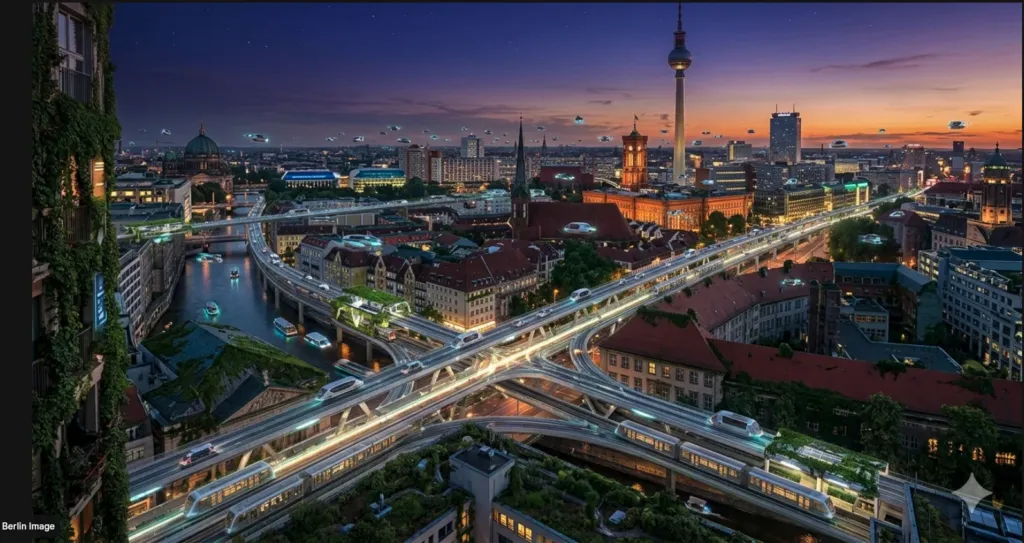
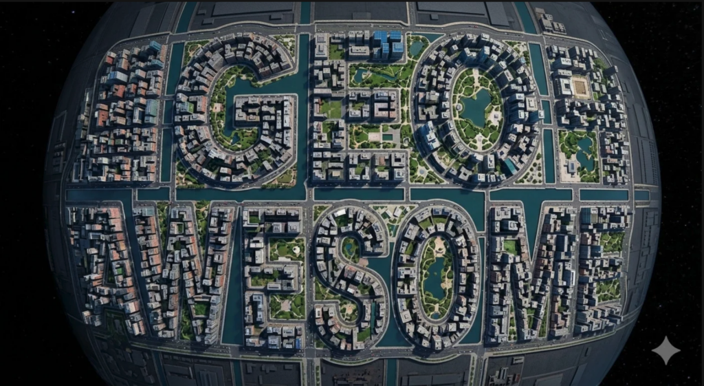
Of course, my first instinct was to see if I could get Earth + Nano Banana to spell “GEOAWESOME” directly from a satellite view – turning buildings, streets and green spaces into giant letterforms for our community name.
Right after that, I jumped into a Berlin future vision:
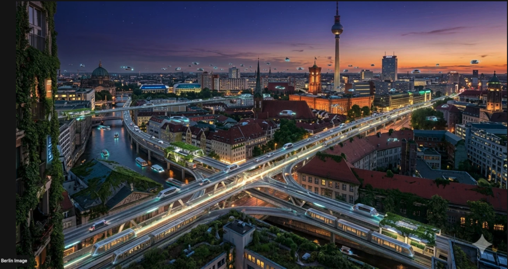
Transform central Berlin into a luminous mobility utopia with glowing elevated U‑Bahn tracks, flying transport pods gliding between stations and cascading ivy and wild vines wrapped around buildings, ultra‑detailed, dusk lighting, viewed from a high oblique angle.
For the Geoawesome community, this unlocks rapid visual sketching for planning workshops, climate adaptation stories, education, and just pure creative exploration. You can prototype ideas in context, share before/after views, and let people literally see what “what if?” looks like at the neighborhood or city scale.
In short: Google Earth is no longer just a place to look at the world, it’s becoming a place to reimagine it. That’s peak #geoawesome.
You can read Google’s full announcement and get started with Earth + Nano Banana here:
Transform any place with Nano Banana in Google Earth

