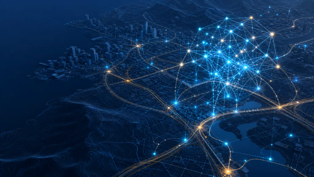

HERE Technologies and Esri have announced a three-year agreement to jointly develop location analytics and visualization capabilities for artificial intelligence applications.
Unveiled at the 2026 Esri User Conference, the agreement combines HERE’s mapping, traffic and mobility data with Esri’s ArcGIS platform. The companies say the resulting capabilities will allow engineering teams and AI systems to analyze live and historical location information.
The collaboration extends a relationship lasting more than 20 years. What makes this phase noteworthy is its explicit focus on AI agents—not simply analysts working with maps and dashboards.
Giving AI systems spatial context
Generative AI can process enormous amounts of text, but operating in the physical world requires an understanding of where things are, how places connect and how conditions change over time.
A logistics agent cannot recommend a dependable route based only on an address. It may need current traffic, vehicle restrictions, historical travel patterns and an authoritative road network. An infrastructure agent may need to connect asset records with environmental conditions, nearby construction and access routes.
HERE brings frequently updated map and mobility content, while ArcGIS provides technology for managing, analyzing and visualizing spatial information. According to the announcement, the planned capabilities will support reporting, decision-making and agentic workflows across several industries.
Reliability matters more than fluency
The partnership points toward a broader shift: geospatial information is becoming context that software agents can query and potentially act upon.
That creates opportunities in transportation, logistics, public services, insurance and infrastructure management. But access to spatial data alone does not make an AI system trustworthy.
An agent must know when data was collected, what it represents, how accurate it is and whether it is suitable for a particular decision. Live traffic data and historical mobility patterns may be highly useful for route planning, for example, but inappropriate for conclusions they were never designed to support.
This makes provenance, temporal accuracy and human oversight as important as the AI interface itself. Spatially fluent answers can still be wrong if an agent uses outdated maps, combines incompatible datasets or misunderstands geographic scale.
The announcement leaves several practical questions unanswered. The companies have not yet provided a detailed release schedule, pricing structure or complete technical architecture. It is also unclear how organizations will audit agent decisions or control access to sensitive location information.
The significance of the agreement therefore lies less in another promise to “add AI” to GIS. HERE and Esri are positioning authoritative location data and spatial analytics as grounding infrastructure for AI systems.
Whether that produces genuine operational value will depend on something less fashionable but more important: making every automated conclusion traceable to reliable spatial evidence.



#GeoAI
Next article
The EU Put a 24-Hour Delay on Copernicus Data. Open Earth Observation Just Became Conditional
A 24-hour delay may not sound like much. For Earth observation, it can change the role of satellite data completely.
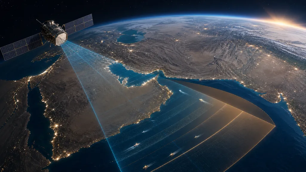
In July 2026, the European Union decided to delay the release of Sentinel-1 and Sentinel-2 data covering part of the Sea of Oman. The restriction was introduced after a request from the United States and was justified on security grounds.
The data is still available. This is not a full blackout. But users cannot access it until 24 hours after acquisition.
That difference matters. Imagery that might help track an unfolding situation becomes a record of what happened yesterday.
The decision is limited to one region and two Sentinel missions. Yet it raises a much larger question for the geospatial industry: how open is open Earth observation data when security interests enter the picture?
What has been confirmed
The legal basis is Council Decision 2026/1716, adopted on July 13 and published on July 14, 2026.
The decision instructs the European Commission to delay Sentinel-1 and Sentinel-2 data concerning a specific area in the Sea of Oman for 24 hours from acquisition.
According to the document:
- US authorities requested the restriction on May 26.
- The request went through the EU Space Threat Response Architecture.
- The EU Political and Security Committee supported the measure on June 10.
- The stated goal is to stop EU space data from being used in ways that could threaten the EU, its member states or their allies.
- The European Commission is responsible for implementing the restriction.
The Commission later told Euractiv that the measure would remain in place for as long as necessary.
This is the official explanation. The public documents do not provide evidence that Sentinel data had already been used to threaten European or allied operations.
They also leave several important questions unanswered.
The exact boundary of the restricted area has not been published. There is no public end date, review date or clear description of what would cause the restriction to be removed. It is also unclear whether similar requests have been approved before.
Why Sentinel data matters in this region
Sentinel-1 carries a synthetic aperture radar instrument. It can observe the surface during the day or at night and through cloud cover. This makes it useful for detecting ships, changes to infrastructure and unusual activity at sea.
Sentinel-2 provides optical imagery that can add visual context when the sky is clear.
Together, these missions support maritime monitoring, journalism, academic research, environmental analysis and open-source investigations.
The Sea of Oman is also the entrance to the Strait of Hormuz, one of the world’s most important shipping routes. Timely imagery from this area can help analysts examine vessel movements, port activity and changes around coastal infrastructure.
Recent research has demonstrated how Sentinel-1 can be used to study changes in shipping around the Strait of Hormuz without depending entirely on cooperative ship-tracking signals.
Open-source investigators have also shown what radar data can reveal during conflict. Bellingcat developed a tool based on Sentinel-1 to identify possible damage in Iran and the Gulf. The method does not provide the detail of very high-resolution commercial imagery, but it can show significant changes across large areas.
This is why the 24-hour rule is meaningful. It reduces the value of Copernicus for monitoring fast events, while preserving its value for later analysis and documentation.
A delay, not a blackout
There is a valid security argument for delaying sensitive imagery.
Satellite data can reveal the location of ships, temporary infrastructure, logistical activity or changes near military sites. Even medium-resolution data can become more useful when combined with ship signals, social media, drone footage and other sources.
A delay can limit this immediate value without permanently removing the public record.
Alexander Gunkel, CEO of Space4Good, described this tension well in a LinkedIn discussion. Open imagery supports researchers, journalists and civil society, but during a conflict it can also expose movements and vulnerabilities. From this perspective, 24 hours may separate operational intelligence from historical evidence.
This is probably the strongest argument in support of the EU decision.
It is also less restrictive than some measures applied to commercial imagery during the Iran conflict. Planet and Vantor restricted access to selected high-resolution images, according to reporting by The Washington Post and Ars Technica.
The Copernicus data will still appear after the delay. Researchers will still be able to study it. Journalists will still be able to use it to verify past events.
But calling the measure limited does not answer the governance questions around it.
Open data was never without security rules
Copernicus is built around free, full and open access. However, this principle has always included security exceptions.
The EU Space Programme Regulation requires Copernicus to follow an open data policy while taking security needs into account.
The more detailed Copernicus data restriction rules allow the Commission to limit access when the security of the EU or its member states could be affected. They also say that restrictions should interrupt data access as little as possible.
Legally, the EU appears to be acting within an existing framework.
What is new is the visibility of that framework.
For most users, Copernicus has functioned as dependable public infrastructure. Data arrives, platforms process it and applications are built on top of it. Security exceptions may exist in the legal text, but they rarely enter everyday product planning.
This decision makes those exceptions real.
The industry risk is larger than one missing day
Aravind Ravichandran, founder of TerraWatch, raised the business side of the issue in his LinkedIn commentary.
His main point was not that the EU lacks the right to restrict access. It was that the limits remain unclear. How long can a restriction continue? What criteria are used? Who can request one? What level of evidence is required?
For companies building services on Copernicus data, these are not abstract policy questions.
A maritime intelligence service, automated monitoring platform or GeoAI agent may assume that Sentinel data will be available on a predictable schedule. If access can change during the exact events that create the greatest demand, the product needs a fallback.
This could mean adding commercial data, using more than one public satellite program, keeping older observations available locally or clearly warning customers that real-time coverage is not guaranteed.
The official Copernicus Data Space documentation gives an expected publication time of up to 24 hours for Sentinel-1 and Sentinel-2 products. In practice, data can arrive much faster. A previous Copernicus Data Space annual report reported average Sentinel-1 publication in less than three hours during most of 2023.
The new rule sets a minimum 24-hour wait from acquisition in the affected area. For users accustomed to receiving data within a few hours, that is a clear operational change.
Transparency is the weak point
The public discussion is divided, but not simply between people who support security and people who support open data.
Andrzej Kotarski of the Polish Astronautical Society noted on LinkedIn that the decision does not say when the restriction took effect or when it will be reviewed.
Reddit discussions in r/technology and r/europe show a similar split.
Some participants see 24 hours as a reasonable safety measure that can protect current operations. Others worry that an open-ended restriction requested by another government creates a precedent for reducing public visibility during conflict.
These are opinions, not proof of either harm or safety. But they point to a real gap in the EU’s approach.
A security exception can be both justified and poorly explained.
The EU could reduce uncertainty by publishing the general boundary of the affected area, the date the measure became active, a review schedule and basic information about how necessity is tested. It could do this without revealing sensitive operational details.
Independent oversight would also help. If access to public satellite infrastructure is restricted, users should know that someone outside the immediate security process can review whether the measure remains necessary and proportionate.
The bigger lesson for Earth observation
The most important outcome of this decision is not the loss of 24 hours of imagery over one part of the Sea of Oman.
It is the recognition that open satellite data is conditional infrastructure.
Copernicus remains one of the strongest open Earth observation programs in the world. This decision does not change that overnight. It does show that access can be adjusted when political and security pressure is high.
That creates three lessons for the industry.
First, open data users need contingency plans. A free and dependable source can still have regional or temporary limits.
Second, Europe needs clearer public rules for applying security exceptions. Trust depends not only on whether restrictions are legal, but also on whether they are narrow, reviewed and explained.
Third, the geospatial industry must take part in this discussion. The rules should not be shaped only by defence officials or satellite operators. Researchers, journalists, downstream companies, civil society groups and open-source investigators are also affected.
The EU has chosen a middle path. It did not permanently remove the data, but it did remove much of its immediate value.
Whether this remains a narrow exception or becomes a model for future restrictions will matter far beyond the Sea of Oman.


