#Insights
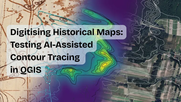
Digitising Historical Maps: Testing AI-Assisted Contour Tracing in QGIS
Case Study | AI-Assisted Tools | QGIS | ArchaeoTrace | Plugin
Can an AI-assisted QGIS plugin actually speed up contour digitising, or does it just move the work around? We tested it on a small sa…

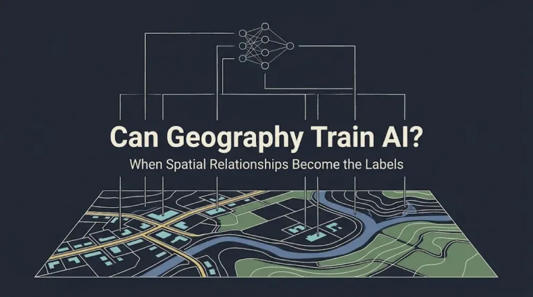
Can Geography Train AI? When Spatial Relationships Become the Labels
Most GeoAI models still depend on prepared training data. A building detector needs building footprints. A road model needs road centerlines. A land-cover model needs pixel classes. A vision-language …











Search

