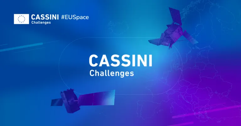
CASSINI Challenges: Europe’s Space Entrepreneurship Competition
For decades, space was the playground of big organisations be it government agencies with bottomless budgets or massive aerospace corporations. Today, the space sector is much more dynamic and the mos…

Videos
Expert Reviews MOVIE MAPS
Scaling Change Detection: Why tasking is a thing of the past | Problem Solved | Geoawesome Podcast
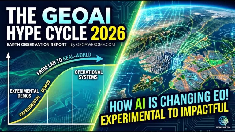
GeoAI Hype Cycle 2026 What’s Real, What’s Next in AI Powered Earth Observation
TW Landsat 9 – More Than Just A Picture
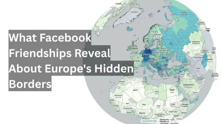
Mapping human well-being and development at the local level

GeoAI: The new frontier of Financial intelligence | GIST Impact | AI & Geospatial Dialogue
The latest


Events
Next Event
08.30.2026
FOSS4G 2026
Podcasts
All PodcastsToday’s Featured


More Stories


Search