#Fun
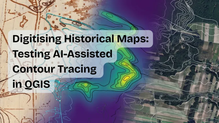
Digitising Historical Maps: Testing AI-Assisted Contour Tracing in QGIS
Case Study | AI-Assisted Tools | QGIS | ArchaeoTrace | Plugin
Can an AI-assisted QGIS plugin actually speed up contour digitising, or does it just move the work around? We tested it on a small sa…

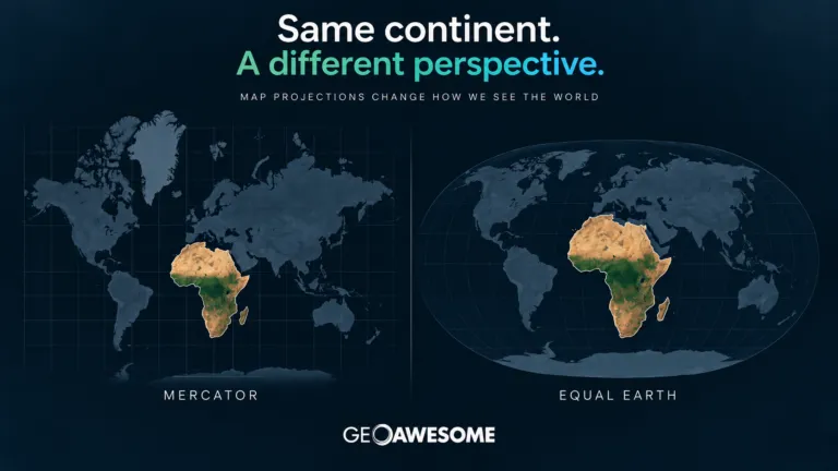
The UN Wants to “Correct the Map.” What Does It Mean for the Geospatial Industry?
The UN wants to “correct the map.” Explore Mercator vs. Equal Earth and what the projection debate means for cartography, GIS, and the geospatial industry.

The UN wants to “correct the map.” Explore Mercator vs. Equal Earth and what the projection debate means for cartography, GIS, and the geospatial industry.







Search

