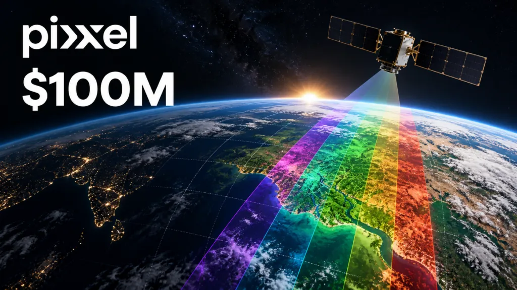

Pixxel has raised $100 million to evolve from a hyperspectral satellite operator into a vertically integrated Earth intelligence company.
The Series C was co-led by Temasek and Seraphim Space, with participation from 360 ONE Asset, IMM Investment, Radical Ventures, growX ventures and M&G Catalyst. It brings Pixxel’s disclosed funding to $195 million and, according to the company and Reuters reporting, is the largest individual funding round raised by an Indian space technology company.
The strategic significance is not simply that Pixxel can launch more satellites. The company plans to combine hyperspectral imaging, radar, high-resolution optical data, AI-assisted analysis, sovereign observation systems and satellite manufacturing. If successful, Pixxel could control much more of the journey from collecting an image to delivering an operational decision.
From hyperspectral imagery to intelligence
Pixxel already operates six Firefly satellites. Their technical capabilities are documented through NASA’s Commercial Satellite Data Acquisition program.
Firefly collects data in 135 visible and near-infrared bands between 470 and 900 nanometres. NASA lists a ground sample distance of 5.36 metres, a 40-kilometre swath and a nominal revisit time of one to two days, depending on latitude.
This combination allows users to examine material and chemical differences that conventional optical imagery may not reveal. Potential applications include vegetation monitoring, mineral exploration, water-quality assessment and industrial surveillance.
Pixxel has also entered important government procurement channels. NASA has acquired its commercial datasets, while the US National Reconnaissance Office awarded Pixxel a contract to evaluate hyperspectral data alongside other commercial sources. The NRO confirmed the award, but its value has not been disclosed.
These relationships establish technical credibility. They do not yet demonstrate the scale of recurring commercial demand.
What the new funding is expected to build
Pixxel says the capital will finance its next-generation Honeybee constellation, extending its spectral coverage into shortwave infrared. The first Honeybee satellite is planned for 2027.
SWIR would allow Pixxel to identify additional minerals, chemicals, moisture conditions and industrial materials that Firefly’s present VNIR instruments cannot observe.
The company also plans to add synthetic aperture radar and ultra-high-resolution optical capabilities. These sensors could complement hyperspectral data by providing all-weather observation and more detailed visual context.
Aurora, Pixxel’s software platform, is intended to connect these datasets and convert them into analysis, alerts and recommendations. The platform already has published interfaces for archive access and satellite tasking, but Pixxel has not disclosed adoption, recurring software revenue or customer-retention figures.
This distinction is important. Firefly is operational. Honeybee, Pixxel-operated radar satellites and ultra-high-resolution optical imaging remain planned capabilities. The integrated intelligence stack is a credible strategy, but it is not yet a fully deployed system.
Why owning the software layer matters
Hyperspectral imagery has a usability problem. Its data contains more information than conventional imagery, but processing it requires specialist knowledge.
Most customers do not want complex spectral data cubes. A mining company wants potential mineral targets. An agricultural business wants early warnings of crop stress. A regulator wants to know when an emission or water-quality indicator has changed.
Aurora could therefore become more important to Pixxel’s economics than any individual satellite. By connecting imagery ordering, processing, machine-learning models and alerts, Pixxel can try to sell recurring intelligence rather than individual scenes.
Integrating radar and optical imagery follows the same logic. No single sensor works for every observation problem. A combined workflow can provide richer and more reliable answers.
The risk is that Pixxel is entering several difficult markets simultaneously. Operating multiple satellite constellations, developing analytics software, manufacturing spacecraft and delivering sovereign systems all require different capabilities and considerable capital.
Pixxel’s competitive position
Pixxel is not the only commercial hyperspectral operator.
Planet’s Tanager satellites observe from 400 to 2,500 nanometres across 424 bands, but at 30-metre resolution. The system is particularly focused on methane and industrial emissions monitoring. Its published specifications illustrate the market’s trade-off between spectral coverage and spatial detail.
Orbital Sidekick focuses on energy infrastructure, pipelines, defence and industrial applications. Wyvern is developing imagery services at approximately five-metre resolution, while Kuva Space is pursuing subscription-based monitoring at a broader landscape scale.
Pixxel’s current advantage is the spatial resolution of Firefly combined with broad hyperspectral coverage. Honeybee could strengthen that position by adding SWIR at approximately five-metre resolution. Until calibrated imagery becomes available, however, this remains a prospective advantage.
Sovereign systems could drive growth
Pixxel also leads an Indian consortium selected to build and operate a 12-satellite national constellation. The planned system includes high-resolution optical, multispectral, hyperspectral and X-band radar satellites.
The Indian government says the consortium will invest more than ₹1,200 crore, manufacture the satellites domestically and target operations by 2029.
This could move Pixxel beyond data sales and into complete national Earth observation systems. Governments increasingly want dedicated sensing capacity, domestic control and integrated analytics, making sovereign intelligence one of the strongest growth areas in commercial EO.
Pixxel now has the capital, operational satellites and government relationships required to pursue that opportunity. The next test is commercialization.
Investors and customers should watch for revenue growth, repeat imagery purchases, named Aurora deployments, contract values and evidence that Pixxel’s analysis improves real decisions. The company has shown that it can build and launch differentiated sensors. It must now prove that its expanding stack can become a repeatable global business.



#Business
Next article

Overture Maps Foundation’s latest release is easy to describe as another increase in address points, transport features and physical geography. The more consequential story, however, is how Overture is turning open map data into governed infrastructure that software, and increasingly AI agents, can consume predictably.
Published on August 19, release 2026-08-19.0 uses schema version 1.18.0 and distributes its datasets through GeoParquet, PMTiles and cloud-hosted registries. Overture’s base, buildings, divisions, places and transportation themes are considered generally available, while addresses remain alpha. The complete release notes are available here.
The release contains approximately 472.8 million candidate address records. Overture refreshed data from Fresno County and Statistics Canada, adding richer attributes, and incorporated several thousand records from Land Information New Zealand and Italy’s ICAR system.
Its base dataset also expanded. Infrastructure features increased by 1.8% to approximately 155.5 million, while land features grew by 1.6% to 75.6 million. Peaks, ridges, saddles, mountain ranges and volcanoes all increased, although the official notes do not support the previously circulated claim that exactly 131,189 mountain landforms were added.
Transportation changes include more parking facilities, parking spaces, bicycle parking, bus stops and stop positions. The release also added nearly 497,000 TomTom road segments and around 1.3 million OpenStreetMap segments, alongside improvements to attributes such as road surface, class and access restrictions.
Yet raw feature growth is not the best measure of the release.
Overture’s building count actually fell by 0.6%, to approximately 2.53 billion, despite millions of new Microsoft and OpenStreetMap contributions. Its places dataset also declined by 0.8%, even as BrightQuery and AllThePlaces supplied additional records.
Those reductions do not necessarily mean coverage deteriorated. They illustrate that conflation, deduplication, filtering and quality controls can matter more than simply accumulating objects. That is especially important for machine-driven applications, where duplicate or contradictory features can be more damaging than a slightly smaller dataset.
The release also advances an important schema transition. Overture has deprecated the broad categories field and will remove it in September, replacing it with basic_category and taxonomy. Developers have one transition release in which both representations are available.
This is the kind of change that determines whether an open dataset functions as dependable infrastructure. Stable identifiers, documented schemas and predictable migration paths are essential when map data feeds analytics pipelines, digital twins or the emerging class of machine-oriented maps.
The release notes also contain an unusually useful disclosure: an August changelog incorrectly classified 60,060 bathymetry features as newly added, when the correct number was zero. Publishing the correction strengthens transparency, but it also shows why downstream teams should validate machine-readable changes rather than treating release summaries as unquestionable truth.
Overture says its data is already being used by Microsoft, Esri, Meta, Uber and other members. In a Foundation case study, Microsoft reports that replacing an existing buildings layer with Overture improved address accuracy by several percentage points and shortened some map-production cycles from months to weeks. These remain company-reported results rather than independently audited benchmarks. Microsoft’s case study and Overture’s Esri User Conference report nevertheless offer evidence that the project is moving beyond experimental downloads.
Practitioner questions on Overture’s public GitHub forum continue to focus on confidence values, category decisions, changes in feature locations and practical data access. There was little substantive independent discussion of this exact release, suggesting adoption evidence still lags the Foundation’s technical progress.
As Geoawesome has previously explored in its discussion of Overture’s purpose and the relationship between Google Maps and OpenStreetMap, competition in mapping is no longer only about who possesses the most features. It is increasingly about who can provide reliable, interoperable and continuously governed spatial infrastructure.
Overture’s August release is another step in that direction, less a dramatic map update than an indication of how open maps are being prepared for machines.


