TERI launches Open-source Web-GIS Tool for estimating Rooftop Solar Power potential
The last decade has been as much as about sustainable development as it is been about technology and innovation. With increasing industrialization and mechanization of the planet, the need for energy has only skyrocketed. Sustainable energy resources – solar, wind and ocean tides are increasingly being looked at as the energy of the future.
A few years ago, I was an entrepreneur in the solar energy domain and had this question in mind “Can I utilize geospatial technology for improving energy generation” and the answer was obvious and significant – YES it is possible and already a lot of companies are exploring it! ESRI’s solar radiation analysis tool was an option that I was always aware of but What about Open source options?
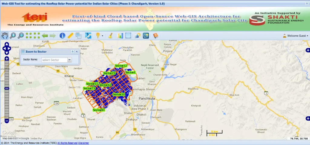
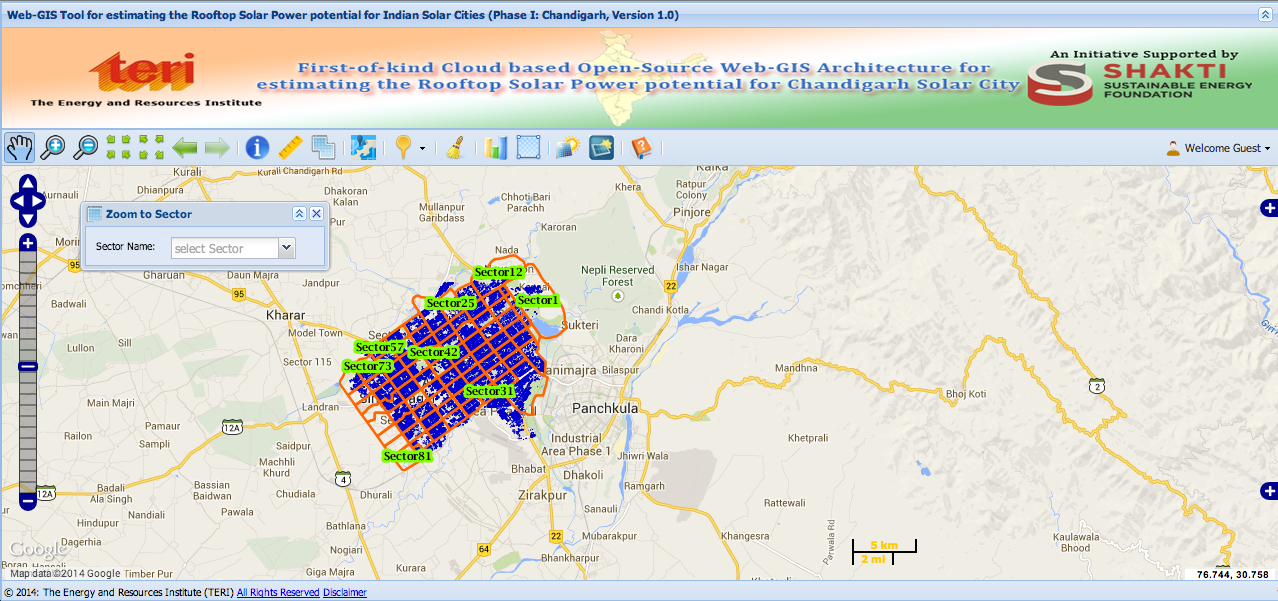
The Energy and Resources Institute (TERI) has released the first-ever cloud based Open-source Web-GIS tool for estimating rooftop solar power potential for Indian cities. TERI’s latest tool is significant not only because it is open-source thereby enabling many companies and startups to utilize it for planning solar panel installations but this tool I believe will immensely benefit individual users to understand the potential of their roof-tops thereby accelerating the adoption of solar energy. One of the primary challenges in any industry is to convince someone of the benefits of their product, with this tool an individual in India would be able to understand how much he/she can save in their energy bills if they have a solar panel on their roofs. As an entrepreneur, this surely is a real blessing!

At this moment, solar energy potential is only available for the city of Chandigarh, India and TERI plans to roll it out for more cities in the future. This tool is part of the Renewable Energy Geo-Spatial Gateway of India. Totally recommend their website for more information on how geospatial tech can be used in renewable energy. They have loads of interesting articles and projects lined up! The official release regarding the Web-GIS tool – here.


