#Science

Tech for Earth: Explaining the Planet, On the Ground and in Orbit
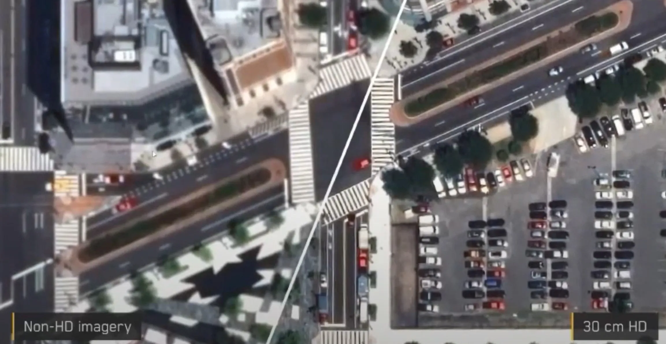
This spring the foundation models that interpret satellite imagery stopped being a research curiosity. Earth Index opened to anyone with a browser, a Google model let analysts map palm oil mills at co…

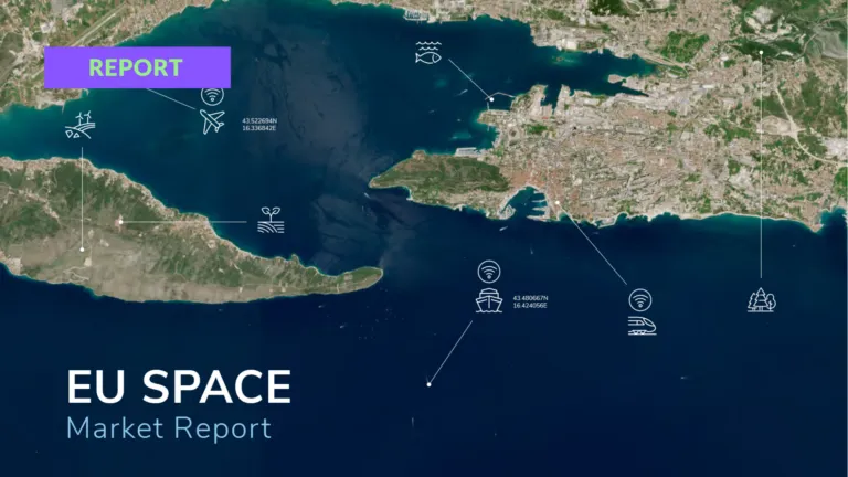
EUSPA launches new EU Space Market Report
EUSPA · 26 May 2026
EUSPA launches new EU Space Market Report
The new edition of the EU Space Market Report was published today. For the first time it brings Global Navigation Satellite Systems …


Search