#Environment
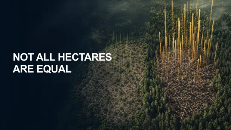
Europe’s Forest-Loss Maps Were Missing the Most Important Variable
A new satellite-based analysis finds that Europe’s forest disturbances are removing much more biomass per affected hectare. The result exposes why mapped area alone is an inadequate measure of carbon impact.

A new satellite-based analysis finds that Europe’s forest disturbances are removing much more biomass per affected hectare. The result exposes why mapped area alone is an inadequate measure of carbon impact.
Tech for Earth: Explaining the Planet, On the Ground and in Orbit
This spring the foundation models that interpret satellite imagery stopped being a research curiosity. Earth Index opened to anyone with a browser, a Google model let analysts map palm oil mills at co…






Search

