The geospatial industry is continuously developing very fast all around the world. The market size is projected to grow rapidly from $239.1B in 2019 to $502B in 2024, at a Compound Annual Growth Rate (CAGR) of 13.2% during this period.
The geospatial industry comprises private and governmental entities that are involved in collecting, storing, processing, analyzing, mapping, and distributing data related to location information. Location-based information is becoming more and more essential in today’s knowledge-driven world. It is used in providing key decision support in fields such as weather forecasting, early weather disasters warning, supply chain management, food production, land titling and administration, transportation network analysis, disease analysis, and battlefield monitoring…
Geospatial data is used daily by millions of people in their everyday routine. Google Maps itself has over 2 billion users. Without this data, our smartphones could not navigate us with the use of digital maps to our destinations. Moreover, geospatial technologies have been identified by the US Department of Labor as one of the three high-growth industries in the 21st century.
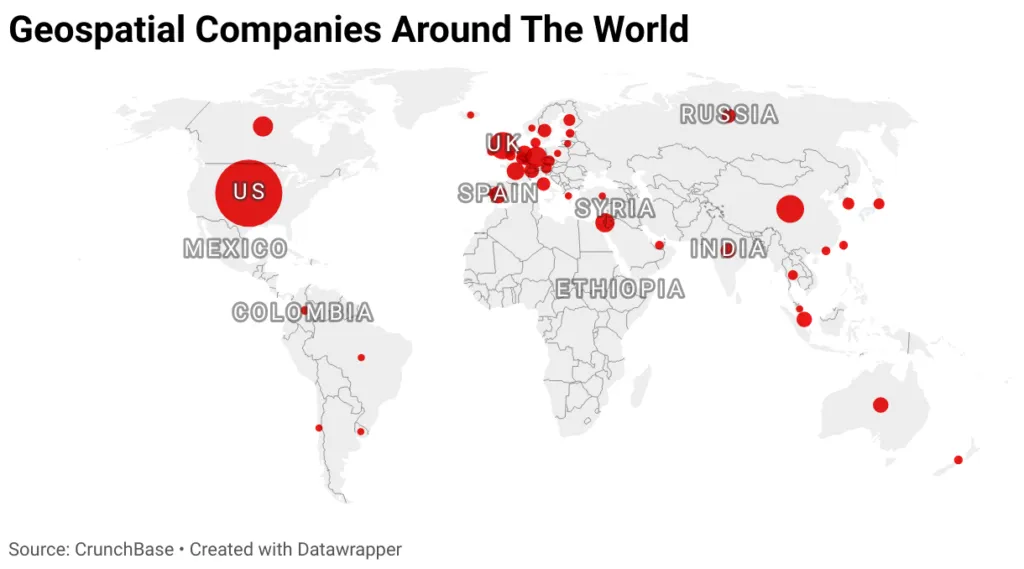
Geospatial Companies Distribution Around The World:
After analyzing the data of 568 active companies founded after the year 2005 in the geospatial industry based on Crunchbase, we found that about 48% of the companies are located in the US where they captured around 57% of the total funding in the industry:
China came in second place, where 7% of the companies are located, and they captured 17% of the total funding of the industry, followed by the UK, Germany, and Canada respectively.
The US lead in this industry is mainly caused by the application of geospatial technologies in various fields and by the exceptional governmental support and recognition of the essential role of this industry in government and society. This support was revealed through the Geospatial Data Act (GDA) that the President signed in 2018. On the other hand, the Asia Pacific geospatial market is expected to continue to outperform the EU market where APAC countries are expected to have exponential market growth, especially in China, South Korea, and India. The tremendous expansion in the urban population in these countries is one of the major factors of this growth that results in escalating the application of smart cities, smart infrastructure, and well-planned urban landscapes. In addition, these countries are witnessing great technological development in the 5G and IOT fields.
Industry Trends:
After analyzing the establishment date of the 568 companies in our database, we realized the massive negative impact of the Covid19 pandemic, which started by the end of 2019, on the establishment of new startups in this industry. In fact, the US was the only country where new companies were launched in the industry in the year 2021. Despite the negative effect of the lockdown on establishing new geospatial companies, the adoption of geospatial analysis has risen in the healthcare sector to monitor the Covid19 outbreak. In addition, our data revealed that the economic crisis between 2009 and 2010 did not significantly affect the industry, especially in the US, mainly due to the continual investment of the US government in the geospatial industry to improve homeland security.
Top 10 Companies by Total Funding:
After specifying the top 10 countries funding geospatial companies in our database, we found that Momenta, which is a Chinese company founded in the year 2016 and is working mainly on AI and Autonomous applications, has the highest funding with about $1203.15088 million. Yet, 7 out of the top 10 companies are American companies, which reveals the domination of the US in this industry. Whereas ISPACE TECHNOLOGIES is a Japanese company, and SATELLOGIC is an Argentinian company.
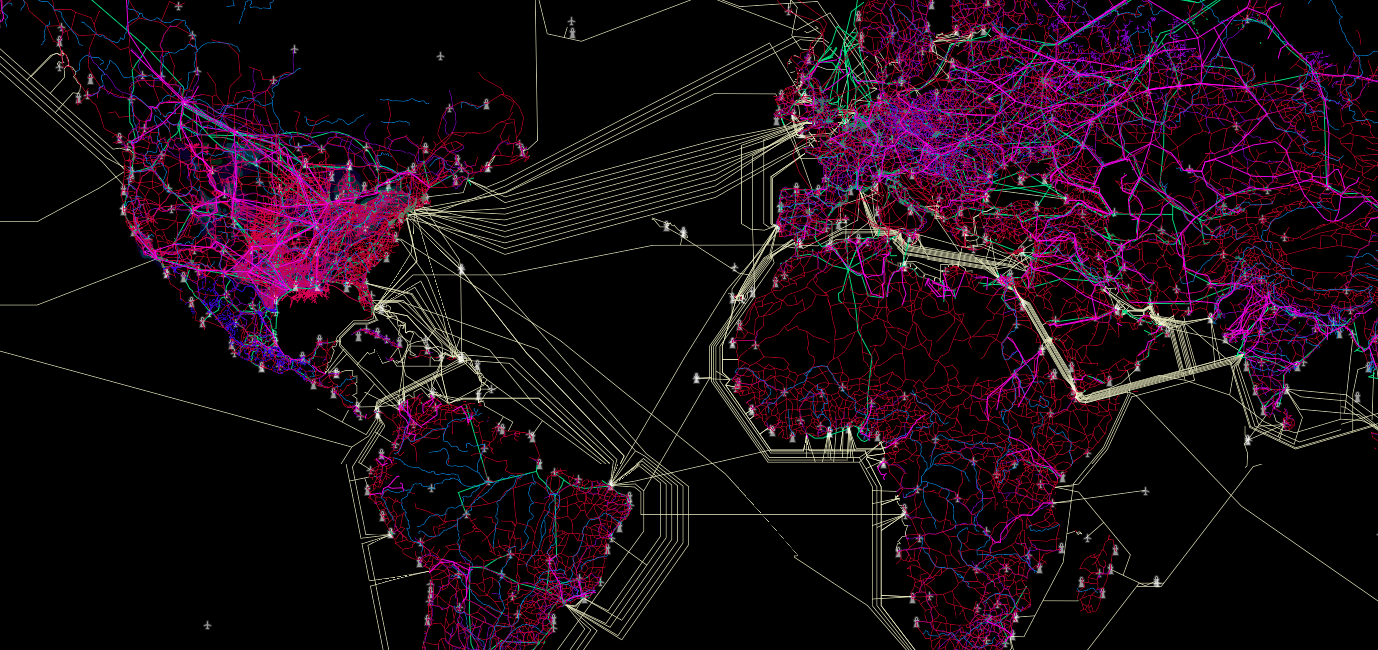
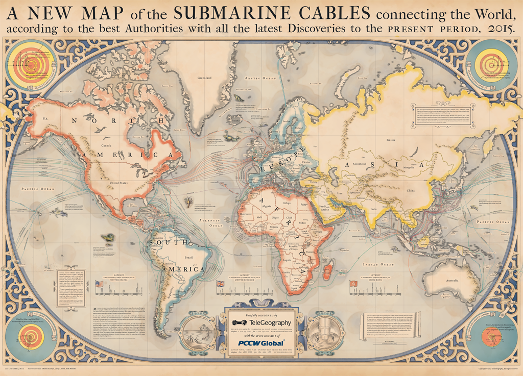
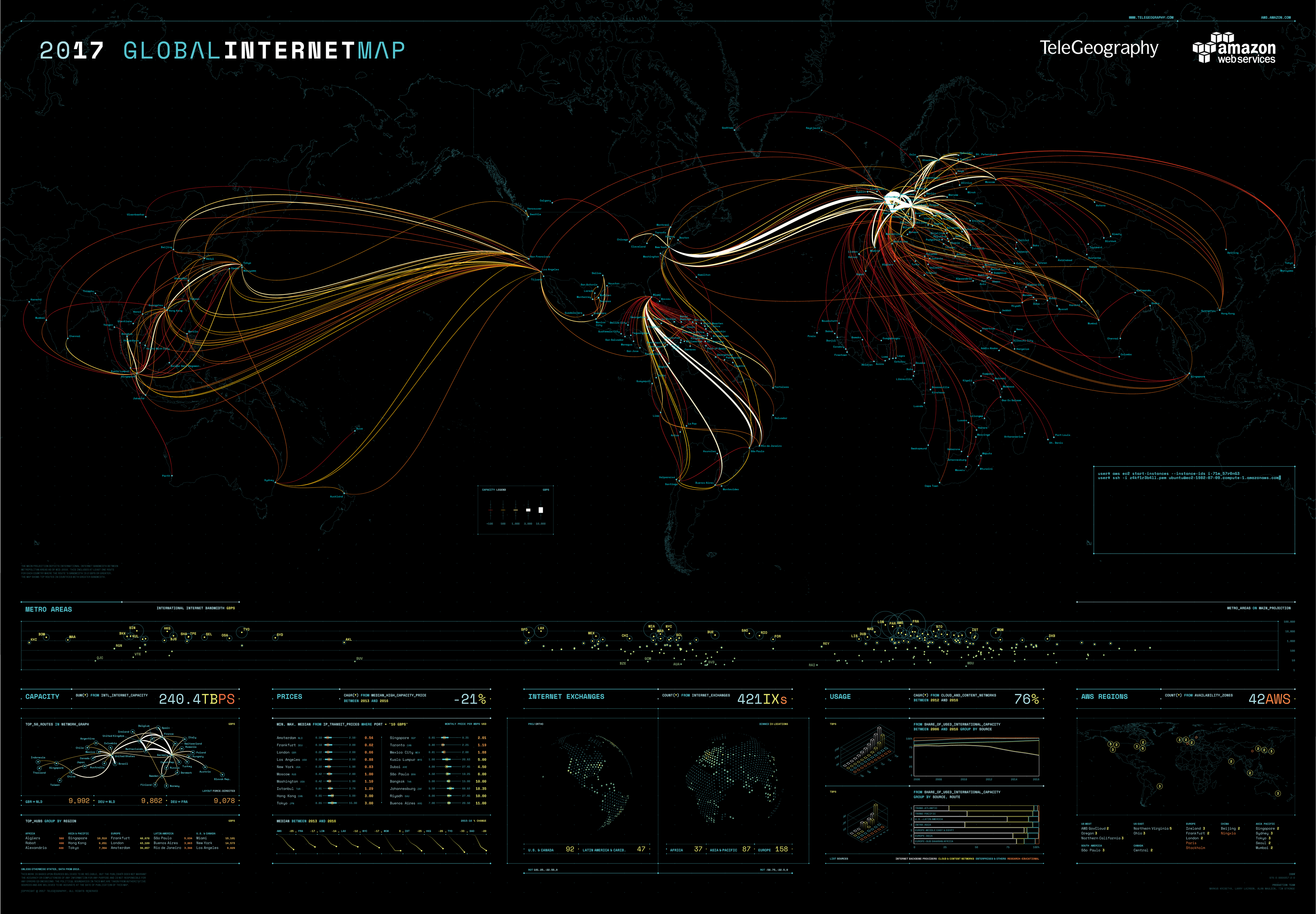 source: TeleGeography


