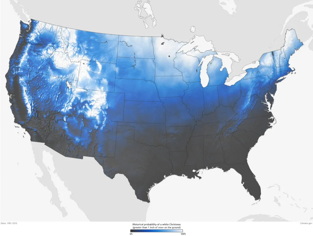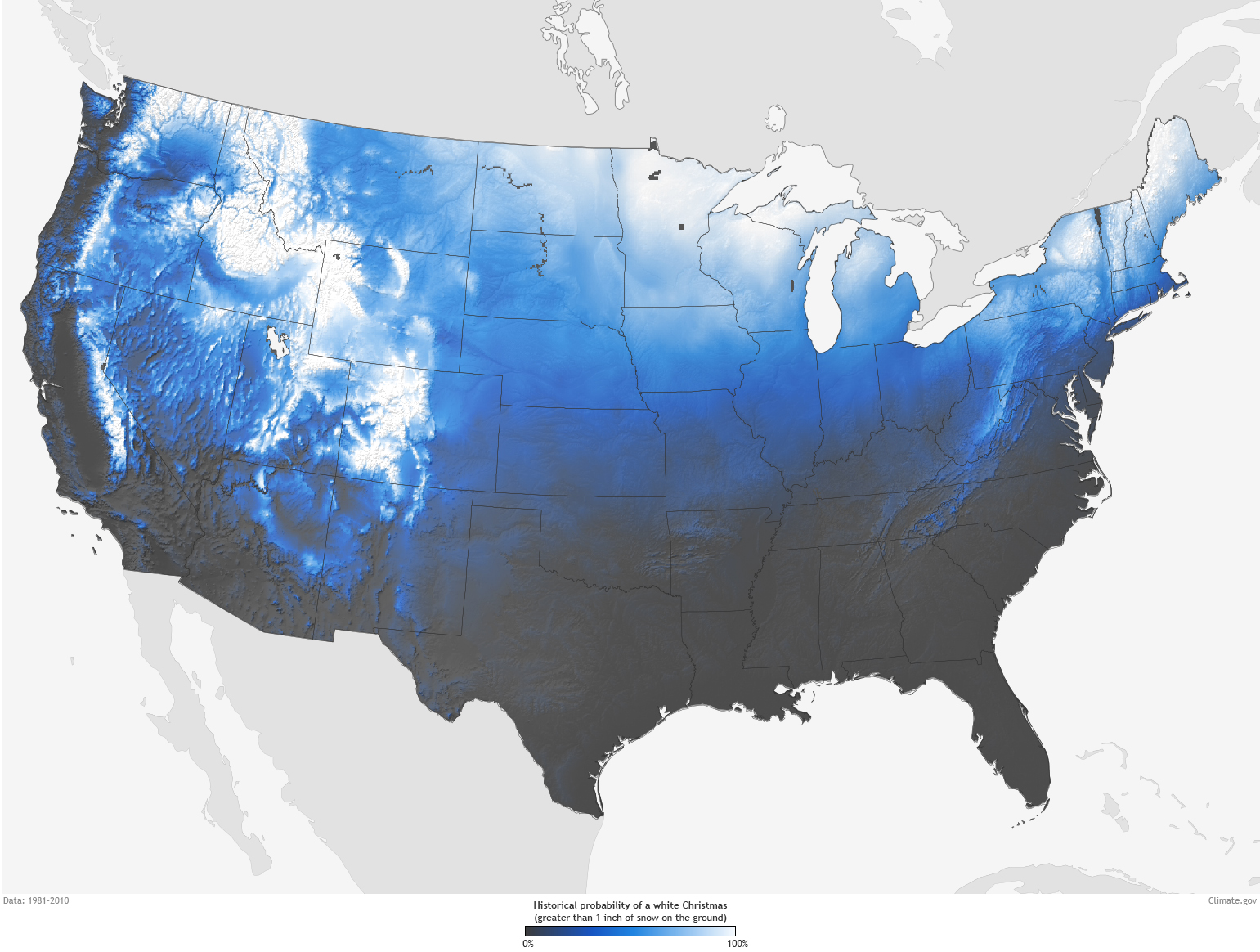
This map shows the probability of your city to have a White Christmas
NOAA created a really cool map which plots probabilities for a White Christmas across the US. The map is based on three decades of climate normals from the National Climatic Data Cebter on a December 25th each year.
According to the data the highest probability of fresh snow during Christmas aside from the West’s mountain ranges, are Maine, upstate New York, Minnesota, West Virginia and Pennsylvania, and Idaho.
The map is based on the 1981–2010 Climate Normals, which are the latest three-decade averages of several climatological measurements including daily and monthly temperature, precipitation, snowfall, frost/freeze dates and much more. The data has been gathered from 9,800 stations operated by NOAA’s National Weather Service. You can actually find the nearest station by using this interactive map or search tool.
Cool map!
source: NOAA


