The PhD thesis that paved the way for GIS
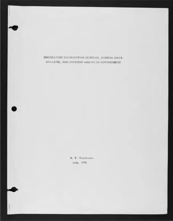
Few Ph.D. theses have ever changed the world in the same world that Roger Tomlinson’s thesis has. Roger Tomlinson, widely considered as the “Father of GIS,” completed his Ph.D. entitled “Geographical Information Systems, Spatial Data Analysis and Decision Making in Government” in 1974 at the Department of Geography, University College London. The thesis was based on his experiences gained during the development of the first Geographic Information System in the world for Canada Land Inventory.
The Ph.D. that paved the way for GIS
Finally, after spending the last four decades on a shelf within the Department of Geography at UCL, the thesis is now available for download here (they also OCRed the thesis, so it’s searchable like normal PDF files).
His Ph.D. thesis together with his pioneering work in creating the Canadian Geographic Information System in the early 1960’s paved the way for GIS and an entire industry that revolves around it today. Dr. Tomlinson’s work together with Dr. Dana Tomlin‘s work on Map Algebra is what makes GIS such a powerful tool. (Related: The story behind the Canadian Geographic Information System). The Ph.D. thesis might be over four decades old, but it is certainly interesting to read it even today! If you are interested, here’s the link to download the “The first thesis in GIS.”


