
AI Super-Resolution in Satellite Imagery: Enhancing Clarity Beyond Native Resolution
Discover how AI-powered super-resolution enhances satellite imagery, sharpening 30 cm and 50 cm data into HD-quality visuals. Learn how SR models improve interpretability, boost AI accuracy, and create cost-effective alternatives to aerial imagery.

Discover how AI-powered super-resolution enhances satellite imagery, sharpening 30 cm and 50 cm data into HD-quality visuals. Learn how SR models improve interpretability, boost AI accuracy, and create cost-effective alternatives to aerial imagery.
Videos

TW Landsat 9 – More Than Just A Picture
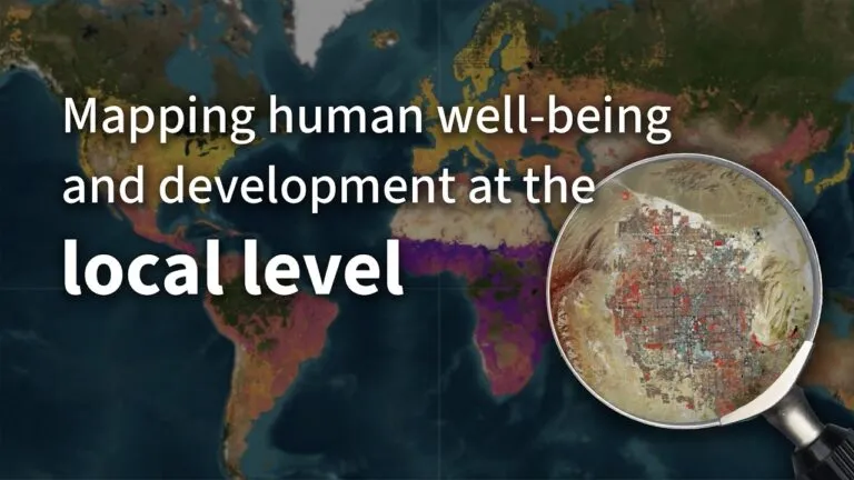
Mapping human well-being and development at the local level

GeoAI: The new frontier of Financial intelligence | GIST Impact | AI & Geospatial Dialogue

How PLACE Builds Trust and Transparency in Geospatial Data | AI & Geospatial Dialogue Series

Trust in AI requires trust in data | Open Geospatial Consortium | AI & Geospatial Dialogue Series

The role of GeoAI in Finance by Nataliya Tkachenko | AI & Geospatial Dialogue
The latest


Events

Next Event
04.20.2026
The Next Geo | A Global Summit by Geoawesome
Podcasts
All PodcastsToday’s Featured


More Stories


Search