#Ideas

StoryMap JS: Tell your own story using the Open-Source Story Map tool

Who doesn’t like to read an interesting story? We all love stories in one format or the other – movies, novels, fairy tales, sometimes even creative news reports 😉 Here’s a geoawesome addition to that list – Maps! Yes, Maps! Story Maps are fast becoming incredibly famous as an interesting means to tell a story. When it comes to geospatial innovation, ESRI is not usually far behind and if I am not wrong, it was ESRI’s idea in the first place to have Story Maps (ESRI Story Map).

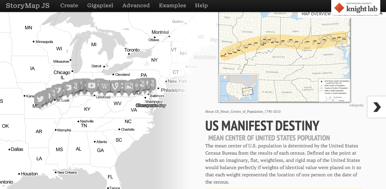
Can we expect the Open Source community to sit back and miss such an interesting concept. StoryMapJS by Northwestern University is an Open Source tool under MIT license that allows you to create your own story map. Interestingly ESRI’s Story Map application is also open source.

StoryMap JS


StoryMap JS is still beta which means you might encounter problems with its functionality on different web browsers. A lot of tools that are currently being released under the open source license are super secretive about where to find their source code! Thankfully, the team behind StoryMap JS has said that although code contributions are currently under process, if you are particularly interested you can reach them at support@knightlab.zendesk.com

StoryMap JS Open Source Story Map Tool vs ESRI Story Map?

StoryMap JS is still in its nascent stages and when you compare the documentation and pre-defined functionalities of ESRI’s StoryMap solution to that of StoryMap JS, one would realize how advanced ESRI is at this stage. However I hope this is going to create healthy competition between the Open Source community and ESRI!  For now ESRI Story Map is my one-stop story map tool 🙂

Say thanks for this article (0)
The community is supported by:
Become a sponsor
#Ideas
#Business #Environment #Ideas #Satellites
China’s Smart Agriculture Boom Has Tech Potential but Requires Affordable Solutions
Nianhua Liu 05.9.2024
AWESOME 3
#Contributing Writers #Fun #Ideas
From Digital Footprints to Urban Intelligence: Leveraging Public GPS Traces
Sebastian Walczak & Nikita Marwaha Kraetzig 07.25.2024
AWESOME 1
#Humanitarian #Ideas #People
A Beginner’s Guide to GeoHumanitarian Mapping Organizations
Nianhua Liu 06.6.2024
AWESOME 3
Next article
#People

Attend GeoSkill Project Workshop in Netherlands

Initiated by the Dutch and the Geo Employment Market Foundation (SAGEO), the GeoSkill Plus Project is an ambitious project aiming to match labour market needs with geo education offer in Europe.

PROJECT DESCRIPTION

Impression

“Geo Skills + is a European Commission funded project under DG Education and Culture, Leonardo da Vinci programme. It began in October 2013 and will run until October 2015.
The aim of this two-year project is to enable European countries to exchange best practices and innovation with each other regarding the mismatch between Europe’s geospatial vocational education and training and the geospatial labour market. There is a growing need for well-trained students at all levels – vocational, bachelors, masters – in the field of geospatial technologies. This is because there are a growing number of jobs available in land surveying, mapping data collection, data processing, data delivery and turning data into information.

With the increase of jobs, the GEO education community has to be able to keep pace and produce enough qualified graduates. In order to tackle these issues the Geo Skills + consortium was formed. The Geo Skills + project will host activities such as workshops, roundtables, surveys and desk-top studies, where the European GEO community will be involved.

The plan is to identify and set up optimal ways to Raise Awareness of GEO studies and increase student enrolment. Geo Skills + will also identify gaps between the supply of GEO jobs and the demand for qualified graduates in different European countries, and set up ways to bridge the gap. Ultimately a Cooperation Model will be created that identifies all stakeholders and offers them the steps necessary to improve Europe’s position in the global geospatial market”

PROJECT WORKSHOP – MAY,21,22 2014, HARDERWIJK, NETHERLANDS

Following the three main objectives announced by the GeoSkill + actors, here are the main topics that will be discussed during the workshop:

  • Bridging the Gap:   What are the challenges towards meeting the needs of the labour market?
  • Raising Awareness:  What has been done so far in Europe?
  • Cooperation Model:  Who are the key players that need to take responsibility in order to improve the geospatial labour market?

Who should attend? 
– Teachers of geospatial technologies
– Students of any field that has a geospatial component to it
– All levels of Government using geospatial technologies
– Companies that need skilled geospatial technologies employees
– Other stakeholders who feel attracted to this event

Why you should attend:
–  Learn about the very innovative Geo Skills Plus project.
–  Hear first hand from several country representatives about their challenges of linking  geospatial Vocational Education and Training (VET) to labour market needs…and what they are doing about it.
–  Share your own stories
–  Give us your suggestions for an insfrastructure to improve cooperation between education and world of work.
– Network with european key actors in the field

THE WORKSHOP IS FREE! ONE MORE REASON TO GO

Follow the Project on Social Media for more news!

facebooktwitter-icon-hover

Read on
Search