The Quest for Insights: A Shift to Location Intelligence
The $5 billion dollar GIS and spatial analytics industry – expected to hit $10B by 2023 – has been dominated by legacy GIS tools and methods for years. As new types of streaming data from smartphones, sensors and connected cars continues to rise, the real-world application of location data has to evolve. The amount of data being generated – an estimated 2.5 quintillion bytes of data created every day – demands a more robust approach, including advanced analytics and machine learning to keep up with the always-on stream of information.
As new analytical methods and non-static data streams prompt a shift away from legacy GIS specialists towards a broader set of users and analytics, location data will become an increasingly pervasive factor in our everyday lives. This evolution will cause the use cases for location data to evolve as well. While location data was previously used exclusively by mapping experts and select government agencies, today location technology has applications across organizations and departments to make sense of more data and inform new kinds of business decisions.
The following trends underscore the need for a more accessible approach that LI brings to the table:
- Companies will start using data collected from cities, including fixtures like trash bins and traffic patterns, to plan their growth and market strategies: Public data from government/city sources will actually be used by private organizations to improve their own operations. The amount of public location data being generated will make IoT Hardware inseparable from the Location Intelligence software that makes it actionable.
- Marketing campaigns based on consumer proximity and daily habits will become standard practice: Data about where consumers eat, shop and socialize is increasing, and marketers will continue to lean on these insights to tailor data-driven advertisements based on real-time location. This will impact the look-and-feel of ads to draw attention and more accurately influence the consumers that are exposed to them based on personal preference and interest.
- Omnichannel will tell retailers how to optimize store locations: Omnichannel is in and here to stay. By 2021, e-commerce sales will have increased threefold to $4.5 trillion since 2014, but surprisingly, 90 percent of retail transactions still take place offline. As Retail Dive’s Consumer Survey reports, 62 percent of shoppers prefer to “kick the tires” with “To see, touch, feel and try out items” ranking as the top reason why consumers choose to shop in physical stores.
Retailers will start using customer and location data not just to plan the opening or closing of a store location, but to better understand exactly what role physical locations should play in the buyer’s journey. Some leading ecommerce brands are already creating micro stores to provide shoppers a place to try on online inventory or repurposing existing locations to serve as walk-in distribution centers for online purchases, providing the convenience of online shopping with the instant gratification of in-store pickup.
As an increasingly mobile and connected society, we generate a constant flow of data with a location component. By transitioning from GIS to location intelligence (LI), the ability to work with spatial data becomes more accessible to users of all levels and expertise, opening new doors and creating opportunities for organizations to work across data sets and gain insights never before available. Organizations may reimagine their entire business models to stay competitive, or cities evolve decade-old systems to better serve citizens. Already, consumers can see these insights creating subtle changes and improvements to the way they interact with brands, each other and their environments.


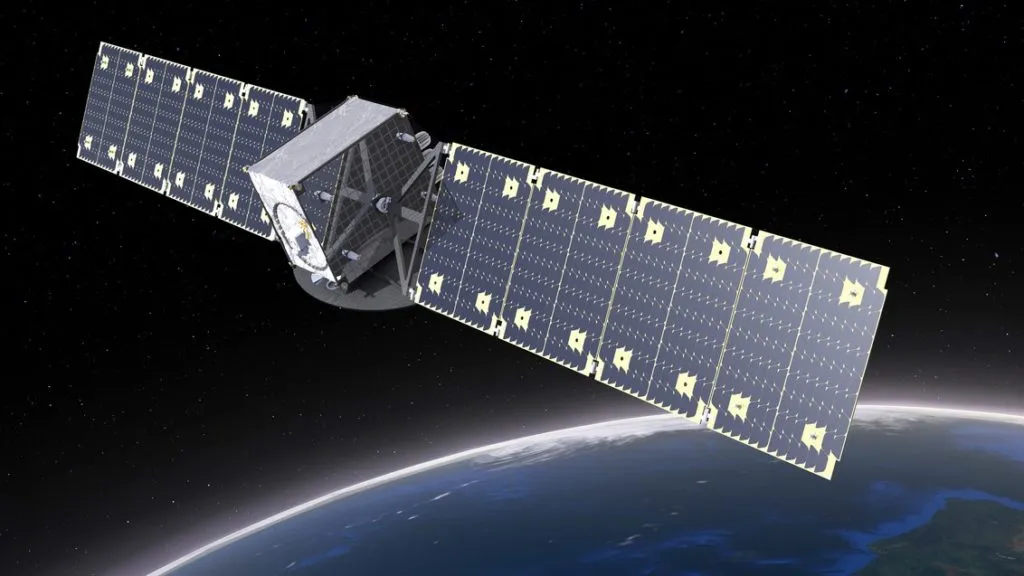
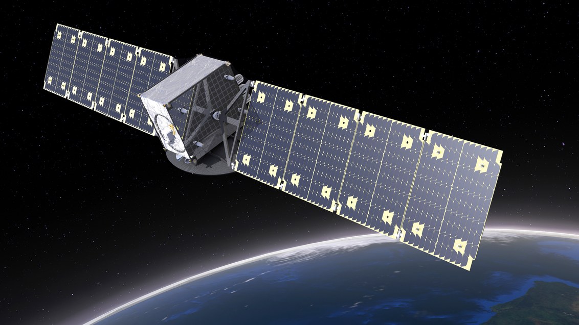
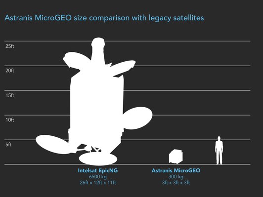
 Last week, the company received a vote of confidence in the form of a $13.5 million funding round from venture-capital firm Andreessen Horowitz. “[Astranis] has put together the right technology and strategy to offer broadband connectivity anywhere on earth at a small fraction of what’s possible using traditional satellites,” Andreessen Horowitz says in a blog post.