#Business #Featured

Maxar to sell Canadian subsidiary MDA for $765M to lower debt

Maxar MDA sale why

Satellite industry giant Maxar plans to sell its Canadian space robotics arm – MacDonald, Dettwiler and Associates (MDA) – to a consortium led by Toronto-based investment firm Northern Private Capital (NPC). The CAD $1 billion ($765 million) deal is being proposed so that Maxar, a provider of advanced geospatial and space-based technology solutions, can meet its near-term priority of paying down debt and reducing leverage.

As of September 2019, Maxar’s long-term debt stood at $3.13 billion. MDA’s sale, combined with the recent earnings from real estate trades in Palo Alto, California, will help to take that hefty debt down by more than $1 billion.

“Also, the loss of future cash flow from MDA will be significantly offset by interest savings from the reduction of debt,” points out Biggs Porter, Maxar CFO. Porter also explains that while the sale of MDA will reduce the size of the overall company, Maxar could continue to expect significant growth over the next several years as the construction spends on WorldView Legion constellation complete and the satellites come online in 2021.

As part of the current deal, all of MDA’s Canadian assets – ground stations, radar satellite products, robotics, defense, and satellite components, and almost 1,900 employees – will be acquired by NPC. However, there are no plans to change the company name and the MDA team will continue to operate as a stand-alone company within NPC’s portfolio. Maxar also plans to retain MDA as its commercial partner by continuing to purchase certain components and subsystems from the latter.

“After the transaction is complete, Maxar will retain leading capabilities in geospatial data and analytics, satellites, space robotics, and space infrastructure, and we will continue to have strong alignment with our defense and intelligence customers, the evolving requirements of civil governments, and the pursuit of innovation seen in the commercial marketplace,” Maxar CEO Dan Jablonsky sums up.

Say thanks for this article (0)
The community is supported by:
Become a sponsor
#Business
#Business #Featured
The Earth Observation Hub Report: 2024 Industry Trends and Analysis
Avatar for Muthukumar Kumar
Muthukumar Kumar 03.13.2024
AWESOME 4
#Business #GeoDev
3 Pathways For Integrating Planet Data Into Your GIS Workflow
Avatar for Sponsored Article
Sponsored Article 08.12.2024
AWESOME 1
#Business #Fun #Ideas #People
History of GIS | Top 6 Figures in GIS and Geospatial
Nikita Marwaha Kraetzig 08.12.2024
AWESOME 3
Next article
#Business #Featured

New Apple Maps now available across US: What are users saying?

New Apple Maps review

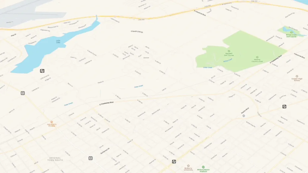
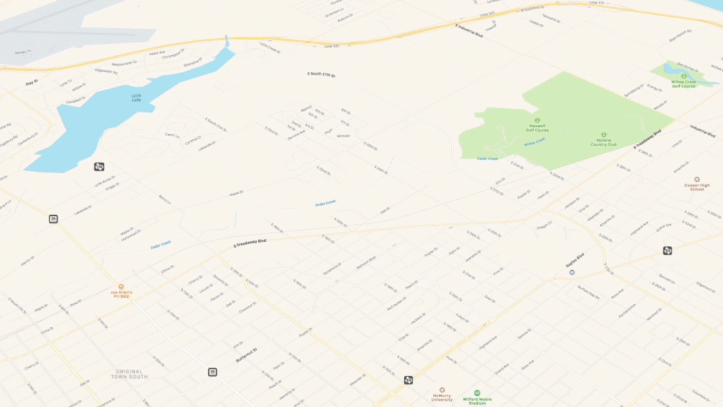
Apple’s new map has richer details and better road coverage. Courtesy: Apple

Earlier this year, while previewing iOS 13, Apple had promised it would roll out the new Apple Maps – which the tech giant has built from scratch – to the entire United States before the end of 2019. Well, Apple has just made good on that ambitious promise by bringing updated Maps coverage to Central and Southwest US, completing the country-wide rollout. Other countries can expect this upgrade in 2020.

Powering the upgraded Apple Maps is a new basemap and high-resolution 3D photography that Apple has collected via aerial data and by driving for more than 4 million miles across the world. Apple Maps now offers features like ‘Look Around’ which gives users a 360-degree, panoramic view of cities; ‘Collections’ which allows users to share favorite restaurants, shopping marts, etc., with friends; and ‘Favorites’ which simplifies navigation to oft-visited places like home and work with a simple tap from the launch screen.

Related: Why did DuckDuckGo switch to Apple Maps?

But the features that have caught the attention of users go beyond these. For example, in several areas, Apple Maps show stoplights right on the map, giving crisp instructions like “Turn left after 2 stoplights” or “Take right after this stoplight” – arguably easier to comprehend than “In 200 feet, turn left.”

Many users are also enjoying the new 3D map overviews in Apple Maps.

However, some sharp-eyed users were quick to notice that the walking/cycling map data still leaves a lot to be desired.

Another point of contention for many has been that, unlike Google Maps, Apple still does not have a seamless solution for those who want to see the local business hours, reviews, or pictures of a place. Apple routes all review to Yelp, and even those cannot be opened within Apple Maps without downloading the Yelp app.

Have you used the new Apple Maps yet? We would love to hear about your experience in the comments!

Read on
Search