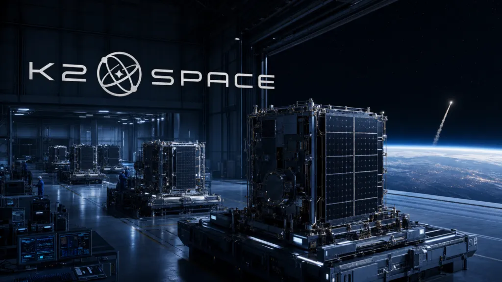

K2 Space has reportedly raised a $500 million Series D at a $6.8 billion valuation, as investors place an increasingly large bet on high-power satellite platforms serving both commercial constellations and national-security missions.
According to reporting by SpaceNews and Bloomberg, the round was co-led by Kleiner Perkins and ICONIQ, with CapitalG, Lightspeed Venture Partners and Altimeter also participating. The financing and investor roster have not yet been confirmed in a public announcement accessible from K2 Space, so these details should remain attributed to the reporting rather than presented as company-verified facts. Read the SpaceNews report.
If confirmed, the round more than doubles K2’s valuation in seven months. The company announced a $250 million Series C at a $3 billion valuation in December 2025, meaning its reported valuation has increased approximately 127% since then. See K2’s Series C announcement.
That increase says as much about the market as it does about K2. Investors are no longer funding only lightweight spacecraft optimized for low-cost rideshare launches. Demand is growing for larger satellite buses that can host power-intensive communications, sensing, computing and defense payloads—without returning to the cost structures and decade-long development cycles associated with traditional bespoke satellites.
K2’s proposition is that mass production and lower launch costs can make large, capable spacecraft economical again.
Bigger satellites, manufactured differently
K2 says its Mega Class platform can support approximately 3,000 kilograms of payload and deliver 20 kilowatts of power. The company promotes a vertically integrated production model in which roughly 80% of each spacecraft is manufactured internally. These are K2’s own specifications and manufacturing claims. K2 describes its platform here.
The company argues that standardized, high-power satellite buses can serve missions across low, medium and geostationary Earth orbit. Potential applications include broadband connectivity, orbital computing, Earth observation, space-domain awareness and missile-defense systems.
That breadth is commercially attractive, but it also makes execution demanding. A platform suitable for multiple orbital regimes must solve different propulsion, thermal, radiation, communications and lifetime requirements while maintaining a repeatable manufacturing process.
K2 is moving from demonstrations toward that industrial challenge.
In March, SES agreed to buy an initial 28 K2 satellite buses for its planned meoSphere medium-Earth-orbit network. SES intends to build a constellation of around 100 satellites, with operations targeted for 2030. The order provides K2 with a major commercial customer and, more importantly, a test of whether its production model can support constellation-scale delivery. Bloomberg reported the SES order.
K2 is also part of an Anduril-led team working on prototypes for the United States’ Golden Dome missile-defense initiative. That places the company inside a strategically important defense program, although participation in a prototype team should not be confused with a long-term production award. Read Bloomberg’s Golden Dome report.
Capital is arriving ahead of full-scale proof
The new funding would put K2 among the largest private space-technology financings of 2026. It follows a $500 million Series D for Impulse Space, a $550 million raise for Sierra Space and a reported $650 million round for True Anomaly. Capital is concentrating around companies that can plausibly supply infrastructure for both expanding commercial space markets and rising government demand.
K2’s valuation is nevertheless pricing in a great deal of future success.
The company was founded in 2022. Its near-term work includes the Gravitas mission, intended to demonstrate its high-power architecture and support payloads including space-computing systems. Earlier reporting indicated plans for around 11 satellites over two years. TechCrunch examined the Gravitas mission.
K2 has also been expanding its engineering footprint and has reported more than $1 billion in contracts. Contract value, however, does not automatically translate into recognized revenue, profitable manufacturing or successfully deployed spacecraft. GeekWire reported on the company’s expansion.
This is the key tension in the story: the valuation has advanced faster than the company’s public orbital and production record.
The Series D therefore appears less like funding for another prototype and more like financing for factories, supply chains, engineering teams and working capital. Producing dozens of large spacecraft annually requires a different organization from building a small number of demonstration vehicles. Quality assurance, component availability and schedule reliability can become as important as spacecraft design.
Why geospatial readers should care
For the geospatial industry, K2 represents a potential shift in the economics of satellite missions.
Earth-observation and spatial-intelligence companies have traditionally faced a difficult choice: build smaller satellites with constrained payload power and aperture, or accept the cost and development time of larger custom spacecraft. Standardized high-power buses could create a middle path, allowing operators to deploy more capable radar, optical, hyperspectral or onboard-processing payloads without designing the entire spacecraft from scratch.
The defense connection is equally important. Demand for persistent sensing, resilient communications and space-domain awareness is making commercial satellite manufacturing part of national-security infrastructure. Companies able to serve both commercial constellations and government programs may gain the order volumes needed to scale production—but they will also face export controls, security requirements and changing procurement priorities.
K2’s latest valuation is therefore not validation that the model has already succeeded. It is evidence that investors believe the market for large, rapidly manufactured satellites is arriving.
The next decisive evidence will come from orbit and the factory floor: successful missions, repeatable production, on-time deliveries and the conversion of headline contract values into operating revenue.



#Business
Next article
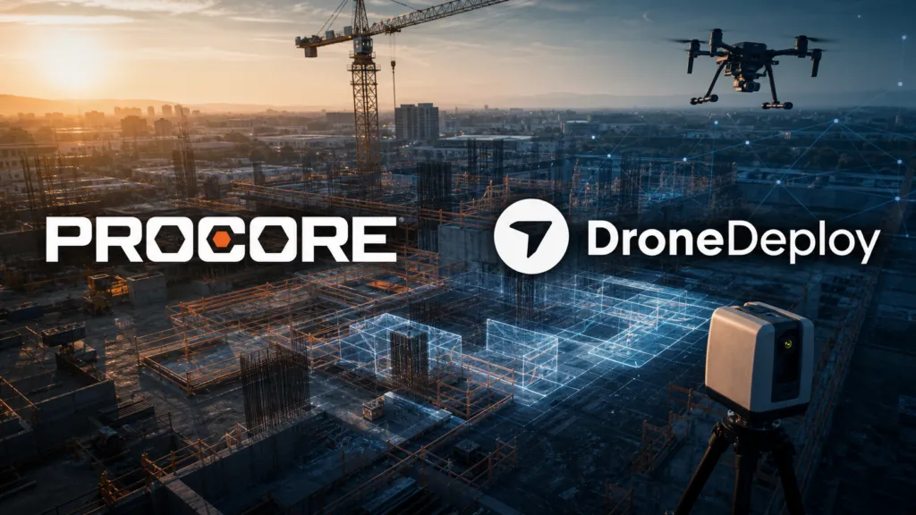
Procore is not simply buying a drone-mapping company. Its planned $845 million acquisition of DroneDeploy is a bet that continuous visual awareness of the physical jobsite will become essential infrastructure for construction AI.
The construction management software company announced the all-cash transaction on July 29, 2026. Subject to regulatory approval and other closing conditions, it expects the deal to close later this year. Procore says DroneDeploy has been used on more than three million jobsites across over 180 countries. Those adoption figures come from the companies and have not been independently audited. Read Procore’s acquisition announcement.
The strategic logic goes well beyond aerial imagery. DroneDeploy has spent years expanding from drone mapping into a broader reality-capture platform incorporating 360-degree cameras, mobile devices and ground robots. Its 2022 acquisition of StructionSite was particularly important, giving the company a stronger position in interior and ground-level documentation rather than limiting it to outdoor aerial surveys.
Construction AI acquires a perception layer
Procore wants to connect that perception layer directly to the project records, drawings, schedules, RFIs and workflows already managed inside its platform. In the company’s vision, cameras and robots would routinely inspect a site, AI would interpret what has changed, and Procore’s software would initiate the relevant workflow.
That could mean identifying work that is behind schedule, documenting a safety issue, comparing installed conditions with a BIM model or alerting a project team when observed progress does not match the plan. This is the difference between AI that answers questions about stored documents and AI that can respond to events in the physical world.
From integration to ownership
The acquisition does not begin from zero. DroneDeploy already supports importing Procore drawings, sending imagery and exports into Procore, and synchronizing field notes with Procore Observations. The existing integration is documented here.
DroneDeploy’s July product release also introduced two-way Procore and Autodesk synchronization, AI-assisted progress tracking and a robotic capture agent. The deal therefore converts an established integration into a unified product and data strategy.
Procore says the combined businesses would connect nearly 400 million photos, more than 126 million drawings and over 10 million recent RFIs, submittals and inspections with DroneDeploy’s approximately 20 trillion square feet of visual data. DroneDeploy also reports tens of millions of user annotations and more than 100,000 labeled safety issues.
These are company-supplied metrics, but they help explain the price. Domain-specific AI depends not only on model capability but on access to correctly contextualized data. DroneDeploy supplies evidence of what physically happened; Procore supplies information about what was supposed to happen and the business workflow that follows.
A significant acquisition for Procore
The $845 million price is substantial relative to Procore’s current business. The company reported $375 million in second-quarter revenue, 16% annual growth and $65 million in quarterly free cash flow. Its full-year revenue forecast is approximately $1.51 billion. See Procore’s second-quarter results.
Reports indicate that Procore arranged up to $700 million of bridge financing associated with the transaction. The acquisition is not contingent on obtaining that financing, although Procore’s public announcement does not state the facility’s amount. Goldman Sachs is advising Procore, while Citi is advising DroneDeploy.
The claim that the purchase price is roughly six times DroneDeploy’s lifetime funding needs qualification. The frequently quoted $142 million total dates from DroneDeploy’s 2021 Series E. The company subsequently raised another $15 million in 2025, while current funding databases track approximately $156 million in total financing. On that basis, the acquisition price is closer to 5.4 times known capital raised—still an exceptional outcome for a reality-capture company.
The larger platform shift
The deal belongs to a wider consolidation of construction technology. Major platforms increasingly want to own the data and intelligence layers surrounding their core systems instead of relying entirely on specialist integrations. Procore itself acquired vertical-AI company Datagrid earlier this year, while Autodesk and Trimble have continued buying workflow and AI businesses.
For specialist geospatial companies, the message is mixed. Spatial capture is moving into mission-critical enterprise workflows. Drone imagery, point clouds and 360-degree documentation are becoming inputs for schedule intelligence, quality control, claims management and automated decision-making.
At the same time, tighter platform ownership can reduce customer choice. Standalone DroneDeploy users will want clarity about future pricing, support for competing construction platforms, data portability and whether mapping and surveying capabilities will receive the same attention as Procore-specific workflows.
Public discussion among UAV-mapping and construction practitioners reflects both sides. Some users see the combination as a natural extension of an already useful integration and expect Procore’s resources to accelerate development. Others worry about consolidation, subscription pricing and DroneDeploy’s gradual movement away from its roots as a general-purpose mapping platform. These opinions are anecdotal, but they identify the questions Procore must answer after closing.
The acquisition’s real test will not be whether Procore can place DroneDeploy imagery inside another dashboard. It will be whether the combined platform can turn repeated spatial observations into trustworthy, auditable actions without removing the human judgment required on complex construction sites.
If it succeeds, the transaction may mark the point at which reality capture stopped being a construction add-on and became part of the industry’s operating system.


