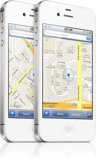
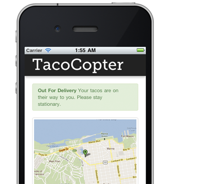
 Interestingly grand, to realise that my new IPHONE 4S can refine my geolocation combining GPS + GLONASS satellites. Is that to say, I could quickly run an RTK-survey of an area to a very good accuracy using the Iphone?. Because the receiver in the phone acquires more satellite to help refine my position to the nearest centimeter accuracy.
Surveyors and GIS professionals take note!, maybe you could try establishing some controls with it and let’s find out how the accuracy correlates with that of a DGPS. This will be an awesome research.
According to Adrien Henni, Compared to GPS only features in mobile devices, the GPS+GLONASS combination can improve the performance of location-based services (LBS) in certain cases. While calibrating device position with GPS only applications requires at least three satellite signals, devices using both GPS and GLONASS benefit from almost double the number of usable satellites in the sky compared to GPS alone, making positioning more accurate, especially in dense ‘urban canyon’ environments.
In case you are not familiar with the term, GLONASS is short for Global Navigation Satellite System which is, according to Wikipedia, a radio-based satellite navigation system operated by the Russian Space Forces. It is an alternative United States’ Global Positioning System (GPS), the Chinese Compass navigation system and the planned Galileo positioning system of the European Union.
GLONASS is connected to 24 satellites worldwide which work alongside the standard 31GPS satellites giving you a greatly enhanced fix speed and accuracy.


