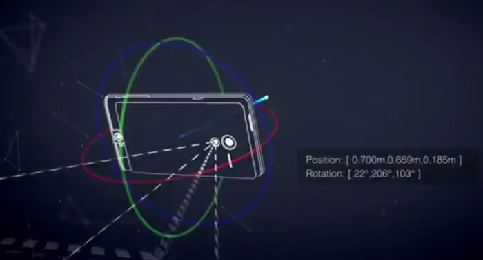
Google launches “Project Tango”: The 3D Mapping & Navigation SmartPhone
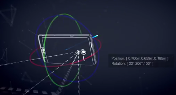 Google has announced the launch of its computer vision and 3D sensors project “Project Tango”: essentially a smartphone prototype with advanced 3D sensors. This new prototype doesn’t just have motion sensors but actually allows 3D scanning thereby opening up a whole lot of possibilities for Computer Vision and 3D Mapping/Navigation. The application that interests us geoawesome people the most – Indoor Mapping & Navigation!
The Advanced Technology & Projects group at Google is currently allowing developers to sign up for access to these “Project Tango” smartphones to develop interesting applications for the device in the domain of Indoor Mapping/Navigation, Games & more and if you are interested, you will have to submit your ideas to Google by March 14th, 2014.
In the official page for Project Tango, Google questions: What if you could capture the dimensions of your home simply by walking around with your phone before you went furniture shopping? What if directions to a new location didn’t stop at the street address? What if you never again found yourself lost in a new building? What if the visually-impaired could navigate unassisted in unfamiliar indoor places? What if you could search for a product and see where the exact shelf is located in a super-store?
Its quite interesting to be able to navigate inside buildings and have a visual perceptions to all this. Google isn’t the only tech giant that is looking at 3D sensors and mapping; Apple had acquired a 3D sensors company “PrimeSense” late last year. QualComm had acquired “GestureTek” in 2011. With the advent of Location Based Apps and Information, Indoor Mapping has become very important and certainly we will see these 3D sensors and scanners being part of everyone’s phone in the coming years.
Got any interesting ideas for Project Tango? Here’s the link to the official Project Tango Page where you can submit your ideas 🙂


