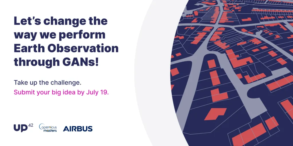

The field of Earth observation and applications for EO data are expanding rapidly. However, developers and data scientists who possess the next big idea for using EO data often face a major roadblock: limited funds and resources. Luckily, the 2021 Copernicus Masters Challenges are here to support tech-savvy innovators as they bring their ideas to life. Copernicus Masters is a set of global challenges asking participants to use EO data to improve and preserve daily life. Through the challenges, participants compete for prizes to back their work such as free data and cash winnings.
UP42, a global provider of geospatial data through its platform and marketplace, is offering a Copernicus Masters challenge as one of the program’s partners. The company is calling on researchers, companies, and students to develop an image augmentation algorithm to address common issues hindering EO analytics.
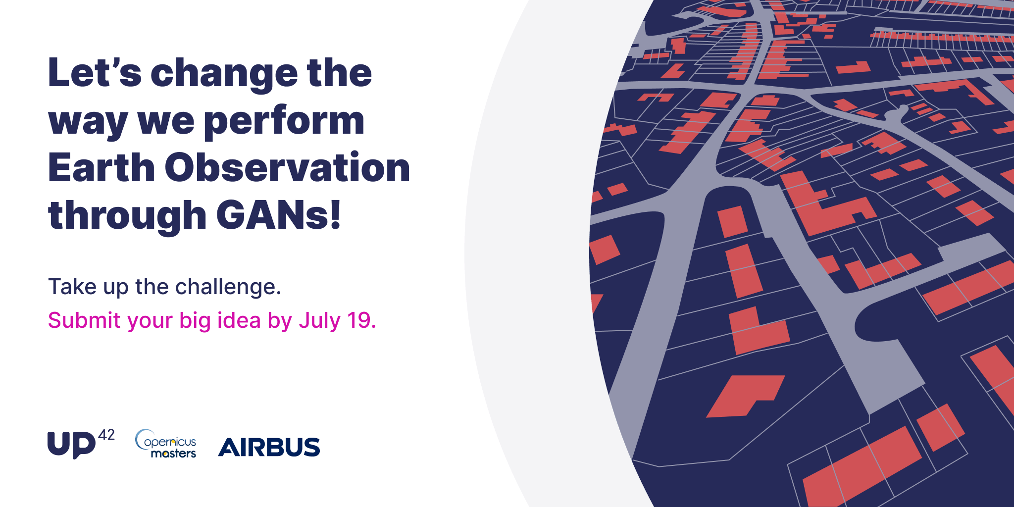
To qualify, these algorithms must use generative adversarial networks (GANs)—an innovative deep learning approach that is becoming an industry standard for its ability to produce higher-resolution imagery from low-resolution data input.
Participants will focus their algorithm on solving one of three issues:
- Unsupervised change detection—GANs can be used to generate better coregistered images via synthetic image generation.
- Clouds and shadows in optical satellite imagery—these obstacles affect almost all land, water, and atmosphere applications.
- Super-resolution satellite imagery—increasing the resolution can widen the range of objects detected from a given data set.
To develop an algorithm, participants will have access to very-high-resolution imagery from UP42’s content partner Airbus and data from all Sentinel missions via the sobloo platform.
UP42 chose to offer this challenge because it ties in with the company’s core mission of democratizing access to Earth insights. By offering access to data and the tools to innovate with Earth observation, the company hopes to inspire more change-makers to think beyond what’s currently being done in the industry to solve real-world challenges like climate change and food insecurity.
Winner Takes All for UP42 Copernicus Masters Challenge
To determine the challenge winner, projects will be judged on four criteria: scientific value, product and business value, quality of implementation, and ecological impact.
The winner of the UP42 challenge will receive three rewards to support their work:
- OneAtlas Prize: a voucher to access commercial satellite data from Airbus
- UP42 Prize: a voucher to access geospatial data and algorithms from the UP42 marketplace
- Satellite Data: up to EUR 10,000 worth of commercial datasets from the Copernicus Contributing Missions
Copernicus Masters will also have an overall winner who will take home a EUR 10,000 prize—a solid investment for turning their project into a full-fledged business.
To compete for these prizes, be sure to register, choose the UP42 partner challenge, and enter your project details into the secure database by 19 July 2021. Submissions will be evaluated by October, and challenge finalists will be notified by November. In December, an awards ceremony will recognize the Copernicus Masters winner.
Did you like the article? Read more and subscribe to our monthly newsletter!


#

Next article


 The Earth Observation community is growing and people are starting to find each other on online social platforms. That is why, in March 2021, Steven Ramage, Keiko Nomura and Flávia Mendes opened a room at ClubHouse platform in the Earth Observation club to discuss EO for good from the private sector perspective. The result was very interesting and it led to more topics that the community would like to discuss. Therefore, we had the idea to continue it, but this time on Spaces/Twitter APP. In this second meeting, we discussed supply chain in the context of Earth Observation. This meeting’s expert guests were Arjen Vrielink (Satelligence), Bernardo Rudorff (Agrosatélite) and Sarah Middlemiss (Ecometrica) and shared their experiences and views on the subject.
A nice, informal chat sprouted. In addition to the guests’ examples of the use of Earth Observation in supply chains that mostly work in the commodities sector in developing countries, listeners also chipped in by raising technical and commercial aspects.
On the technical side, the challenges of centralizing high accuracy data into a single database are ample. The Global Forest Watch (GFW) [1] data has a spatial resolution of 30 meters and is available all over the world. In this case, it is necessary to consider the possible generalization errors; especially in transition zones that have a great floristic variability, this can ‘confuse’ algorithms in the identification of forest or non-forest. For this, local data such as the PRODES [2] deforestation data of the Amazon processed by the National Institute for Space Research (INPE) can contribute to overcome this challenge, since the algorithms are trained specifically with the floristic variability of this specific region, such as the Amazon Forest. Additionally, PRODES data are very useful in monitoring the conversion of native vegetation such as in the case of the Soy Moratorium [3]. This discussion leads us to another aspect of the technical challenges: what is deforestation? Is deforestation clear cut, forest disturbance, selective logging or plantation replanting? The definition of these terms by each institution or company influences analysis results.
Apart from differences in datasets and definitions like between PRODES and GFW, vegetation mapping faces other challenges. Take, for example, the case of cocoa mapping. Influence of the overlap of larger trees in relation to the canopy cover challenges mapping cocoa plantations. Some ideas to overcome this challenge have emerged, such as the use of ‘fuzzy’ gradients rather than sharp boundaries resulting from probabilistic algorithms.
If we think about the commercial aspects that may drive the use of Earth Observation in the supply chain, we can start with the incentives why a company should or should not do this type of analysis. Government regulations? Fines? Marketing&PR (green washing)? Stockholder value? Changing consumer behavior? Or a combination of all these options? It is important to realize that EO companies should understand the pains and gains of supply chain stakeholders that their products or services address.
Additionally, there is the question of ethics and the limitations of products that EO companies can offer in the supply chain. One of the guests asked the relevant question: if your client is asking for a shiny map you could deliver but not at scale (temporal, spatial), do you deliver the shiny map? Unconditionally? Decisions like this are important as part of the work a society must do to reduce the impacts of climate change. Here we see that the challenges in the EO community are not only technical but also ethical, economic and maybe even political. How do you manage expectations? Not only in the short run, but also in the long run.
The discussion showed that much has been achieved, especially with regard to the volume of different earth observation data. However, there are also many challenges still to overcome related to the accuracy of Earth Observation and field data. Additionally, there has to be more communication between the beginning, middle and end of the supply chain. This communication could be facilitated by EO derived products and services to create an evidence based area of discourse.
Stay tuned on these twitter accounts (@Steven_Ramage @Keiko_geo and @flasmendes) for more information on upcoming meetings.
Links:
Did you like the article? Read more and subscribe to our monthly newsletter!

