Nighttime satellite images of China reflect COVID-19 lockdown impact
There’s no denying that our planet looks absolutely stunning when wrapped in ‘night lights’ from human colonies, wildfires, oil wells, auroras, or even the reflection of the stars and the moon off the oceans and ice sheets. But the nighttime satellite images captured by earth-observing sensors serve a purpose beyond beauty. They are a testament of not just where we live, but how.
Suggested: Facebook creates interactive COVID-19 symptom tracking map
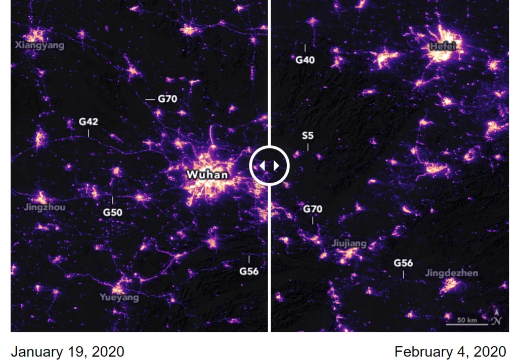
As China came to terms with the gravity of the COVID-19 pandemic outbreak with the dawn of the New Year, the government suspended air, road, and rail travel in the Hubei province and placed restrictions on other activities in the region in late January 2020. This pronounced change in human activity reflects clearly in the nighttime images captured by NASA’s satellites around the city of Wuhan, China, between January 19 and February 4, 2020.
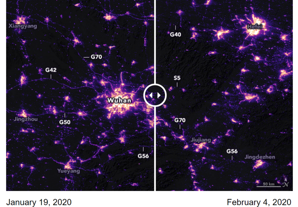
In the side-by-side comparison above, the labels marked with ‘G’ or ‘S’ indicate the highways with most prominent changes. For a more detailed view of the changes in nighttime lights, check out the satellite view of the Jianghan District, a commercial area of Wuhan, and nearby residential areas below:
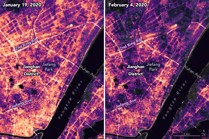
These image pairs were captured by the NOAA–NASA Suomi NPP satellite precisely from the same angle 16 nights apart – which is the satellite’s orbital pattern. The raw images were then calibrated to account for changes in moonlight, clouds, pollution, the landscape, atmosphere, and even the Moon phase.
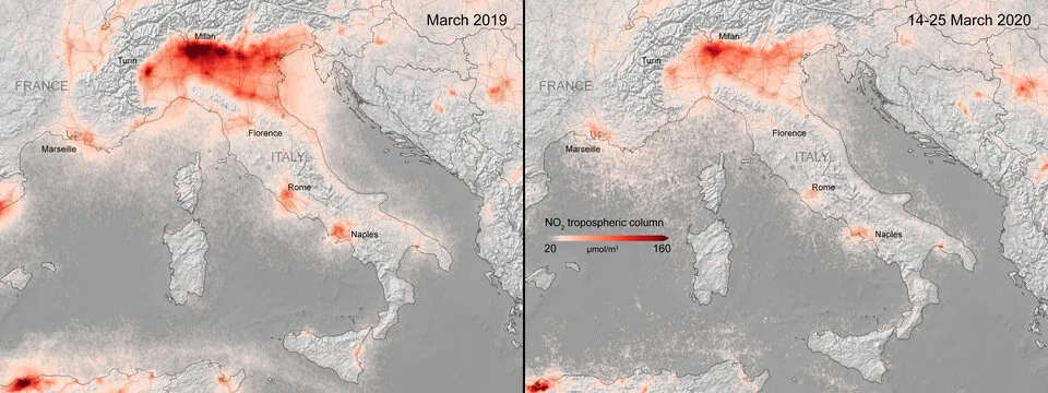
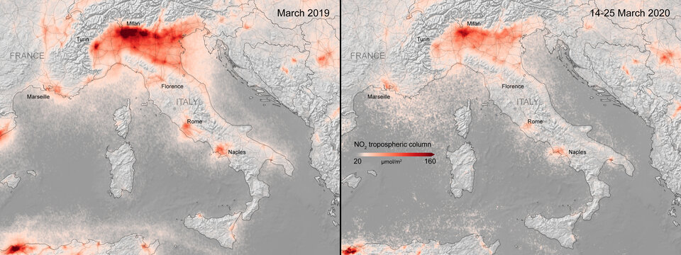
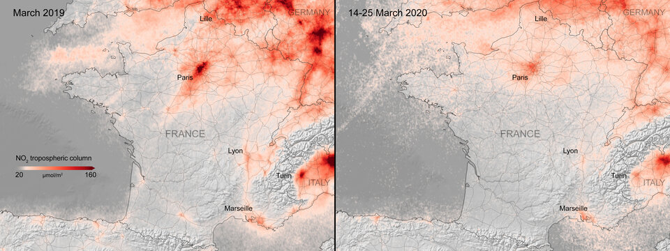
Also see: Better air quality over China due to anti-corona actions
Precision is critical for studies with night lights and the last few years have seen NASA’s ‘Black Marble’ research team build tools and techniques to gather a better, more consistent signal from nighttime images. Miguel Román, a principal investigator of the team, says, “We have been studying cities around the world and how they grow and change. Are they becoming more or less sustainable and livable? How do they consume energy? When, where, and how do people move and why?”
Monitoring night lights gives scientists new insights not just about cities, their infrastructure development, and their growth patterns, but also about the pulse of human activities that make up urban life. After all, urbanization is not just about a place; it is a socioeconomic, demographic, and land-use phenomenon.
If you enjoyed this article about nighttime satellite images, read more and subscribe to our monthly newsletter!


