How cold does it get on earth? Remote sensing answers to a cool question
Just at the beginning of the cold season – at least those of you who are also living in the northern mid latitudes – following information is coming from NASA’s Goddard Center telling us the absolute coldest place on earth. Is the lowest ever captured temperature going to be located at a high ridge in the Antarctica, in a remote place in Greenland or on the top of Mount McKinley, the highest peak of North America located in Alaska holding the sobriquet of ‘coldest mountain’ in the world?
This question may be answered by the sensors of a couple of satellites that have been regularly recording surface temperatures since more than 30 years. Until date, the lowest ever measured temperature at a permanently inhibited place occurred in northeastern Siberia in the towns of Verkhoyansk and Oimekon in 1892 and 1933 respectively, when the air temperature dropped to bone-chilling 67.8°C below zero. The Russian Research Station Vostok in East Antarctic marks -89.2°C as coldest measurement.
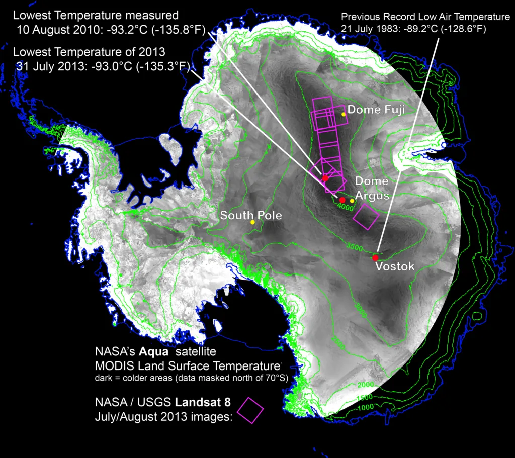
In search of the coolest place on Earth, scientists analysed land surface temperature products from different satellites of 32 years. Moderate Resolution Imaging Spectroradiometer (MODIS) aboard of NASA’s Terra and Aqua satellites as well as the Advanced Very High Resolution Radiometer (AVHRR) on several satellites of NASA are capable to record thermal radiation from Earth’s surface also in places lacking much heat. The analysis revealed that a valley-like area along a 1000km stretch between the two summits of the East Antarctic Plateau, Dome Argus and Dome Fuji, exhibits temperatures plummeting to record lows dozens of times. Against the suspicion that ridges are likely to be the coldest spots, the lowest temperature accumulates in less elevated areas, pockets, in between. The new record of -93.2°C was set on August 10, 2010.
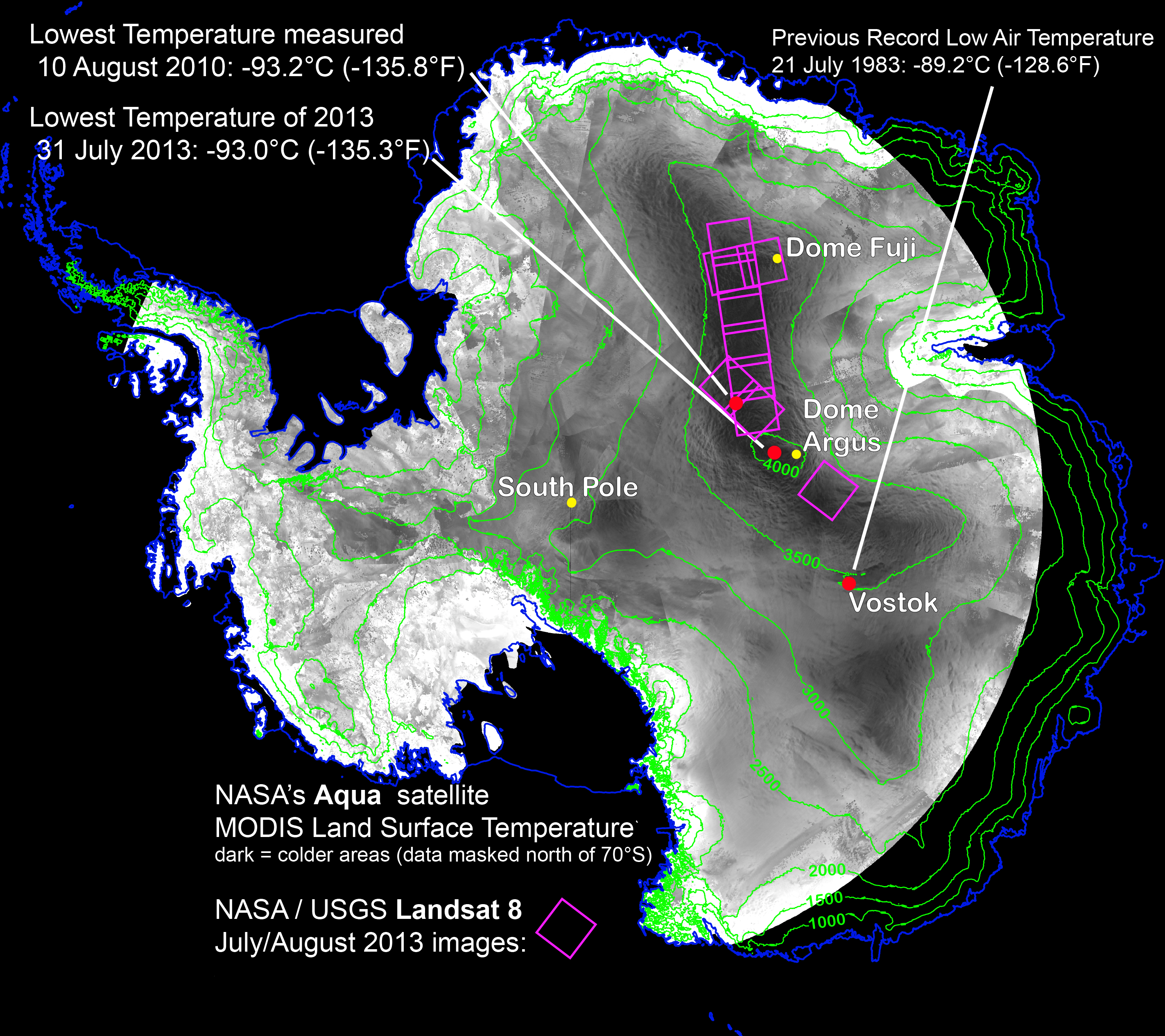
The coldest places on Earth investigated by remote sensing means was located just off a ridge in the East Antarctic Plateau. The coldest of the cold temperatures dropped to minus minus 93.2 C — several degrees colder than the previous record. Image Credit: Ted Scambos, National Snow and Ice Data Center
WHY ARE VALLEY SHAPED AREAS IN EAST ANTARCTIC COLDER THAN ELEVATION AREAS?
Low temperatures are fostered by clear sky conditions, when the ground radiates the heat into space and at the same time chills. If a clear sky persists the temperature around the snowy and icy surface becomes super-cold creating a dense layer of air that slides down the shallow slopes of East Antarctic domes, in order to accumulate in pocket areas and producing record low temperatures. The described effect is noticeable in all mountainous regions, where chilling air around the peaks floats downwards and is trapped in basin areas creating layers of cooler temperature. As a dweller from an Alpine country I know this effect very well.
With the higher resolution of the Thermal Infrared Sensor (TIRS) aboard LANDSAT 8, the scientists were able to pinpoint record-setting locations. The study is an example of showing the usefulness of Landsat 8 and the TIRS instrument. In my article on December 4, 2013, I reported about Antartic’s first high-resolution map relying on LANDSAT satellite imagery. Landsat 8 has captured approximately 550 scenes per day of Earth’s land surface. USGS (US Geological Survey) processes, archives and distributes the images free of charge over the Internet.
Source: NASA Goddard Center, News
Did you like this post? Read more and subscribe to our monthly newsletter!


