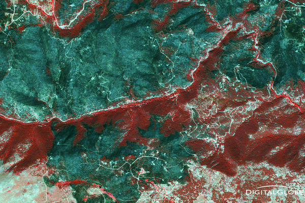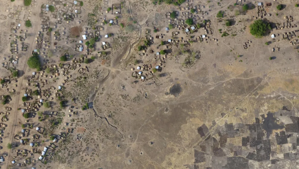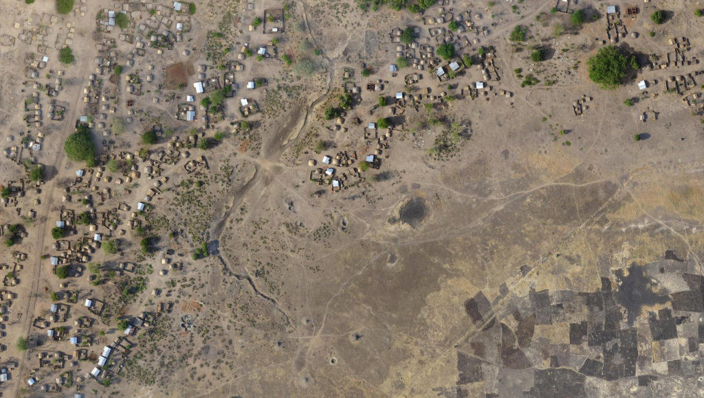
ArcGIS will now offer satellite imagery and a powerful remote sensing analytics
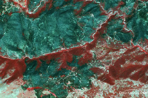
Today Esri announced that it has partnered with DigitalGlobe, and Harris to offer ArcGIS users access to a library of satellite imagery along with analytical and deep learning tools designed to help users gain insights from imagery at scale.
DigitalGlobe resources are huge. They have 17-year, time-lapse library of satellite imagery for the whole world. Combined with powerful Harris’ ENVI remote sensing analytics platform will give Esri users a powerful new set of tool that will allow making a full use of satellite data.
The new service will be called AllAccess+Analytics and will integrate DigitalGlobe’s Geospatial Big Data platform – GBDX, with Esri’s ArcGIS Enterprise 10.5 and Harris’ ENVI remote sensing analytics software. The images will be hosted on GBDX where users will be able to leverage the platform’s machine learning algorithms, together with Esri Raster Analytics, and ENVI imagery analytics. Everything will be accessible via ArcGIS. We can read in the press release:
“The AllAccess+Analytics offering will allow subscribers to tap into more than 100 petabytes of the world’s highest-quality commercial satellite imagery and the industry’s most advanced analytic and machine learning tools. By integrating directly with the Esri environment used by tens of thousands GIS professionals every day, we are making it easier to access our industry-leading image library and answer complex questions at global scale with world-class analytical capabilities.”
As Matt Sheehan pointed out this announcement is fascinating because it plugs petabytes of DigitalGlobe data and powerful analytics capabilities directly into ArcGIS, and I totally agree with him.
Did you like the article? Read more and subscribe to our monthly newsletter!


