Celebrate GIS Day and map the history of cartography and GIS on our timeline
Dear Geo-Geeks, for 2015 GIS Day we aim to do something truly Geoawesome and we would like to ask you to do it with us.
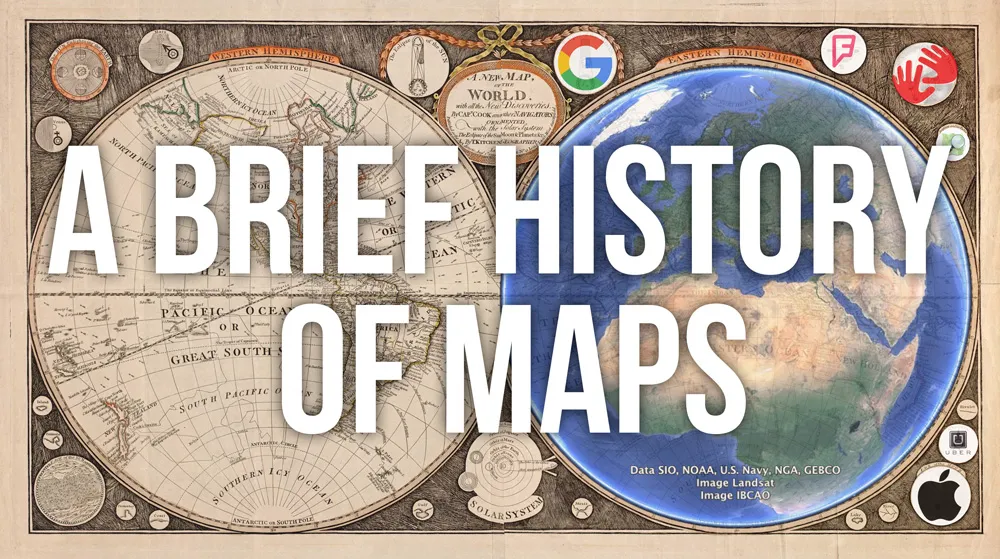
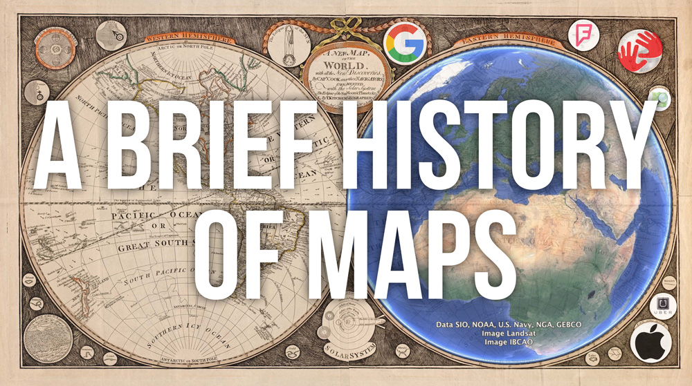
We would like to create “A Brief History Of Maps” where we will mark on a timeline of all important dates and milestones that happened in cartography, GIS, and location-based technologies from the beginning of time until today.
Please help us and add in comments below the post milestones which are missing. We will add them to the timeline ASAP!
Let’s celebrate 2015 GIS Day together.
[timeline-express]
Found a missing milestone? Put it in comment and we’ll add it to the timeline!


