#Contributing Writers
Faster than Maps: How SAR Satellites Expose the Blind Spots of Commercial Cartography
Why commercial maps are falling behind global urbanization, and how multi-modal AI pipelines are the real solution?
If you drop a pin at coordinates 29.96, 31.73 on a standard commercial web map in 2…


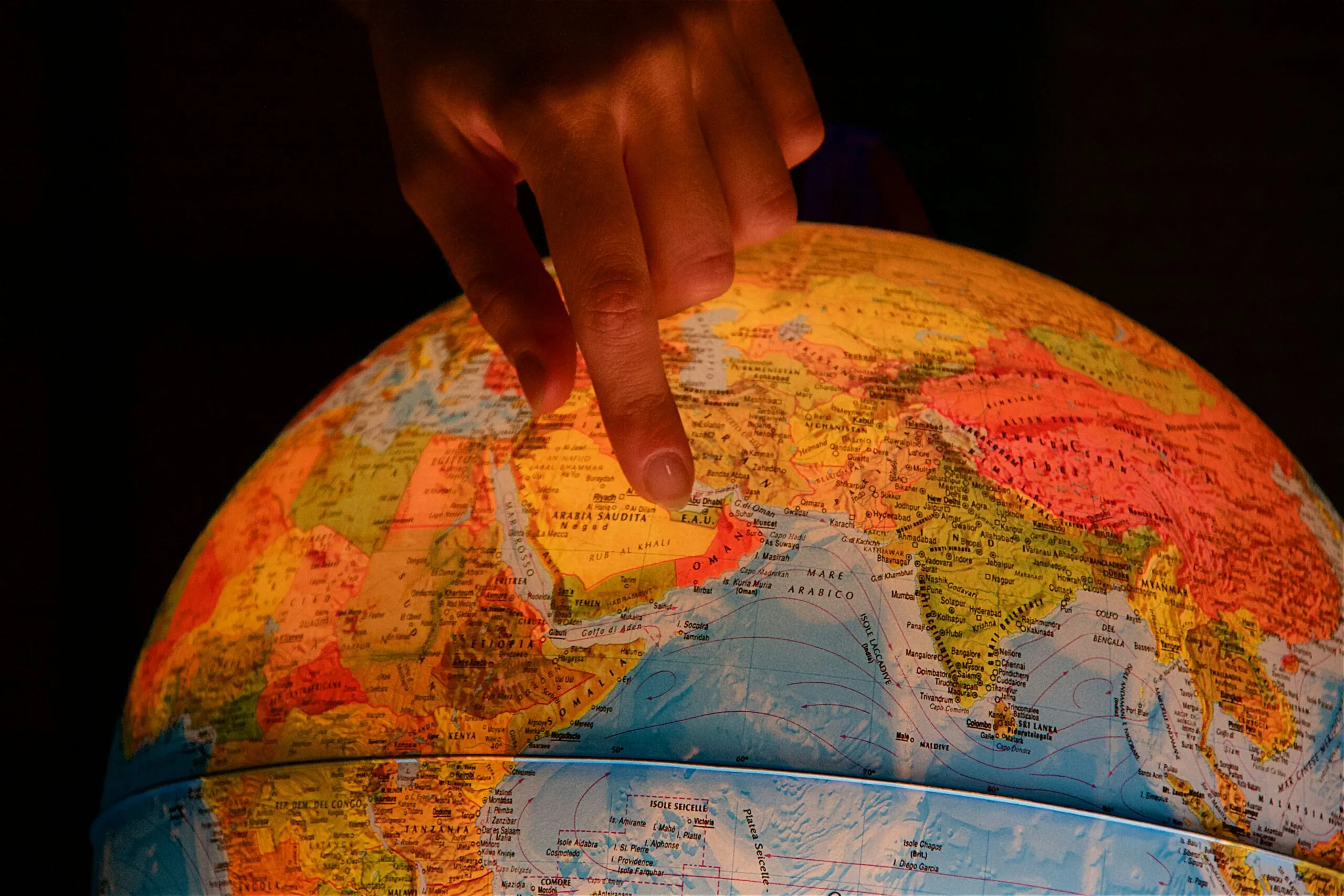
Synthetic Data in GeoAI: Can Models Learn Without Real Data?
Geospatial AI (GeoAI) depends on data. The more examples a model sees, the better it becomes at recognizing patterns in satellite imagery, maps, and sensor data. In practice, however, high-quality geo…


Search