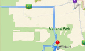
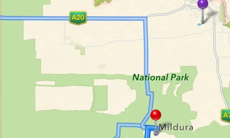
 Everyone who lives outside US know that Apple Maps are total disaster… but this is the first time when it’s officially stated by authorities. Local police in the city of Mildura, Australia, have been forced to warn drivers not to rely on Apple Maps. Maps lists Mildura in the middle of Murray-Sunset National Park, about 70km away from where it should be, and the police have had to rescue people who ended up in the wrong place, some stayed without food or water for 24 hours. Others were forced to walk “long distances through dangerous terrain” in order to get phone reception. Since temperatures can reach up to 46° Celsius (115° Fahrenheit), the police have called it a “potentially life-threatening issue.”
Point for Apple for quickly solving the issue. A day after The Guardian reports that Apple has fixed the error but still apple has serious challenges ahead if it wants to recover its reputation with Maps. All errors are well documented and the web is full of images of some stupid mistakes like renamed Berlin or mangled 3D model of the Brooklyn Bridge.
We can see here as well two important things. First of all the importance of accurate spatial data used by mass market is so relevant these days that it can lead to life-threatening situations. Secondly we can observe how people are using geospatial solutions with 100% trust which is actually leading to life-threatening situations. Be aware!!!
source: MacRumors


