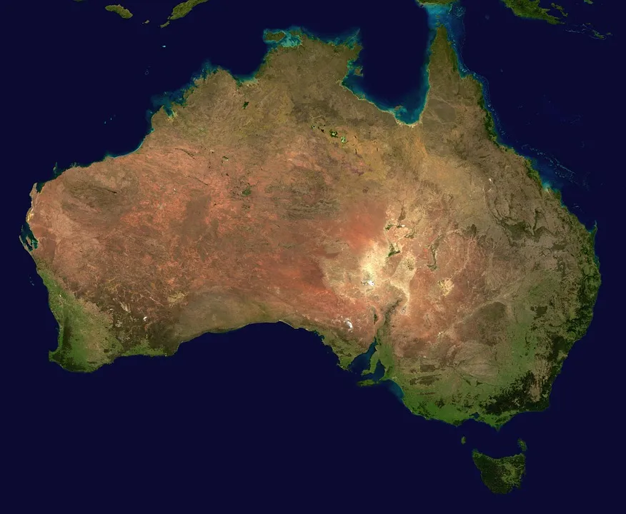
Australia is shifting its geographic coordinates by 1.5m (4.9ft) as the continent constantly moves
 Australia is located on a tectonic plate that moves around 7 cm a year shifting the whole continent a bit north-east. For many years this change was not relevant for geo professionals as the country used local geographic reference systems and datums. The problem started to be visible when the whole world started using the Global Positioning System for precise measurements. Suddenly your GPS points are shifted by over a meter to the corresponding place in reality.
It’s not a big problem for your navigation app but it starts to be relevant for new industries like autonomous cars and drones. The framework currently in use, known as the Geocentric Datum of Australia, was last updated back in 1994. As a result the country’s coordinates are currently off by over a meter and systematically increasing (up to 1.5 meters by 2020).
In order to minimize the impact of that process scientists are planning to revamp all of Australia’s coordinates in January 2017. Interestingly the new datum will be based on projections to 2020, which means in 2017 the data will be out by about 20cm but that gap will slowly close each year. After 2020, a new system will again take over and it will have to be again adjusted with the shifts in the plates over time.
Apparently Earth is much more dynamic environment than we previously thought.


