 Finding the right GIS basemap for your geospatial analysis is always a challenge. Large data providers are expensive and often limit their service to API instead of actual ShapeFiles. On the other hand, there are local data providers and OpenStreetMap but preparing such datasets and verifying their consistency and topology takes a lot of time and resources.
The solution for most of your projects, where you need a global GIS basemap is ADC WorldMap. This awesome seamless geographic dataset is available at a comfortable cost for the entire Earth. The makers of ADC WorldMap, American Digital Cartography, Inc., have been providing digital map data for nearly 30 years and the latest version of ADC WorldMap, v7.4, was released today.

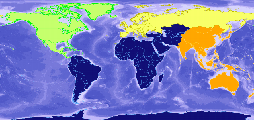
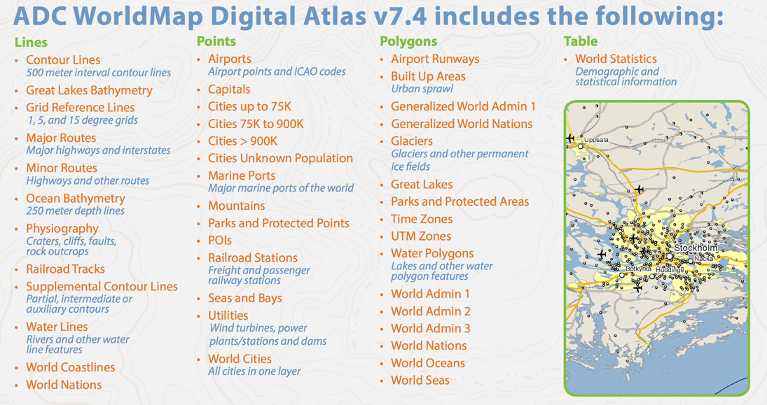
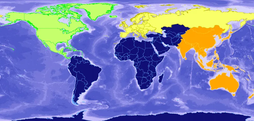
ADC WorldMap database features 45 detail-rich layers and tables. The baseline for the whole dataset is the most current country and political boundaries for the entire world and second level administrative boundaries for 148 countries. Moreover, the data are available in all of the most popular GIS formats including: .shp, .gdb, .tab and Oracle 12c.
There are several more detailed global databases available on the market, however, if your project doesn’t require an ultra-high level of detail but you look for a proven quality and data consistency, ADC WorldMap offers all-around the best value on the market. Check it out.


