USGS debuts Landsat analysis ready data products
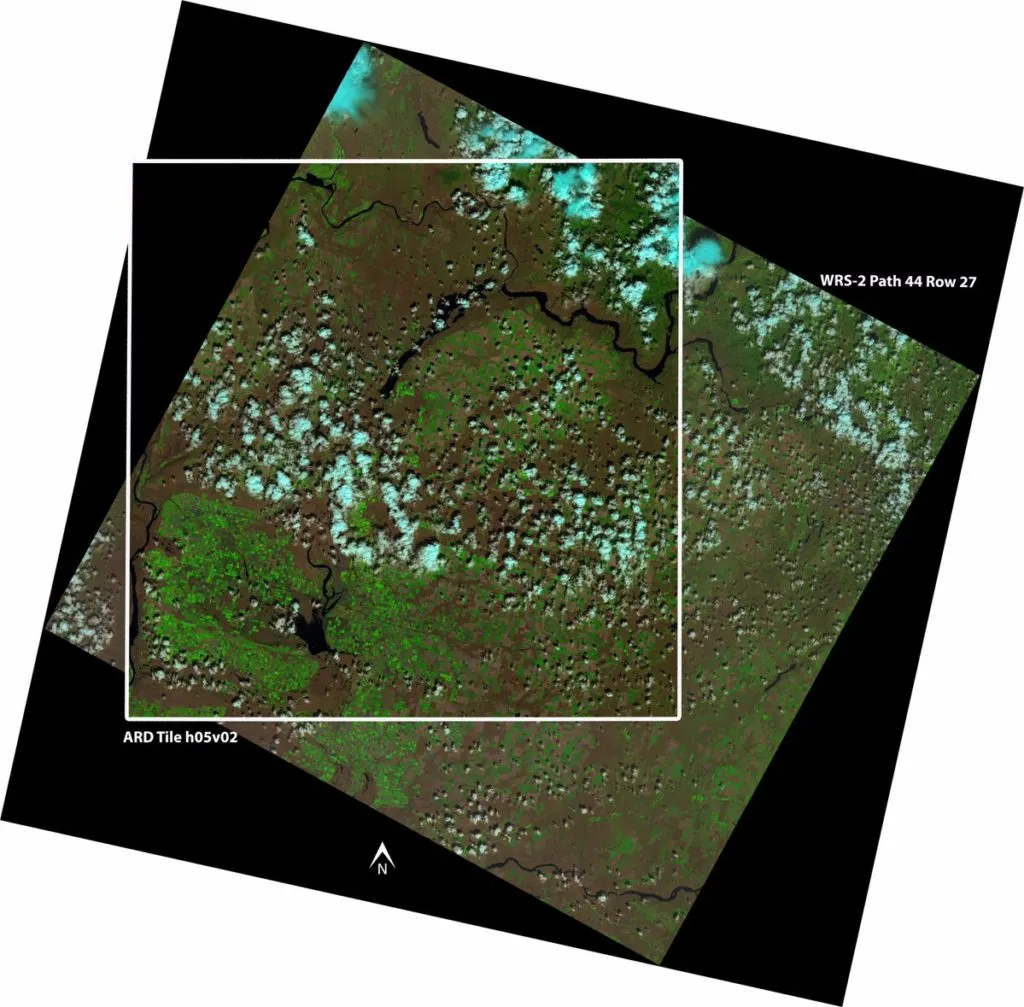
Christmas is early this year for geospatial application scientists who use data from the Landsat Missions! The Landsat program, which has been collecting images of the earth since 1972, is the world’s longest-running satellite-based remote sensing operation. And now, USGS is releasing Landsat analysis ready data (ARD) products for the conterminous United States.
The ARD products will become available for search and download from EarthExplorer in October 2017. Meanwhile, USGS has also confirmed that global Landsat ARD specifications are being developed and will be announced soon.
On the Landsat ARD webpage, USGS explains that Landsat ARD products are consistently processed to the highest scientific standards and level of processing required for direct use in monitoring and assessing landscape change. “A fundamental goal for Landsat ARD is to significantly reduce the magnitude of data processing for application scientists, who currently have to download and prepare large amounts of Landsat scene-based data for time-series investigative analysis,” the scientific agency stresses.
Simply put, this means less time spent on computation and data processing, and more time utilized for applied science. You can explore the individual tile sample data and 1984-2013 time-series data stack samples by clicking here.
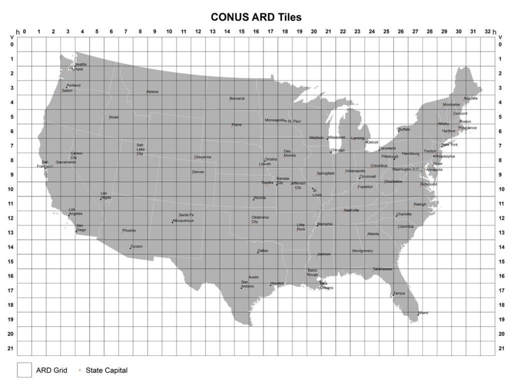
The Landsat ARD tiles consist of:
- Top of atmosphere (TA) reflectance
- Brightness temperature (BT)
- Surface reflectance (SR)
- Pixel quality assessment (QA)
USGS plans to add more products in the future, including surface temperature (ST) data and results from land surface change detection algorithms.
The demand for satellite data is increasing with newer and newer industries discovering its uses, but not everybody has the expertise and infrastructure needed for complex pre-processing. Analysis ready data can be one answer for non-expert exploitation. Kudos, USGS!


