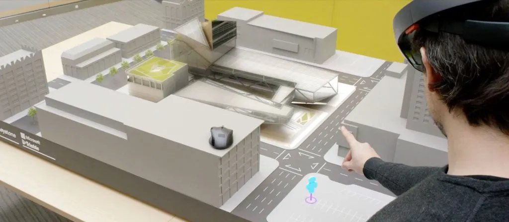
Trimble and Microsoft Hololens to the AEC industry
In Architecture, Engineering and Construction (AEC) industry, most of the time people deal with design work on plain paper and try to visualize 2D information in 3D space. Architects may have to compromise height component in 2D design information and take a decision.
Many of you might know what capable of Microsoft HoloLens in recent developments in visual technology industry. How about leveraging Microsoft’s HoloLens potential in enabling architects to visualize 2D design information in 3D presentation? That’s what Trimble came up with a collaboration with Microsoft to allows us to explore ways to augment today’s technology with solutions that allow individuals to more effectively interpret and interact with physical and digital information and their spatial relationships.
On April 29, Trimble showcased a proof of concept at Microsoft’s Build Developer Conference in San Francisco—demonstrating the technology for the AEC market that can have enormous potential. As part of this, Trimble announced that the focus for now will be on integrating Microsoft HoloLens with Trimble Connect, SketchUp and Trimble V10 Imaging Rover.
Check out the full video demo of Trimble’s app below
Using Microsoft HoloLens and Trimble SketchUp, architects will be able to experience their SketchUp models as holograms placed in the real world—enabling them to quickly analyse various design scenarios in the context of real world environment.
Sources: Trimble


