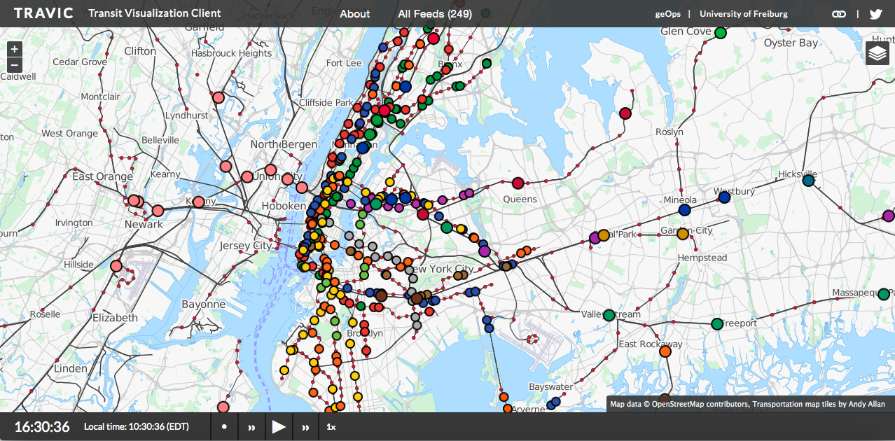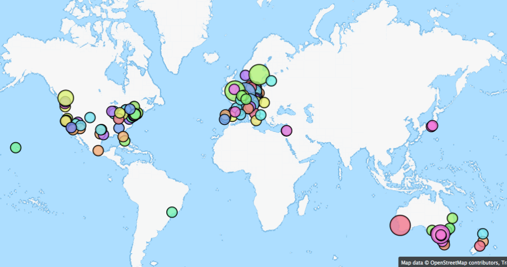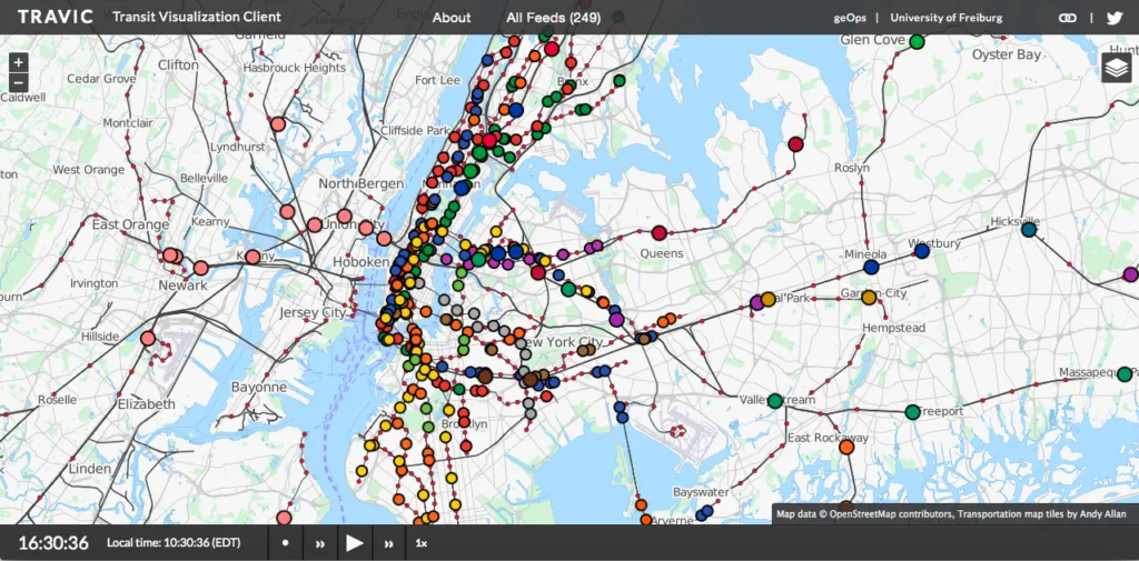
TRAVIC: This #GeoawesomeMap shows the world’s public transportation moving in real time
The University of Freiburg together with geOps, a geospatial company have created an interactive map of the world’s major mass transit systems incorporating over 200 data feeds, showing the real-time movement of public transportation i.e. buses, trains, trams, etc. TRAVIC or Transit Visualization Client is one Geoawesome project.
Its truly incredible.. all those tiny dots inching towards their destinations.. A #GeoawesomeMap indeed 🙂
Unfortunately, not all mass transmit authorities in the world have real-time data available. In such cases, the schedules are used to visualize the routes.
This tracker provides movement visualization of transit data published by transit agencies and operators from all over the world. The movements are mostly based on static schedule data. Wherever real-time data is available it is also included in the visualization. – TRAVIC
Interested in knowing more about how the map was created, geOps has a nice blog post explaining it.


