#Featured #Fun

Top 20 most inspiring TED videos about maps and geography

TED (Technology, Entertainment, Design) is an amazing initiative that organizes events where inspiring people share their inspiring research, work and ideas. For the upcoming holidays we’ve rounded up 20 of the most inspirational and interesting TED talks about maps and geography out there. No matthew if you want it or not watching YouTube videos will most likely end up in your Christmas break’s agenda. This compilation will make it not a total waste of time.

1. Hans Rosling: The best stats you’ve ever seen

2. Rohini Swaminathan – There is nothing natural about disaster (Rohini is one of our Geoawesome authors)

3. Aris Venetikidis: Making sense of maps

4. Daniele Quercia: Happy maps

5. Eric Sanderson: New York – before the City

6. Parag Khanna maps the future of countries

7. Frederic Kaplan: How I built an information time machine

8. Dan Berkenstock: The world is one big dataset. Now, how to photograph it …

9. Ben Wellington: How we found the worst place to park in New York City — using big data

10. Steven Johnson: A guided tour of the Ghost Map

11. Blaise Aguera y Arcas demos augmented-reality maps

12. Stephen Lawler: Look! Up in the sky! It’s Virtual Earth!

13. Eric Berlow and Sean Gourley: Mapping ideas worth spreading

14. Dave Troy: Social maps that reveal a city’s intersections — and separations

15. Parag Khanna: How megacities are changing the map of the world

16. Allan Jones: A map of the brain

17. Lalitesh Katragadda: Making maps to fight disaster, build economies

18. Derek Sivers: Weird, or just different?

19. Greg Asner: Ecology from the air

20. Danny Dorling: Imagining the world anew – redrawing the world map

Say thanks for this article (0)
The community is supported by:
Become a sponsor
#Featured
#Business #Featured #People
How can we achieve a sustainable, safer and fairer society for all? With trusted geospatial data, says EuroGeographics
Nikita Marwaha Kraetzig 12.6.2023
AWESOME 1
#Featured #People
Create a More Inclusive and Diverse Geospatial Community with Akama Fund and Esri’s Geospatial Student Accelerator Scheme
Nikita Marwaha Kraetzig 03.13.2024
AWESOME 2
#Business #Featured #GeoDev
Geo Addressing Decoded Part 2: Beyond Coordinates – Exploring the Depth and Impact of Geo Addressing
Aleks Buczkowski 05.2.2024
AWESOME 4
Next article
#Business

Google’s Santa Tracker – explore Christmas by tracking Santa’s footsteps

Christmas is just around the corner. It’s time to decorate the Christmas tree, stuff stockings, drink eggnog with friends and most importantly… Open gifts. When I was a kid I was always looking forward for this time of the year. It was magical. I counted each day till X-mas, and I remember how much I was frustrated. Oh boy, it worked on my nerves.

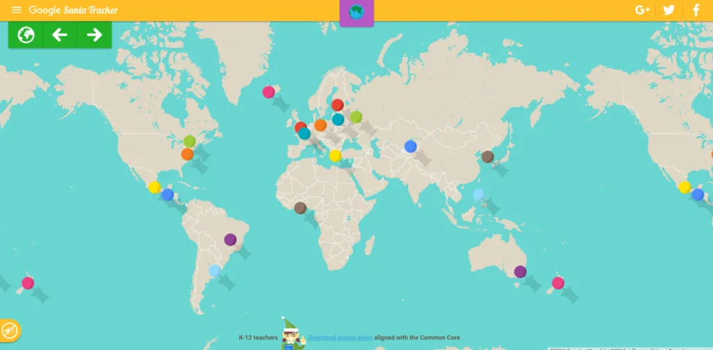
Today, I feel a little nostalgic about these times… That’s why each year I really enjoy Google’s “Santa Tracker” project. It’s an interactive Christmas website that for the past 12 years teaches, entertains and explores Santa’s world for children. Of course for us the most important part of the project is tracking St. Nick on Google Maps but this is just a part of the story. The website brings a lot of cool Christmas games and other goodies.

Each day of December, Google was unlocking a new game or experience with a strong emphasis on learning, including practicing basic coding skills, geography tests, or learning different languages. My favourite one is an interactive map which pinpoints a certain location and explores its tradition and history.

But the best I left for a dessert. Tracker gets a Pokemon Go-like feature – “Present Quest” available on Android. The new game requires you to walk around your city in order to collect virtual presents.  Google said “From games that introduce basic concepts of coding to global holiday traditions, Google’s Santa Tracker encourages holiday learning experiences in a fun way” –  especially if your little ones are impatient like I was back then it can add a charm to their watch.

Read on
Search