This is how 360° panoramas should be integrated with geospatial data
The recent release of LuciadRIA has been really something that caught my attention. It features new ways to integrate 360° panoramas and image data with other geospatial datasets. I’ve spent 3 years in TomTom working on the practical uses of Mobile Mapping data and I’m closely following all the developments in that space. What Hexagon showed is far beyond anyone else.
Luciad is 3D visualization platform acquired by Hexagon back in 2017. It provides developers with one of the most advanced engines allowing to combine 2D and 3D with real-time and dynamic data for building situational awareness and location intelligence solutions. LuciadRIA is the browser part of the platform.
Luciad solutions were catching my attention for a long time as it offered one of the best 3D experiences I’ve seen on the market, but the new 360° panoramic image features a real game-changer. It allows not only to visualize the image data but also to fully integrate it with other data. These integration capabilities go far beyond what I’ve seen till now elsewhere.
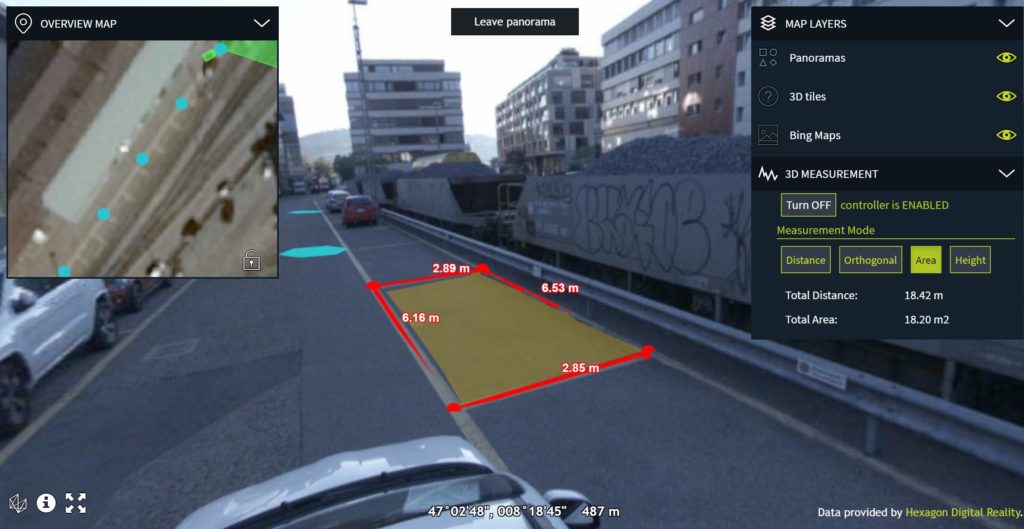
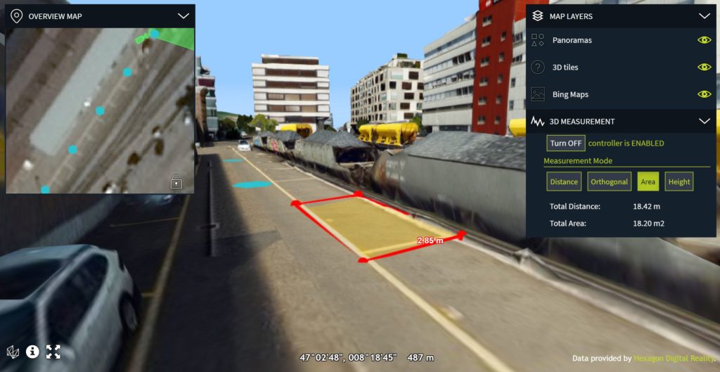
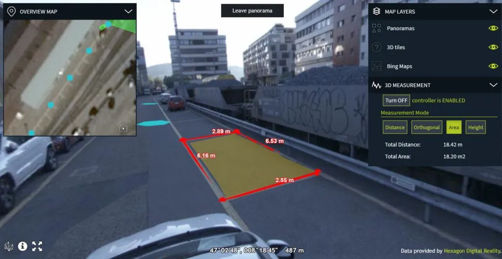
Fig. 1. Measurements done on panoramas are projected to corresponding 3D mesh model
If you combine the panoramas with 3D data of the same location (e.g. mobile mapping datasets with panoramas and LiDAR combined) users can make 3D measurements on the image data directly. LuciadRIA performs projective texturing which glues the right pixels to 3D data and makes the experience really immersive. A distance-based blending of information from different 360° captures combined with the projective texturing results in smooth navigation without transition effects and realistic-looking combination of the panoramic imagery with other data layers.
Moreover, you can treat the image data as just another data layer. If you have any vectors or real-time data it would be displayed on the top. You can for instance annotate the element on an image and it will be projected to underlying 3D datasets. It’s a real game-changer when it comes to user experience. Most of the platforms supporting Panoramic images offer basic interactions e.g. a side-by-side window showing image and mapping data.
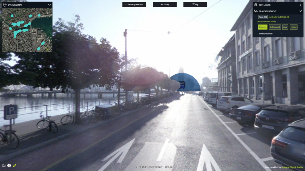
Fig. 2. Real-time bus data point overlayed on the top of the panoramic images
You can play around with the test dataset here and I recommend you do that to really understand the experience you can build. For now, the platform supports imagery in the formats E57 and Leica Pegasus which are automatically recognized and served based on the OGC 3D Tiles protocol.
360° panoramic imagery is typically used by local governments, as well as infrastructure and utility companies. By looking at the data they can remotely monitor the condition of assets and save time. Hexagon really created a new standard for interacting with panoramic data and it is clear that others will have to follow… I really look forward to seeing further developments and innovations from Hexagon.





 Now, hoping to make this book available to as many families as possible, Dan launched a crowdfunding campaign on GIS Day, Nov 18, 2020. At the time of publishing this story, his Kickstarter page had received pledges for over 90 percent of the funding goal.