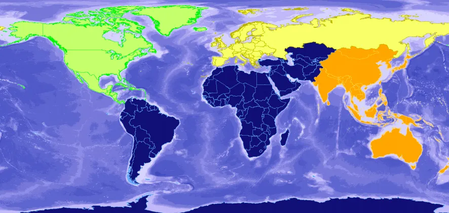
Searching for the best global GIS database for your project? Check out the new ADC WorldMap v7.3.
Working on a global GIS or mapping project is a challenge on multiple levels but one of the first problems you will face is what spatial data should you use. When you need a seamless geographic data for the whole Earth of a proven quality and at a comfortable cost there is one dataset you should look at – ADC WorldMap.
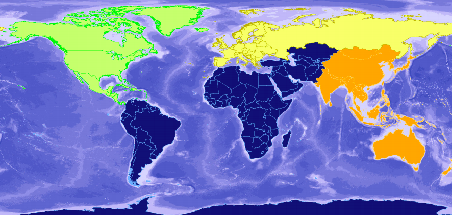
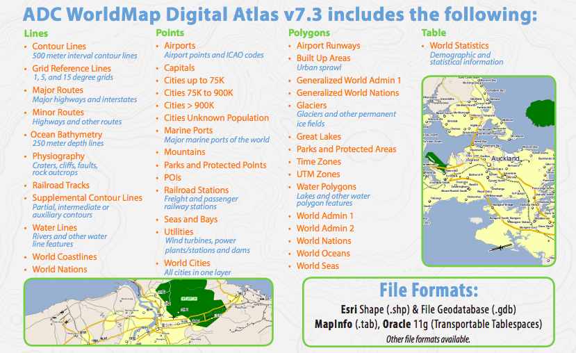
This week American Digital Cartography, Inc. released their latest version of the ADC WorldMap Digital Atlas v7.3. The company has been improving and updating this dataset for the past 2 decades. It contains 43 detail layers and tables with cities, capitals, seas & bays, POIs, world coastlines, parks and protected areas among other. The latest release includes current country and first level political boundaries for the entire world and over 39,900 second level political boundaries in 137 countries.
So why would you choose it over other data sources like OpenStreetMap? When the scope of your project is a region or country and the crowd-sourced data quality (which is really great but not guaranteed) is good enough, the OSM might indeed be a good option for you. But once you move to continental or global scale analyzing, filtering and processing that sort of level or detail can simply kill your project. I did such an exercise for a single European country a couple of years ago and it took me two weeks… Doing it for the whole continent or world would take much longer than that.
With ADC WorldMap the American Digital Cartography has managed to create a geographic dataset that balances data integrity, availability in a key GIS formats, flexible customization and licensing options as well as the level of details that is just right for the global GIS project.


