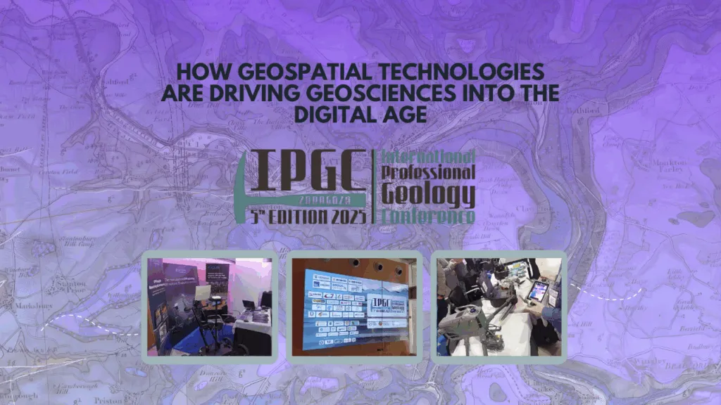
Reflection on the 5th IPGC: How Geospatial Technologies Are Driving Geosciences into the Digital Age

The 5th International Professional Geosciences Conference (IPGC) made one thing clear: the future of geosciences is digital. Across presentations and posters, it became evident that geospatial tools, remote sensing, and Earth observation are no longer just supportive, but they are redefining how geoscientists collect data, model the subsurface, and manage Earth’s resources.
1. Transforming Data Acquisition: Earth Observation and Remote Sensing
UAVs and Photogrammetry in Action
Drone-based photogrammetry has become a cornerstone for modern geological surveys. Case studies, from landslide inspections in Hong Kong to structural mapping in rugged terrain, show how UAVs deliver fast, safe, and high-resolution data collection that was once time-consuming and risky.
Enhanced Landslide Inspections with Consumer UAV & Photogrammetry
Monitoring Environmental Change
EO technologies are proving indispensable for tracking land surface dynamics, especially in post-industrial landscapes. The study from southern Poland demonstrated how integrated remote sensing helps monitor ground instability in areas with critical raw materials, offering valuable insights for sustainable resource management.
2. The Digital Subsurface: 3D Modeling and Smart Geoscience Systems
The conference’s “Geology 4.0” session captured a key shift: from static maps to interactive 3D and even 4D geological models, supported by AI and high-performance computing.
High-Performance Geological Modeling
Researchers showcased new ways to build detailed geological models using QGIS and advanced computing architectures such as CUDA and GPUs. These tools allow scientists to handle complex terrain modeling and multi-variable simulations with speed and precision.
Read more: https://gitlab.com/brgm/geomodelling/forgeo
Specialized Software for Complex Geology
Hands-on workshops using Leapfrog Geo and Leapfrog Works by SEEQUENT highlighted structural modeling techniques for geology, alteration, and contamination (GAC). Such tools are becoming standard for understanding environmental and mining contexts in 3D.
Building Europe’s Digital Geoscience Backbone
Data infrastructure is the foundation of the digital transition. The IGME-CSIC presented its work on Geoscience Information Systems; turning vast datasets into actionable insights. European initiatives: GSEU Project and the European Geological Data Infrastructure (EGDI) are key to creating a shared digital framework for geological information across the continent.
3. Geophysical and Geochemical Frontiers
Modern geoscience is about detecting what lies beneath; and geophysical and geochemical tools are pushing those boundaries.
Geophysical Characterization for Water and Energy
Techniques like Electrical Resistivity Tomography (ERT) are helping delineate saline wetlands and groundwater systems, while gravimetric surveys in areas such as Las Navas–Cañaveral and the Ebro Basin are refining our understanding of CO₂ storage potential.
Integration of New Technologies to Improve Groundwater Knowledge
Data-Driven Geochemistry
The combination of XRF core scanning and multisensor analysis is turning drill cores into digital datasets. Platforms such as BOXSCAN at CN IGME-CSIC are making it possible to map element distributions in Li-rich pegmatites, while machine learning segmentation is transforming how core-scan data are interpreted, speeding up geological logging and discovery.
4. The Intelligence Revolution: AI and Digital Geology
Artificial Intelligence is now an active collaborator in geoscientific research.
AI in Water and Environmental Studies
Machine learning models are being applied to analyze groundwater resources, assess contamination risks, and optimize environmental management strategies.
Large Language Models in Geoscience
Workshops on GeoGPT–Deep-Time Digital Earth showed how large language models (LLMs) can help geoscientists search, summarize, and connect complex datasets. From fossil identification to automated literature reviews, these tools are opening new paths for knowledge discovery and research collaboration.
Conclusion
The message from the 5th IPGC is clear: digital transformation is redefining geoscience. The ability to integrate UAVs, EO data, advanced modeling, and AI systems is becoming essential for tackling global challenges and shaping how we understand and protect our planet.
Acknowledgments
The success of the IPGC reflects the vision and dedication of its organizers, including the Spanish Official Professional Association of Geologists (ICOG), led by Nieves Sánchez, President of both ICOG and IPGC 2025.
Official website of the 5th IPGC
https://www.5th-ipgc.com/posters/
Did you like this post? Read more and subscribe to our monthly newsletter!


#Events

Next article


For anyone who’s ever struggled to explain “geospatial” at a dinner party, it’s long been easier to point to Google Maps. It has long been a cornerstone in the geospatial space, powering everything from our daily commutes to the backbone of countless location-based services. What genuinely excites me right now is how Google is infusing GenAI, especially with new Gemini models into the developer ecosystem, making it smarter, more creative, and accessible than ever.
I had the pleasure to talking to Divya Dalapathi, Director of Product Management, Google Maps Platform about Google’s new set of AI products and tools that use Gemini models and enable everyone to build smarter, faster, and anchor products on top of Google Maps.
A Deeper Look at Google Maps Platform’s New AI Tools
Google Maps is an amazing app/tool/data source and if you wanted to leverage its capabilities, you were utilizing Google Maps Platform—a toolkit of APIs and SDKs underlying more than 10 million websites and apps, from real estate and travel to rideshare and food delivery. Now, a wave of AI innovation is expanding these capabilities.
-
Maps Builder Agent: This is your low-code/no-code tool to turn your idea to interactive prototype in minutes. Write a prompt like “create a Street View tour of my city” or “map wildfire risks in the county” and watch Maps Builder use Gemini to deliver an interactive result (with no advanced coding required). The agent is currently not available in EU though.
-
Maps Styling Agent: This is your “AI Cartographer” helping you tailor map design with simple language prompts. Instantly color-code features, match a brand’s vibe, or highlight points of interest in a couple of clicks. This pushes cartographic creativity into the hands of more non-specialists and brands than ever. (You can try it out in Google AI Studio.)
-
Code Assist Toolkit: This one is for developers: Model Context Protocol (MCP) now links your AI assistant to up-to-date Google Maps Platform documentation, making code generation and troubleshooting faster; think less time debugging and improved code quality.
-
Grounding Lite: This new tool connects large language models (LLMs) to factual information from Google Maps, ensuring responses are accurate, timely, and hyper-local. Imagine a rental startup’s chatbot answering, “How far to the nearest grocery store?” backed by live Maps data, not just the LLM’s training set.
-
Contextual View: This low-code component enriches conversations by embedding immersive, interactive map and place visualizations right into the AI experience. It can display interactive 3D area maps or lists of nearby attractions, enhancing everything from vacation planning bots to smart city dashboards.
There has been a lot of attention in the GeoAI world around Geospatial Foundation Models and right so. I am particularly delighted to see the new “AI Cartographer” aka Maps Styling agent and Contextual View. Tools like them are going to open up new creative energy in the community and it is going to be super interesting to see what people create with them.
Here is the link to Google’s official blog post annoucing the tools, if you are interested in more detailed information.

