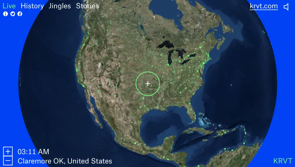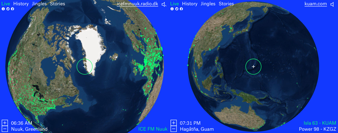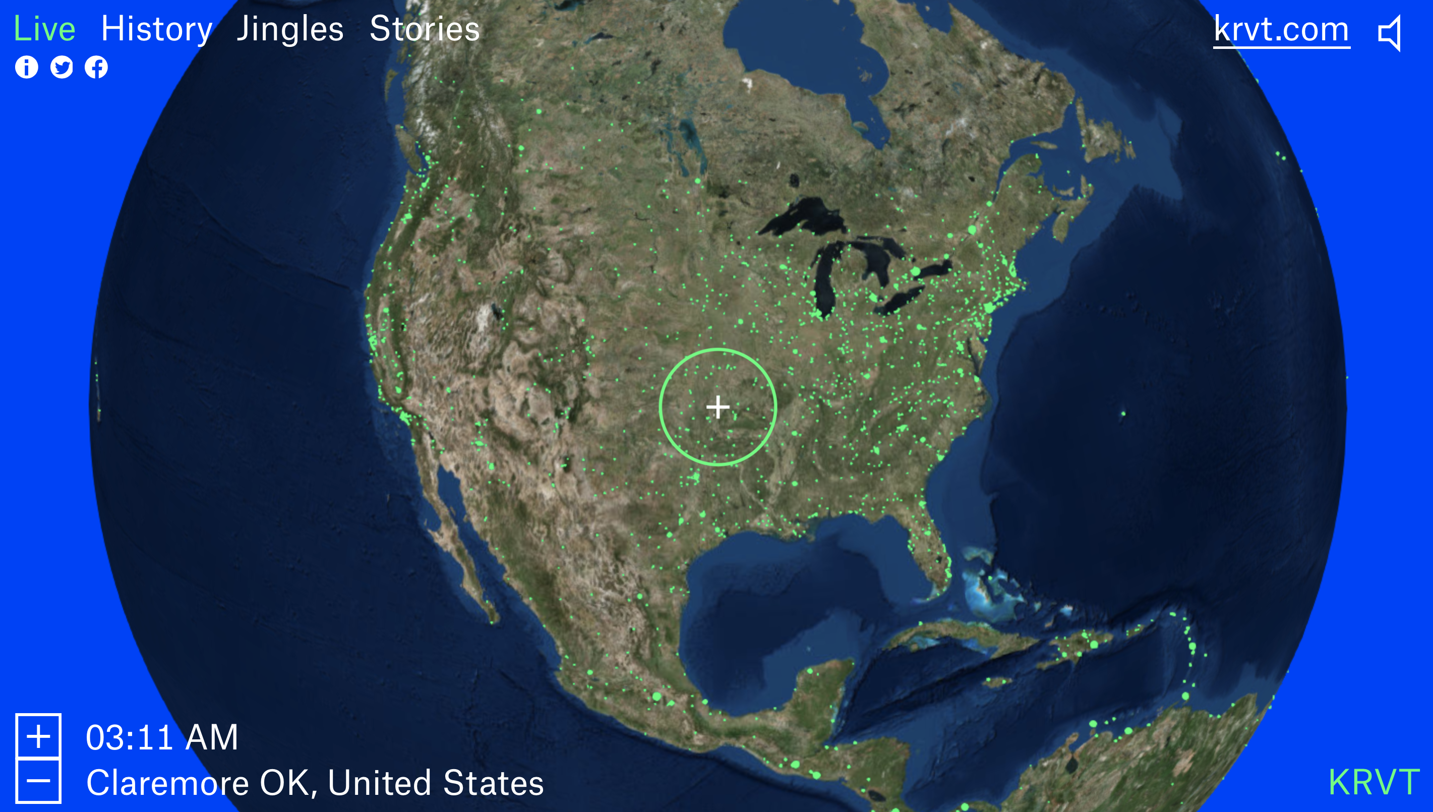
Radio Garden is map-based website with radio stations across the world
So you think that no map-based project can still surprise you? Take a look at Radio Garden… This amazing website will let you explore live streams of radio stations across the world by navigating a Google Earth-style globe.
It lets you listen to your local radio station and in a matter of seconds jump to any place on Earth. I found a radio station on Guam island in the middle of Pacific Ocean, from where I’ve jumped to hear what people listen to on Greenland. Somehow this virtual sound-space travel was a truly amazing experience.
 The project, designed by Amsterdam-based Studio Moniker and developed by the Netherlands Institute for Sound and Vision, was built using an open-source WebGL globe that draws from thousands of radio stations terrestrial and online-only streams overlaid on the top satellite imagery.
But the project is much more than a map of radio stations, it aims to connect people worldwide through shared experiences. “From its very beginning, radio signals have crossed borders,” the site says. “Radio makers and listeners have imagined both connecting with distant cultures, as well as re-connecting with people from ‘home’ from thousands of miles away — or using local community radio to make and enrich new homes.”
Additionally the website comes with various sections that focus on the different aspects of radio. There is a History section broadcasting clips throughout the history of radio, the Jingles section which plays jingles of various stations and finally, Stories section where you can read short radio-related stories contributed to the website.
It’s a truly outstanding project.


