Power of Geospatial Approch: Linking climate change and armed conflict, we can answer tomorrow’s World Peace today.
These days my aim is to model the relationship between Climate Change and Outbreak of Armed Conflict. We might know about the movie, Lord of war by Nicolas Cage. Bullet from Soviet Union weapons factory shipped across the world to an African warzone; fueled armed conflict (gun trade). Then again, Oil of Sudan and guns from china plotted the war in Sudan. So there are pictures in the pages of history, which give a vivid picture of armed conflict and the reason behind those.
Last few years several researchers were trying to model the relationship between climate change and armed conflict and of them indicated that climate change increase risk of armed conflict but there are disagreements too. Almost no spatial time series modeling has been done or suffers from poor data and inappropriate research designs. So, I was motivated to fill that gap by geospatial research approach with high resolution data and I have found that there are significant relation between climate change and armed conflict.
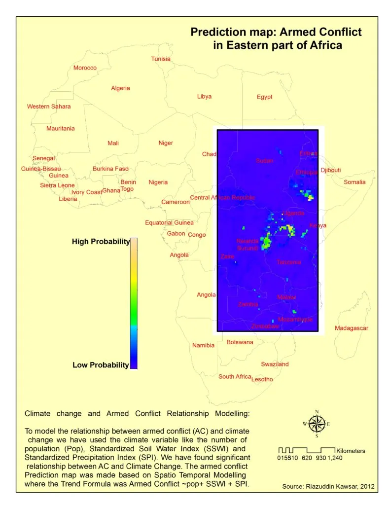
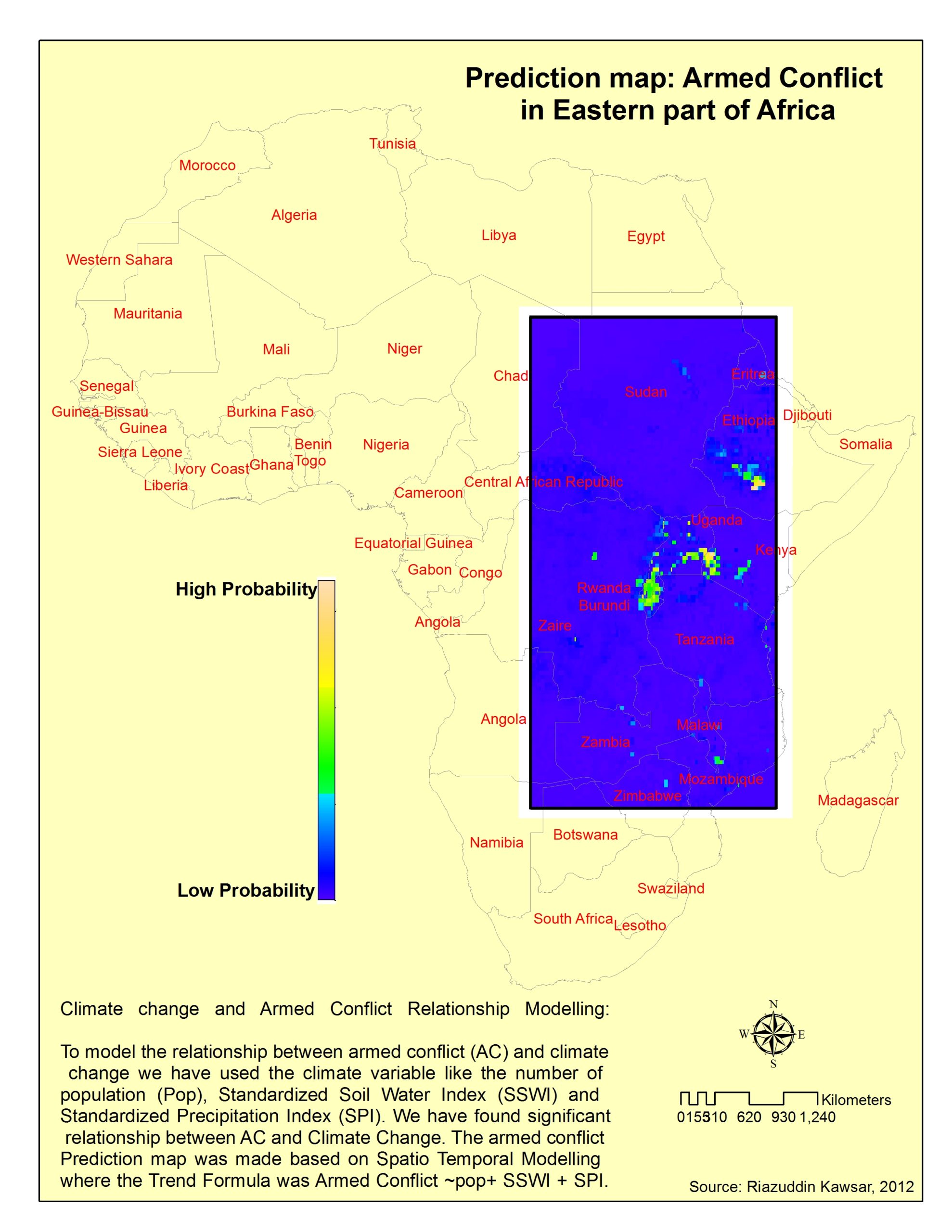
Information on this sort of relationship can help policy maker to take the right decision today for tomorrow’s peace. Here I am attaching a prediction map showing the risk zone for amred conflict due to climate change effect.

Prediction of Armed Conflict in Eastern part of Africa due to Climate Change Effect


