#Business #Ideas

Pinterest Introduces ‘Place Pins’ And Finally Becomes Geoawesome

Pinterest - Geoawesome

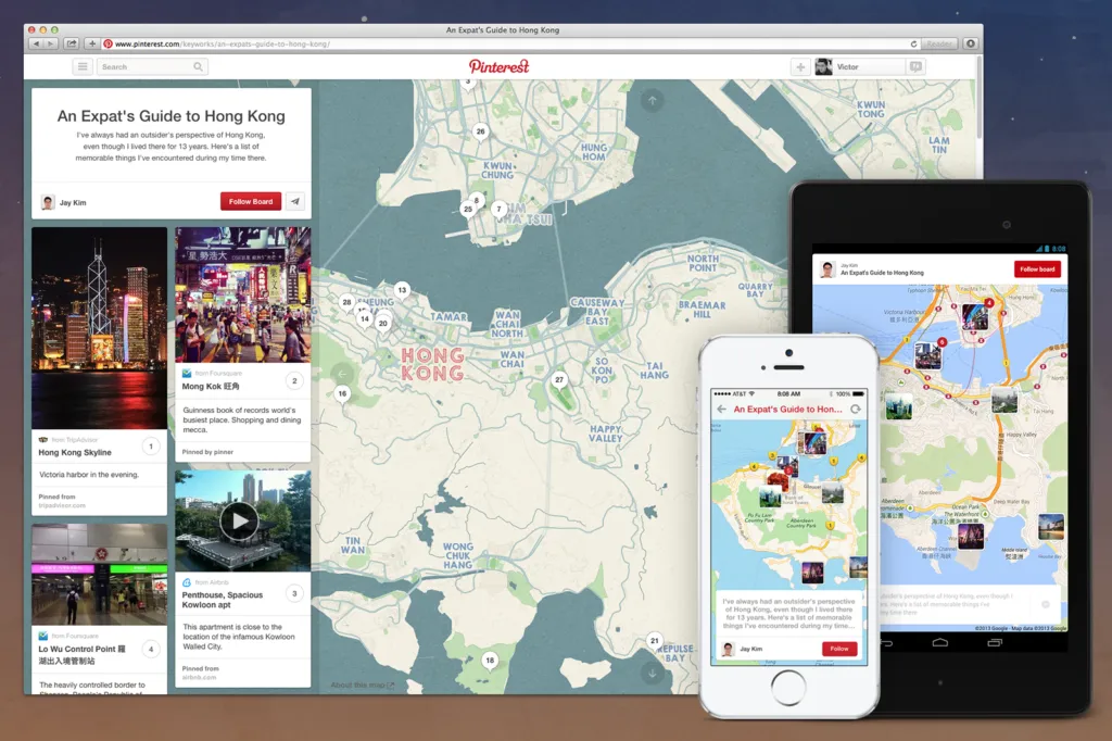
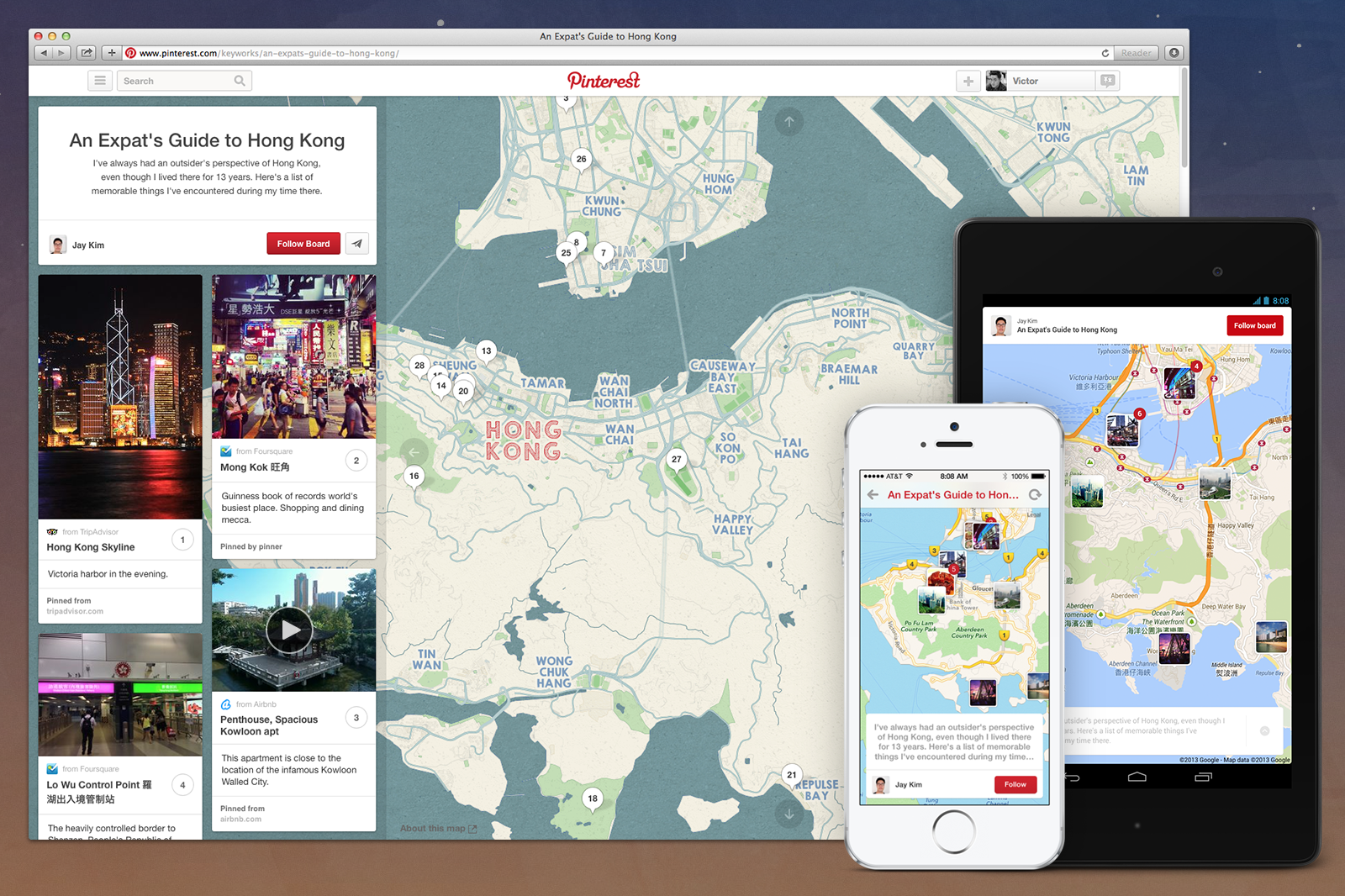
Pinterest finally introduced a new type of pin called Place Pins enabling users to “explore” and share the things around them. Place Pins will allow you to map out the locations of all the items you share on your pinboard.

Users can click “add a map” on a new board or in the settings of an existing board to start adding Place Pins. They can then add the pin’s location through a Google-type search bar. Some pins from early Pinterest partners, such as Airbnb and OpenTable, already have the location included. Pinterest CEO Ben Silbermann said:

For example, if a user pins a photo of a burger from a local restaurant in her neighborhood, she can also add the restaurant’s location to a map on her board. With these locations, users can better create pinboards for trip planning and highlighting hotspots in their particular neighborhood.

Of course this is a good way to move forward but I would have a once comment… WHY DID IT TAKE THEM SUCH A LONG TIME TO FIGURE OUT THE LOCATION SHOULD BE A KEY FEATURE OF PINTEREST??? No idea.

So why did they finally decided to move into the location-based zone? Just recently Pinterest raised a huge new funding round of $225 million. To justify that investment, which valued the company at $3.8 billion, Pinterest has begun looking for ways to make money off the massive number of user-curated pieces of content that have been collected from around the web. It seems that you cannot monetize such a database if you don’t use the spatial dimension…

Anyway Pinterest – congratulations… you’re now officially Geoawesome!

Say thanks for this article (0)
The community is supported by:
Become a sponsor
#Business
#Business #Featured #GeoDev
Geo Addressing Decoded, Part 3: Diving into the Key Features of Precisely’s Geo Addressing System
Aleks Buczkowski 06.29.2024
AWESOME 4
#Business #GeoDev
3 Pathways For Integrating Planet Data Into Your GIS Workflow
Avatar for Sponsored Article
Sponsored Article 08.12.2024
AWESOME 1
#Business #Featured #Ideas
Why Have Scientific Datasets Been So Widely Adopted in Earth Observation and What Role Does Data Quality Play?
GeoawesomeTeam 07.17.2024
AWESOME 4
Next article
#Business

What does the Earth look like ? : a different visualization!

What does our beloved planet that 7 billion of us call “home” look like? Well, I am pretty sure that most of us would imagine earth to be a little blue ball floating in space or the map with mercator projection. Something like this –

earth

The beautiful little blue ball that keeps floating around the space in an interesting journey around the benevolent Sun. 7 Billion people and most of us have this image on our heads when someone says Earth. It is amazing to note the similarity in our thinking about our planet.

Although our idea about the earth is correct. Ever imagined what the planet looks like in another wavelength, say when we look at an image by a UV camera? Ever wondered how the earth looks on a map when we play around the continents and moved them around? If you are already lost in thought, then let me entertain you for the next few minutes with a awesome video from the youtube channel vsauce about “What does the earth look like?”.

“Perhaps the best 10 minute instructional video on map projections you’ll ever see. I highly recommend watching the entire video.”  – The editor-in-chief of Directions Magazine, Joe Francica

I suppose I cannot summarize it better than Mr. Francica! The video reinforces all that we know about our Earth but somehow it is so much more interesting and informative than all the other videos about the Earth and how we view it. What do you think?

Source: DirectionsMagazine

Read on
Search