CASSINI Challenges: Europe’s Space Entrepreneurship Competition
For decades, space was the playground of big organisations be it government agencies with bottomless budgets or massive aerospace corporations. Today, the space sector is much more dynamic and the mos…

Videos
Mapping human well-being and development at the local level

GeoAI: The new frontier of Financial intelligence | GIST Impact | AI & Geospatial Dialogue

How PLACE Builds Trust and Transparency in Geospatial Data | AI & Geospatial Dialogue Series
Trust in AI requires trust in data | Open Geospatial Consortium | AI & Geospatial Dialogue Series
The role of GeoAI in Finance by Nataliya Tkachenko | AI & Geospatial Dialogue
Tessera: Building a Global Open-Source Geospatial Foundation Model
The latest


Events
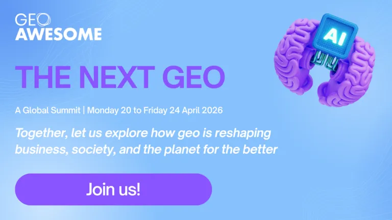
Next Event
04.20.2026
The Next Geo | A Global Summit by Geoawesome
Podcasts
All PodcastsToday’s Featured

More Stories


Search