Map – poem by Wislawa Szymborska
Originally, I shared this blog post in 2014 after coming across the English translation of “Map” by Wisława Szymborska in The New Yorker.Reading it again more than a decade later, I felt compelled to …


Videos
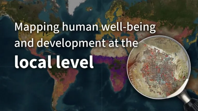
Mapping human well-being and development at the local level

GeoAI: The new frontier of Financial intelligence | GIST Impact | AI & Geospatial Dialogue

How PLACE Builds Trust and Transparency in Geospatial Data | AI & Geospatial Dialogue Series
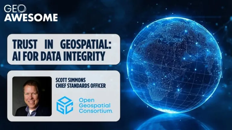
Trust in AI requires trust in data | Open Geospatial Consortium | AI & Geospatial Dialogue Series
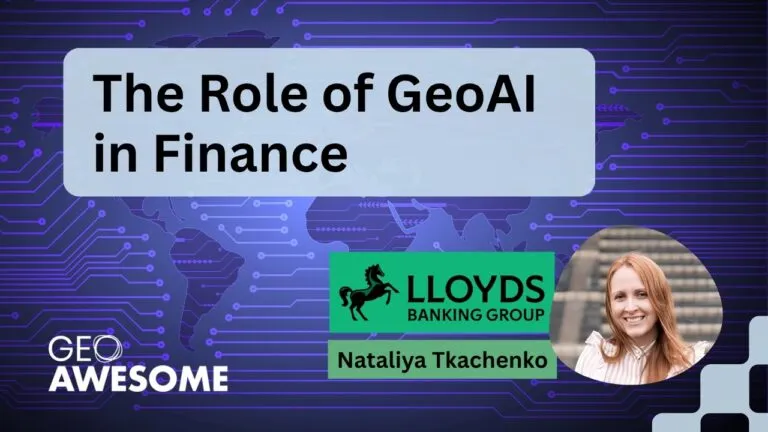
The role of GeoAI in Finance by Nataliya Tkachenko | AI & Geospatial Dialogue
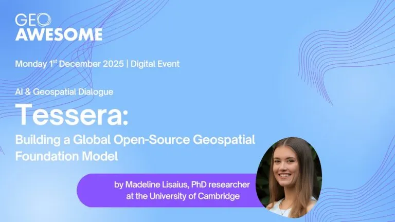
Tessera: Building a Global Open-Source Geospatial Foundation Model
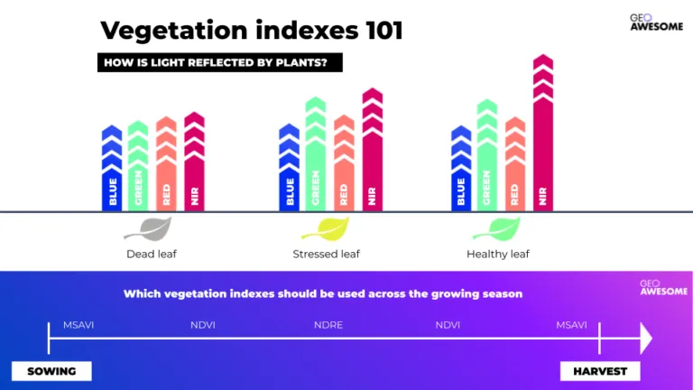
The latest


Events
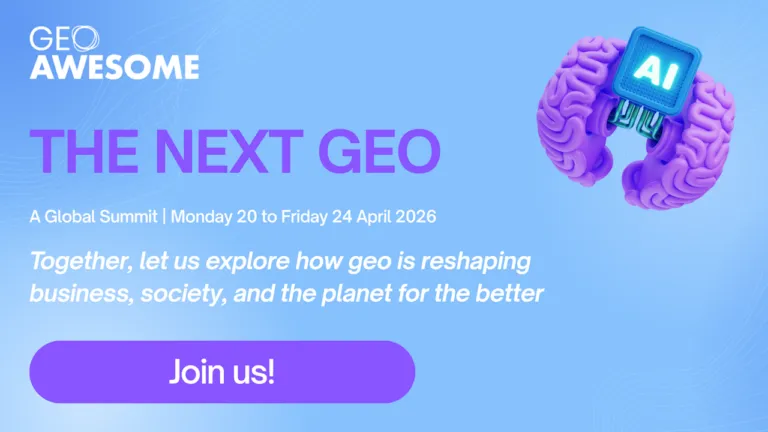
Next Event
04.20.2026
The Next Geo | A Global Summit by Geoawesome
Podcasts
All PodcastsToday’s Featured


More Stories


Search