Mars, our beloved Red Planet and possible space colony of the future has been mapped several times in the past but always in a fashion that made the map look alien (The map of Mars’ geology). Then again, map making is an art and there is a reason why Cartographers are the rock stars in this game.
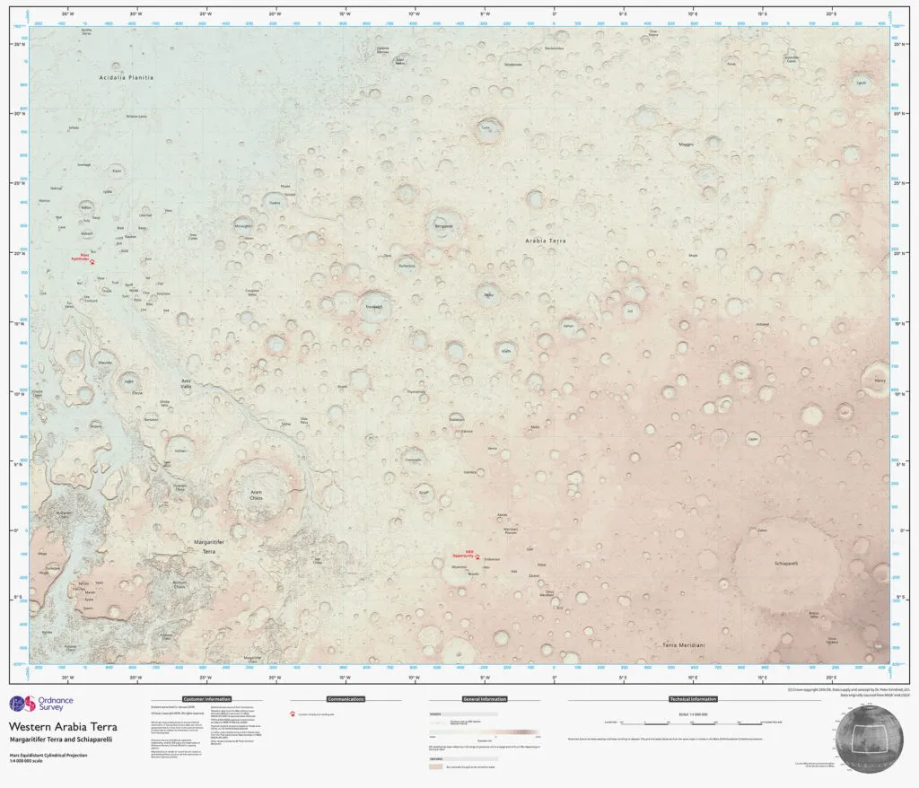
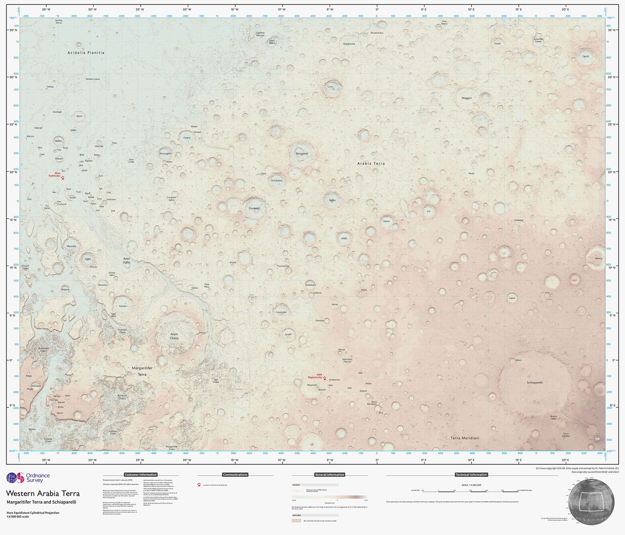
Chris Wesson, a cartographic designer with Ordnance Survey, Britain’s mapping agency has created an interesting map of Mars that the WIRED titled “A Map of Mars That’s Perfect for Everyday Earthlings” aka tech blog lingo for a paper map? I don’t know but it is certainly very interesting from a cartographic viewpoint.
Iconic Paper Maps – Ordnance Survey Mars Map
The planet Mars has become the latest subject in our long line of iconic OS paper maps. The one-off Ordnance Survey Mars map, created using NASA open data and made to a 1:4,000,000 scale, is made to see if our style of mapping has potential for future Mars missions. – Ordnance Survey blog post
The cartographic style for the mars map is somehow similar to other OS maps but there are certainly elements in the design that are different. If you are interested in understanding the thought process of the Cartographer, head over to Ordnance Survey blog post about the map – here’s the link.
The Mars Map is available as a paper map and is certainly destined to be hung on your wall as an art exhibit.


